Beyond the Blue: Papahānaumokuākea Mapping
(EX2403, EX2404, EX2501)
Expedition Features
The features below will help you to understand the goals and objectives of the Beyond the Blue: Papahānaumokuākea Mapping expeditions and provide additional context and information about the places being explored and the science, tools, and technologies being used.
Nā ʻOihana: Jobs on NOAA Ship Okeanos Explorer
December 12, 2024
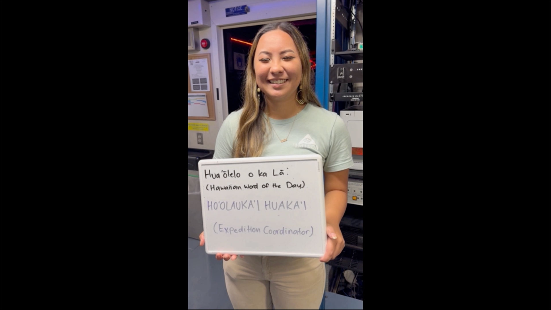
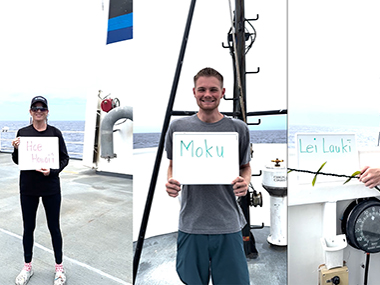
Join Beyond the Blue: Papahānaumokuākea Mapping 3 expedition cultural liaisons Kelsie Pīkake Kuniyoshi and Kalauʻihilani Robins and members of the on-ship team to learn the ʻŌlelo Hawaiʻi (Hawaiian language) words to describe some of the many career opportunities in ocean exploration.
Read moreA Journey on NOAA Ship Okeanos Explorer
October 28, 2024
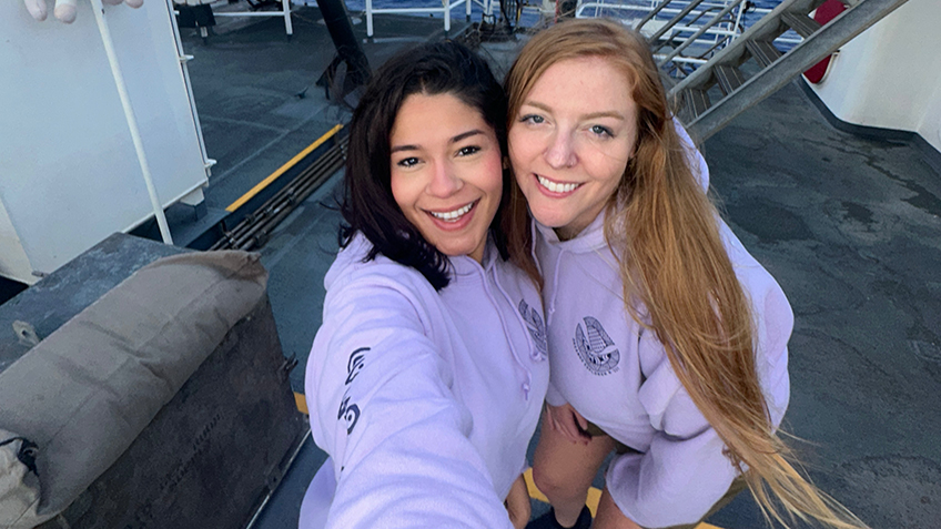
Join Explorers-in-Training Sarah Hutchinson and Astrid Zapata-De Jesus on the Beyond the Blue: Papahānaumokuākea Mapping 3 expedition. Follow along as they share their adventures on NOAA Ship Okeanos Explorer to map the deep waters of Papahānaumokuākea Marine National Monument.
Read moreNa Pō Mahina: Moon Phases of the Hawaiian Calendar
September 13, 2024
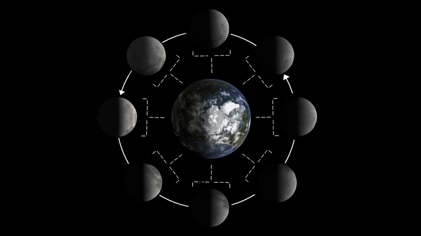
Join Kala Hind-Boyd, cultural liaison for the second Papahānaumokuākea Mapping expedition, to learn the ʻŌlelo Hawaiʻi (Hawaiian language) words for various phases of the moon. The lunar calendar can act as a guide for planting, fishing, charting the ocean tides, and the timing of spiritual ceremonies.
Read moreChange of Command for NOAA Ship Okeanos Explorer
August 8, 2024
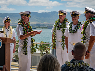
Please join NOAA Ocean Exploration in thanking and bidding farewell to Captain Colin Little, outgoing Commanding Officer of NOAA Ship Okeanos Explorer and welcoming the ship’s new Commanding Officer, Commander Tony Perry III!
Read morePapahānaumokuākea
July 3, 2024
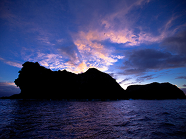
Papahānaumokuākea Marine National Monument, the site for exploration during the Beyond the Blue: Papahānaumokuākea Mapping 1 expedition, is the largest contiguous fully protected conservation area under the U.S. flag and one of the largest marine conservation areas in the world.
Read moreHawaiian Word of the Day
July 2, 2024
Throughout the Beyond the Blue: Papahānaumokuākea Mapping 1 expedition, join Native Hawaiian cultural liaisons Malia Kapuaonālani Evans and Makoa Pascoe each day as they introduce a new Hawaiian word connected to ocean exploration.
Read moreWhat is bathymetry?
July 1, 2024
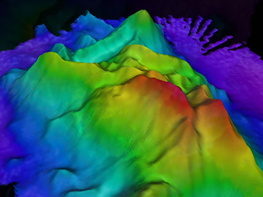
Bathymetry is the study of underwater floors in oceans, rivers, or lakes. It involves collecting information about the depth of the ocean.
Read moreLia Kim’s Daily Reflection Log Aboard NOAA Ship Okeanos Explorer
June 28, 2024
Lia Kim is the 2024 science communication Explorer-in-Training for the Beyond the Blue: Papahānaumokuākea Mapping 1 expedition. Join her throughout her adventure!
Read moreMapping Moananuiākea
June 25, 2024
Expedition underway to map deep waters in and around Papahānaumokuākea Marine National Monument
Read more