Beyond the Blue: Papahānaumokuākea Mapping
(EX2403, EX2404, EX2501)
Dates
June 21 - July 9, 2024
July 18 - August 12, 2024
October 19 - November 12, 2024
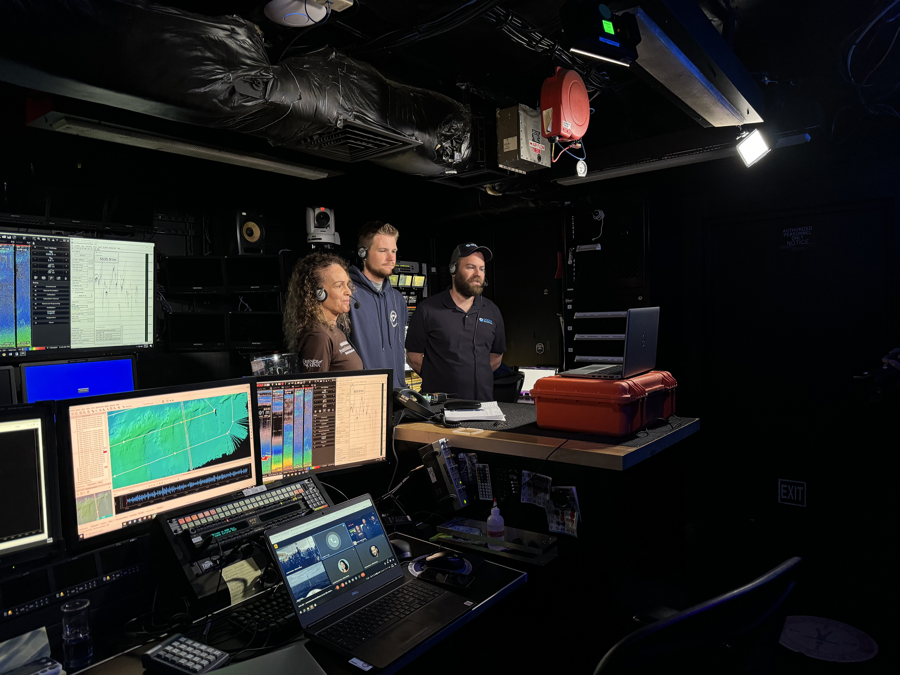
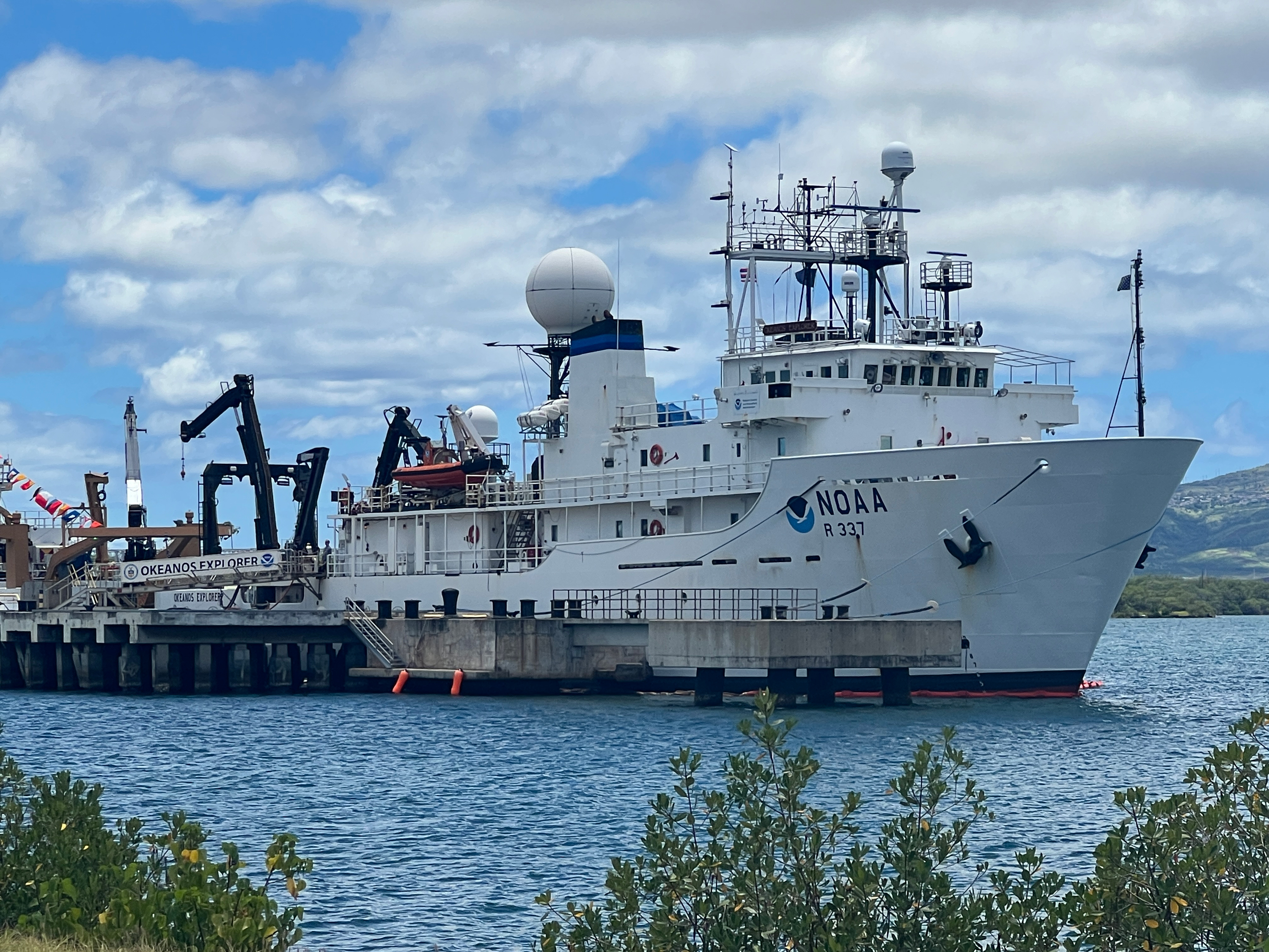
Vessel
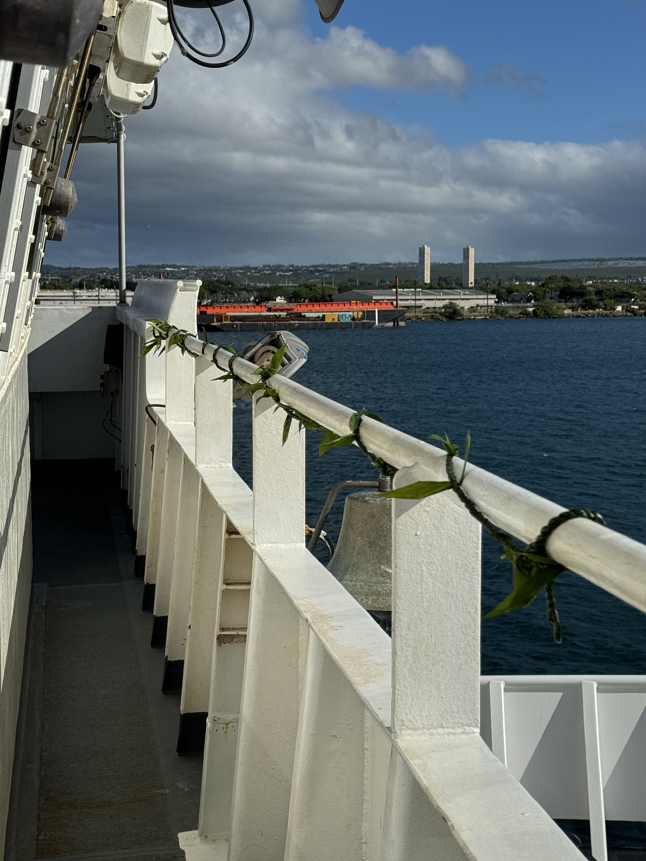
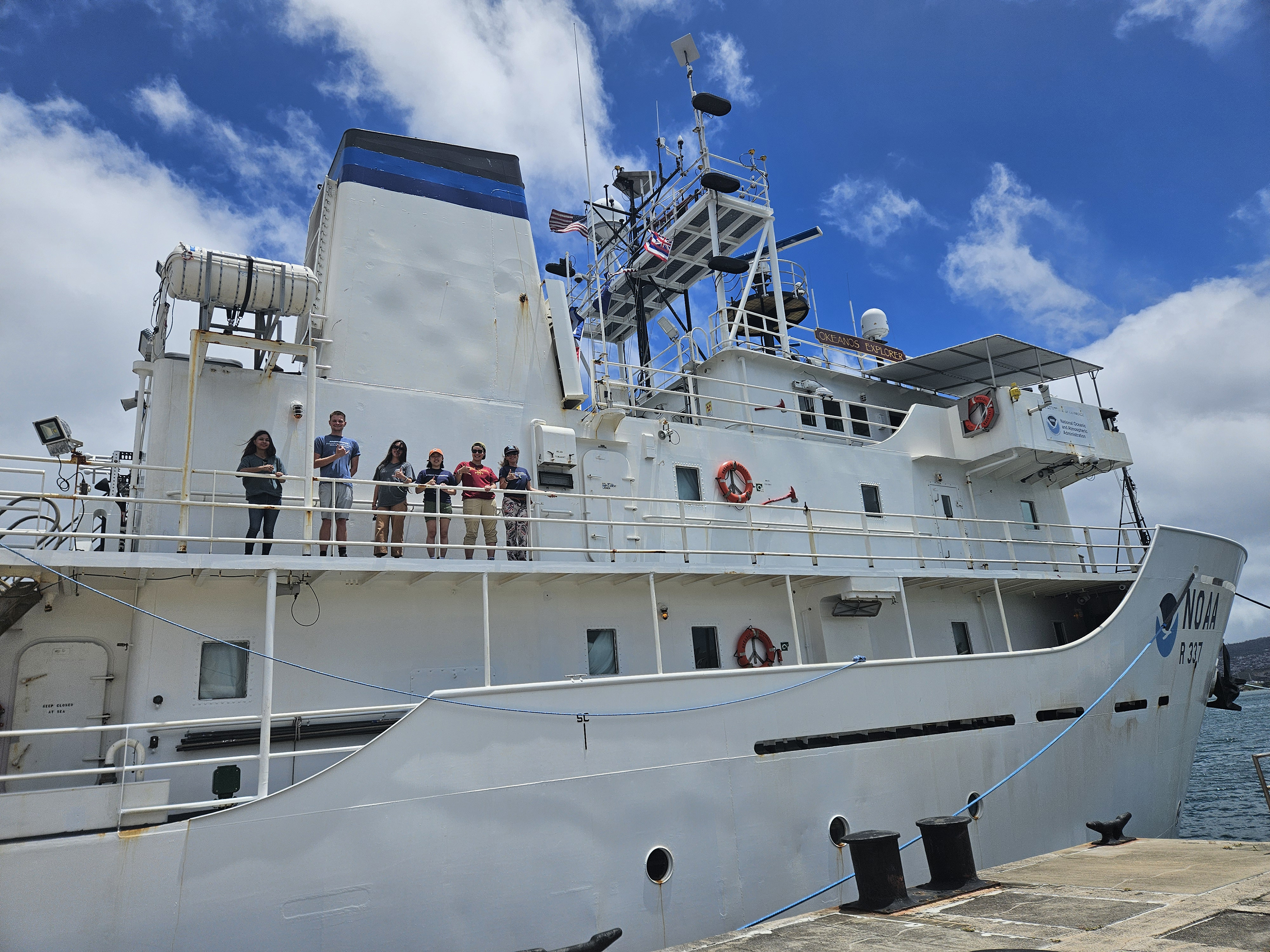
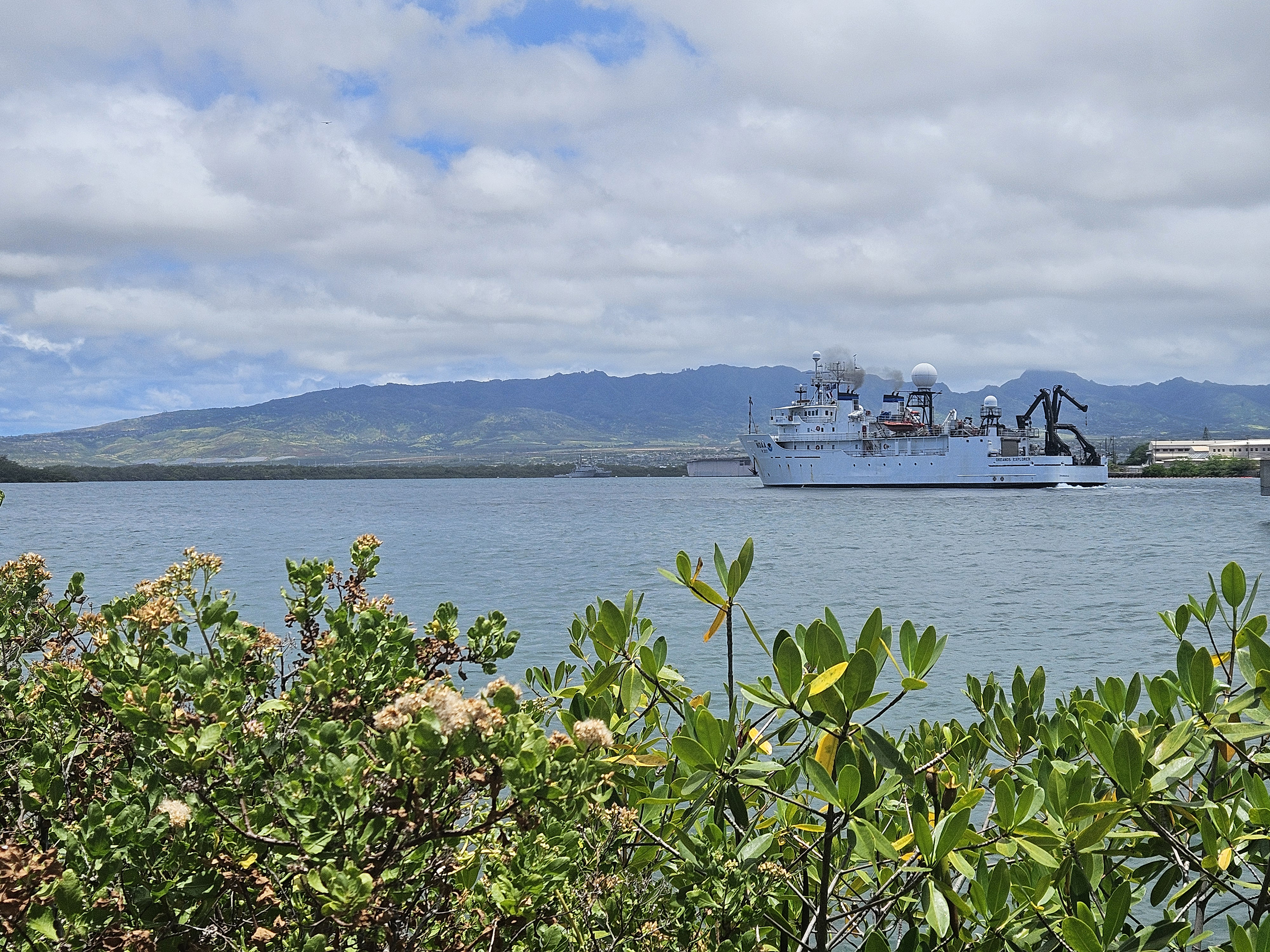
NOAA Ship Okeanos Explorer
Location
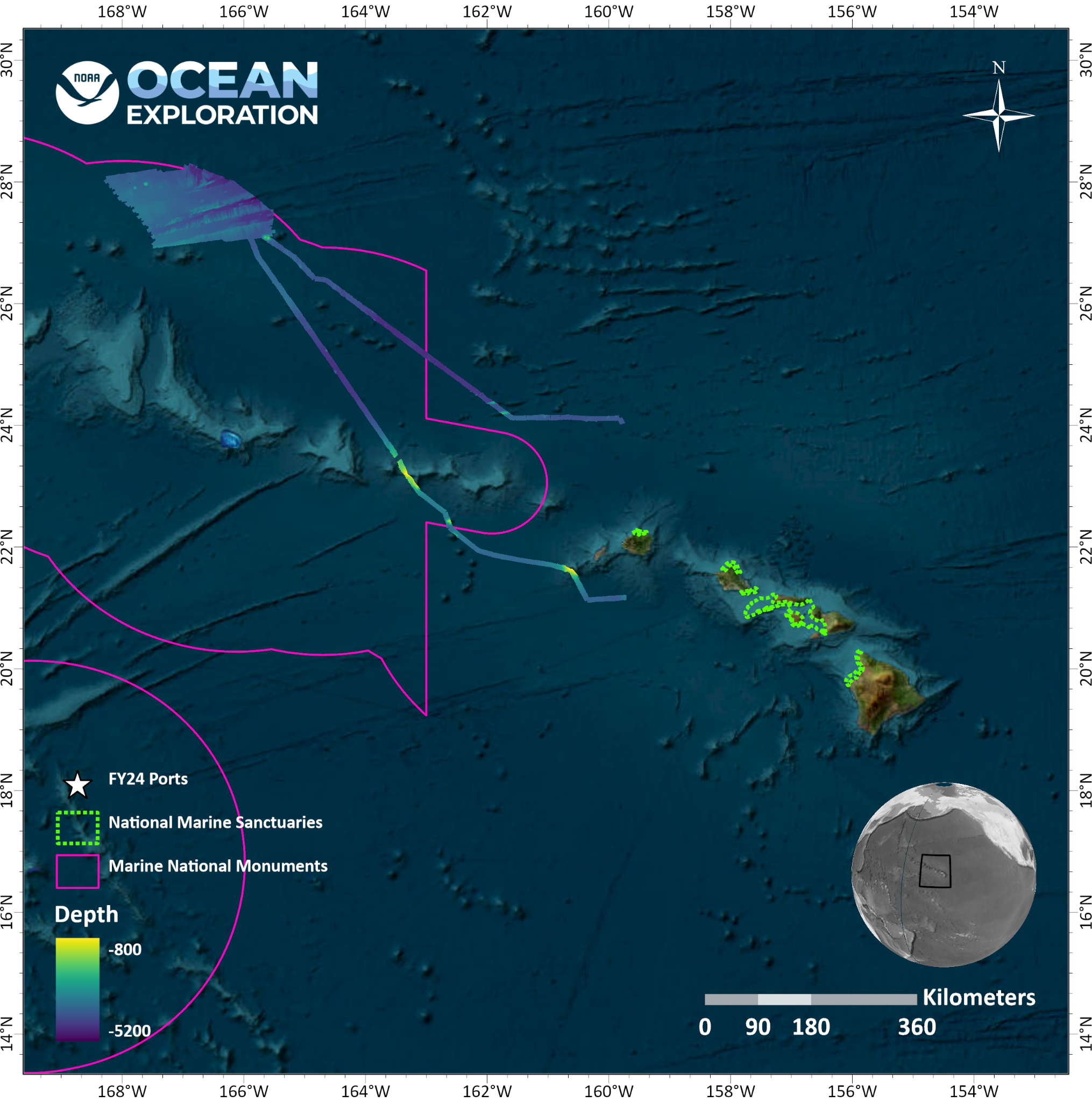
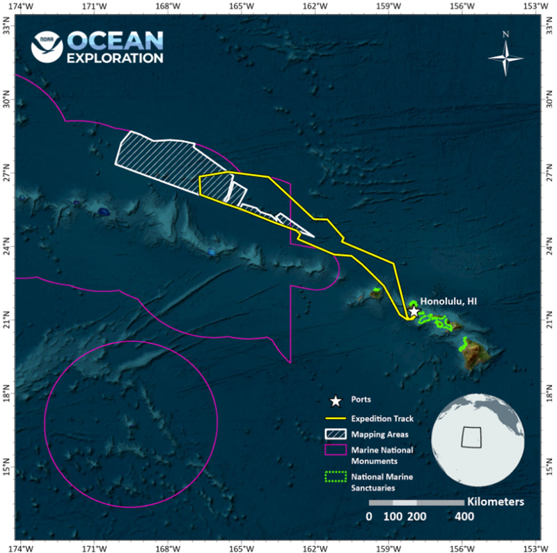
Pacific Ocean: Papahānaumokuākea Marine National Monument
Primary goal
Increase mapping coverage in unexplored areas of Papahānaumokuākea Marine National Monument, with a focus on waters deeper than 200 meters (656 feet)
Primary technologies
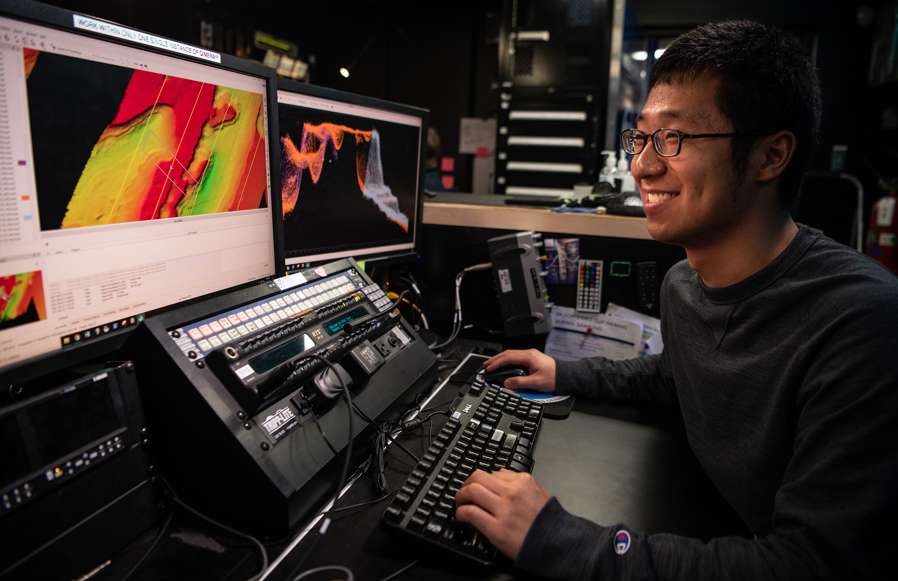
Multibeam sonar
Expedition Summaries
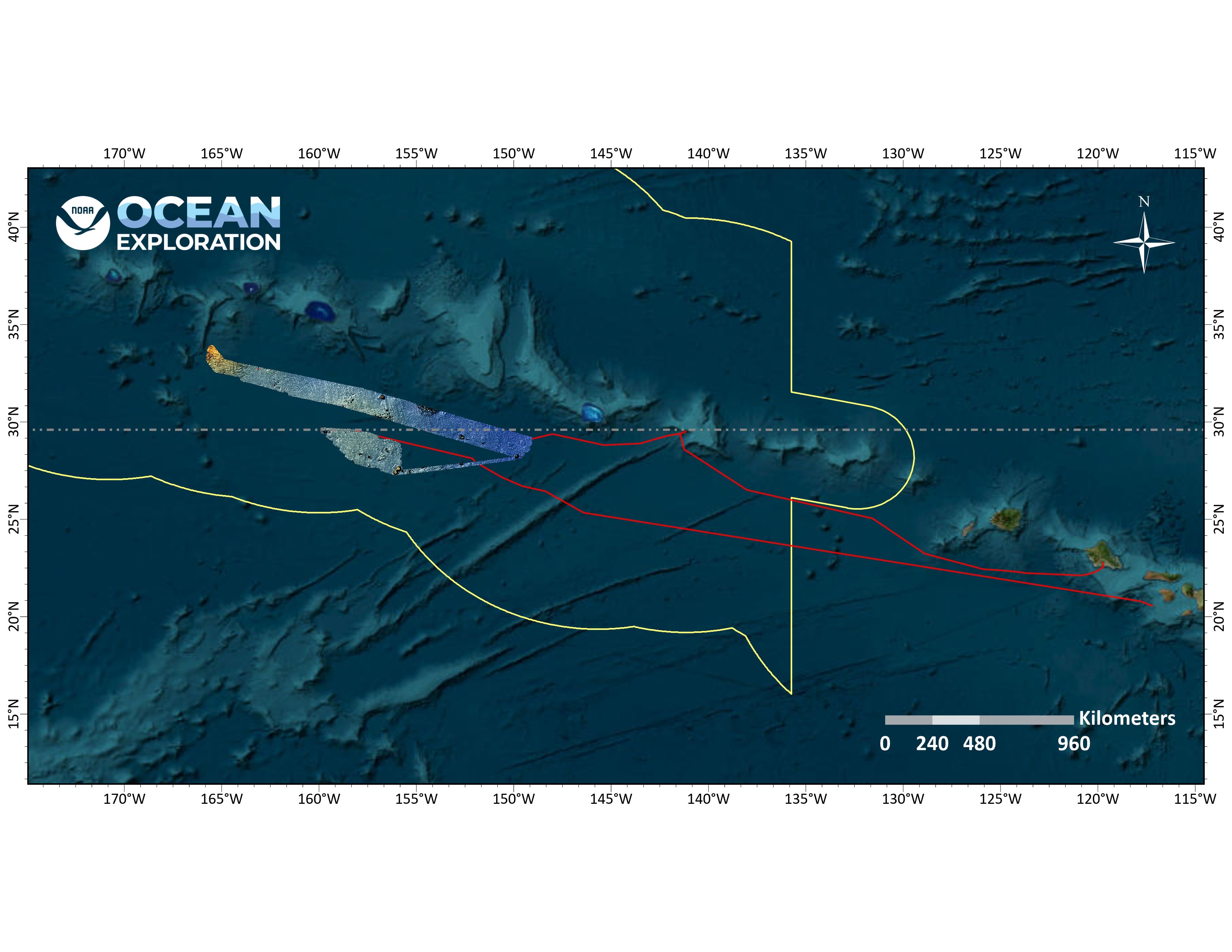
In June, July, and August, NOAA Ocean Exploration conducted two exploratory ocean mapping expeditions on NOAA Ship Okeanos Explorer focused on waters generally deeper than 200 meters (656 feet) in and around Papahānaumokuākea Marine National Monument. The ship then returned to Papahānaumokuākea in October and November for a third mapping expedition. All together, 136,685 square kilometers (52,774 square miles) of the Papahānaumokuākea Marine National Monument were mapped during the three expeditions, increasing the monument’s modern mapping coverage by approximately 9%.
Summaries for each individual expedition are provided below.
Beyond the Blue: Papahānaumokuākea Mapping 1 (EX2403)
Papahānaumokuākea Mapping 1 was the first expedition within the monument in 2024. Over the course of the 19-day expedition, which took place June 21-July 9, 2024, 42,272 square kilometers (14,183 square nautical miles) of seafloor in waters deeper than 200 meters (656 feet) were mapped, including nearly 41,086 square kilometers (25,529 square nautical miles) within the U.S. Exclusive Economic Zone (EEZ).
Highlights from the expedition include:
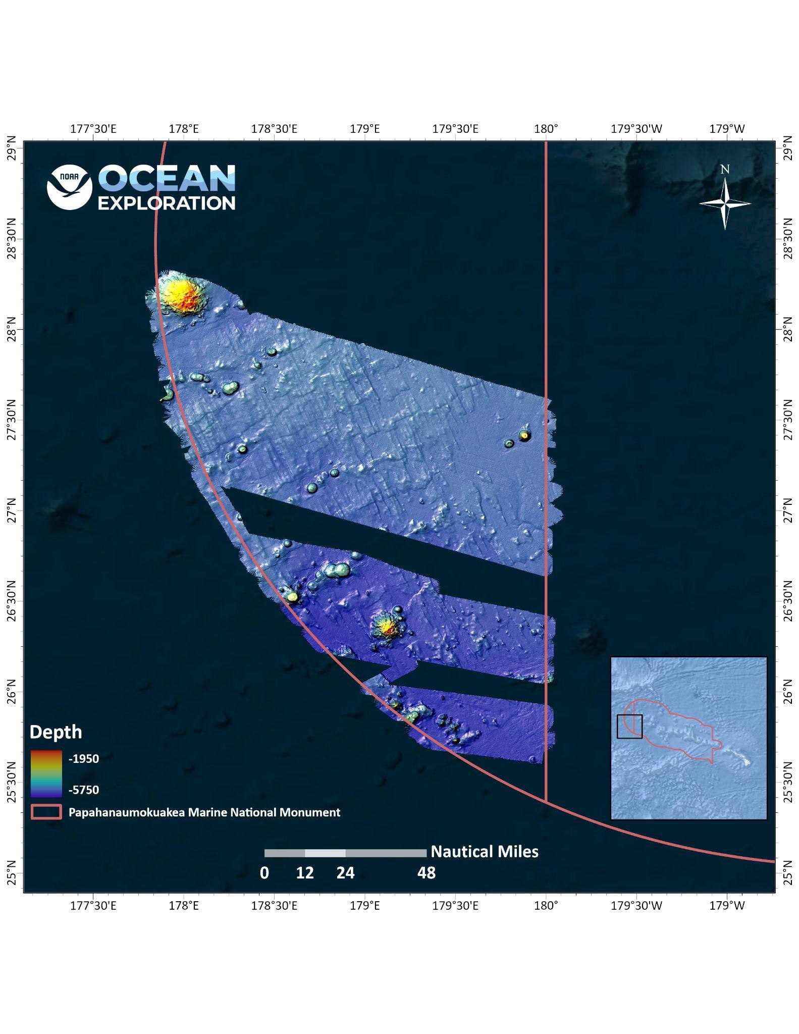
- Conducting focused multibeam bathymetry and backscatter surveys along the Murray Fracture Zone, revealing new insight into the 100-million-year-old history of the now-extinct Pacific-Farallon Spreading Center.
- Mapping a previously unnamed and unmapped seamount that rises 1,300 meters (4,265 feet) off the seafloor and has a caldera, or volcanic crater, that spans 2.4 kilometers (1.5 miles).
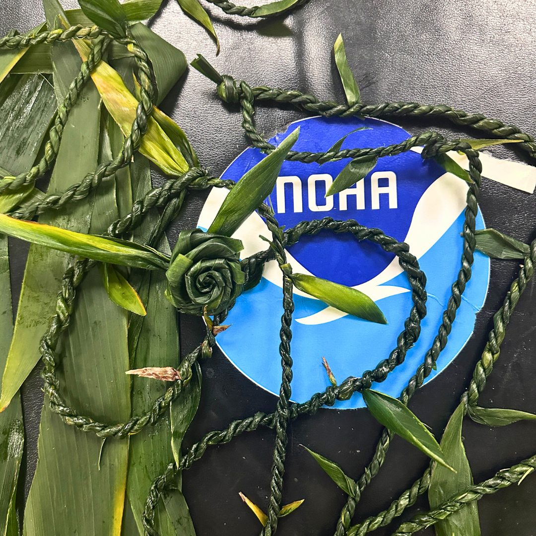
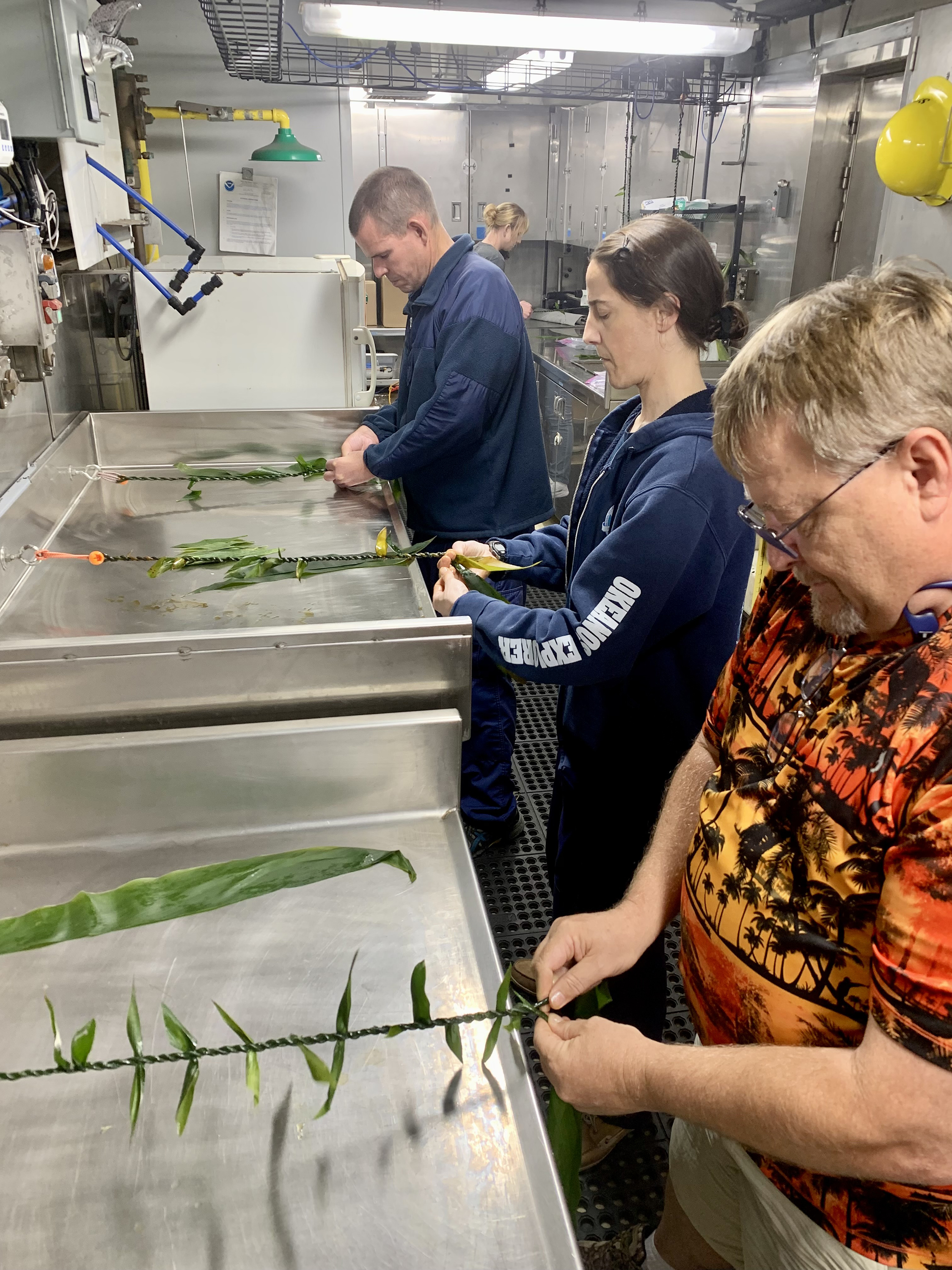
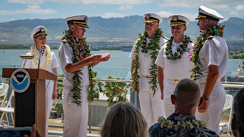
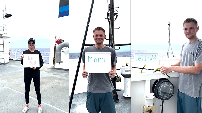
- Hosting Hawaiian community liaisons Malia Evans and Makoa Pascoe to highlight the local knowledge and practices that were an important part of the history of the monument. This effort was developed in partnership with NOAA’s Office of National Marine Sanctuaries.
- Conducting live ship-to-shore interactions with the Hui Mālama i ke Ala ʻŪlili Keiki Papa community summer mentorship program and the Punahou School on Oʻahu.
- Training four Explorer-in-Training interns, including three interns in ocean mapping data acquisition and processing as well as one science communications Explorer-in-Training intern.
Beyond the Blue: Papahānaumokuākea Mapping 2 (EX2404)
July 18-August 12, NOAA Ocean Exploration conducted the Papahānaumokuākea Mapping 2 expedition within deep waters of Papahānaumokuākea. More than 77,100 square kilometers (29,768 square miles) of seafloor was mapped during the expedition, including over 76,000 square kilometers (29,344 square miles) within the U.S. EEZ.
Highlights from the expedition include:
- Mapping previously unmapped seamounts, including one rising more than 3,000 meters (9,842 feet) above the surrounding seafloor.
- Hosting Hawaiian community liaison, Kalā Hind Boyd, to highlight the local knowledge and practices that were an important part of the history of the monument. This effort was developed in partnership with NOAA’s Office of National Marine Sanctuaries.
- Conducting live ship-to-shore interactions with school groups and community organizations to communicate the goals of the expedition and the importance of ocean exploration.
- Training three Explorer-in-Training interns in ocean mapping data acquisition and processing.
Beyond the Blue: Papahānaumokuākea Mapping 3 (EX2501)
To wrap up 2024 operations, NOAA Ocean Exploration spent 25 days at sea on NOAA Ship Okeanos Explorer on the Papahānaumokuākea Mapping 3 expedition. From October 19-November 12, the team collected 43,029 square kilometers (12,545 square nautical miles) of bathymetric data in waters deeper than 200 meters (656 feet), all within the U.S. EEZ.
Highlights from the expedition include:
- Mapping focused survey areas southeast of Maro Reef in the monument expansion zone.
- Conducting 12 live ship-to-shore interactions with school groups and community organizations.
- Hosting Hawaiian community liaisons, Pīkake Kuniyoshi and Kalauʻihilani Robins, to highlight the local knowledge and practices that were an important part of the history of the monument. This effort was developed in partnership with NOAA’s Office of National Marine Sanctuaries
- Training three Explorer-in-Training interns in ocean mapping data acquisition and processing, two of whom also contributed to public communication efforts.
Images and Videos
Meet the Explorers
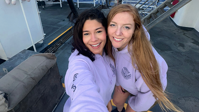
Naming every participant in a telepresence-enabled expedition is next to impossible, as scientists from around the world have provided input into the expedition plan. However, we've gathered information about the members of the team who are sailing on the ship and participating in the expedition from sea - meet the team!

Trish Albano
Expedition Coordinator
Papahānaumokuākea Mapping 3

Mark Durbin
Data Engineer
Papahānaumokuākea Mapping 3

Kelsie Pīkake Kuniyoshi
Cultural Liaison
Papahānaumokuākea Mapping 3

Astrid Zapata-De Jesus
Explorer-in-Training
Papahānaumokuākea Mapping 3
Education Content
Education Theme pages provide the best of what the NOAA Ocean Exploration website has to offer to support your classroom during this expedition. On each theme page, you will find links to expedition features, lessons, multimedia, career information, and associated past expeditions.


Related Links
Expeditions
- NOAA Ship Okeanos Explorer: Beyond the Blue: Illuminating the Pacific
- Campaign to Address Pacific monument Science, Technology, and Ocean NEeds (CAPSTONE)
- Exploration Vessel Nautilus and Papahānaumokuākea Marine National Monument
Technology
Media Contacts
Emily Crum
Communications Specialist
NOAA Ocean Exploration
ocean-explore-comms@noaa.gov
Keeley Belva
Public Affairs Officer
NOAA Office of Marine and Aviation Operations
keeley.belva@noaa.gov
Sarah Marquis
West Coast/Pacific Islands Media Coordinator
NOAA Office of National Marine Sanctuaries
sarah.marquis@noaa.gov
For more information, visit the Media Resources page.
Expeditions conducted by NOAA Ocean Exploration as part of Beyond the Blue will contribute to the National Strategy for Exploring, Mapping, and Characterizing the United States Exclusive Economic Zone and Seabed 2030.
As appropriate, data collected during all expeditions will be available in NOAA’s public data archives within 90-120 days of its completion and will be accessible via the NOAA Ocean Exploration Data Atlas.
Published June 18, 2024
Last updated September 13, 2024