Beyond the Blue: Papahānaumokuākea Mapping
(EX2403, EX2404, EX2501)
Mapping Moananuiākea
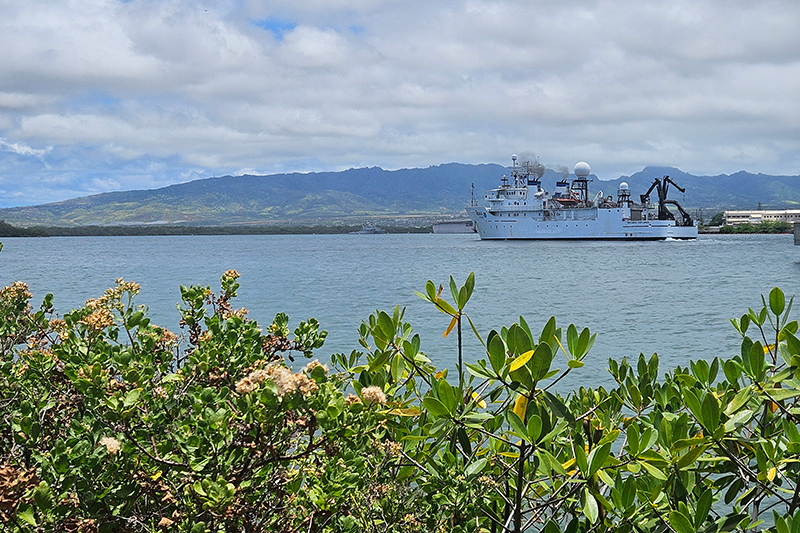
On June 21, NOAA and partners embarked on an expedition to explore Papahānaumokuākea Marine National Monument and UNESCO World Heritage Site. Protecting more than 580,000 square miles of Pacific Ocean, Papahānaumokuākea is one of the largest protected biocultural seascapes on the planet, supporting a diversity of life and providing refuge for hundreds of native and endemic species.

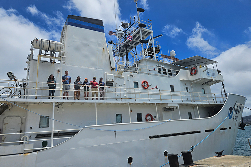
The Beyond the Blue: Papahānaumokuākea Mapping 1 expedition is the second of six expeditions being led in 2024 by NOAA Ocean Exploration on NOAA Ship Okeanos Explorer to collect critical mapping data in deep waters of Hawaiʻi and Johnston Atoll. Data collected will contribute to Beyond the Blue: Illuminating the Pacific, a multiyear, collaborative science and research campaign aimed at bringing together partners to raise collective knowledge, understanding, and appreciation of waters in the Pacific Islands region through coastal and ocean mapping, exploration, and characterization.
Operations throughout the expedition will focus on mapping waters deeper than 656 feet (200 meters) using advanced mapping systems on Okeanos Explorer. Collected data can be used to develop high-resolution maps of the seafloor and provide information about the seabed and water column. These data can inform future exploration efforts, help us assess the current ocean environment, increase our understanding of marine life and habitats, and increase public awareness and appreciation of the ocean.

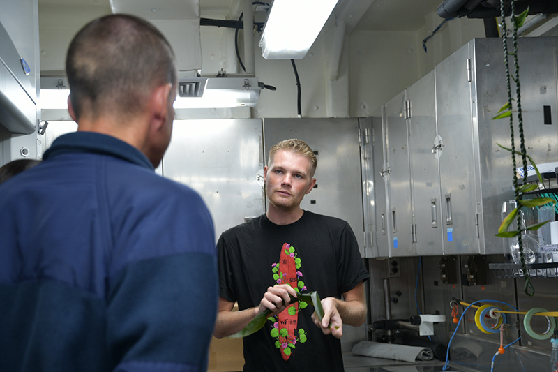
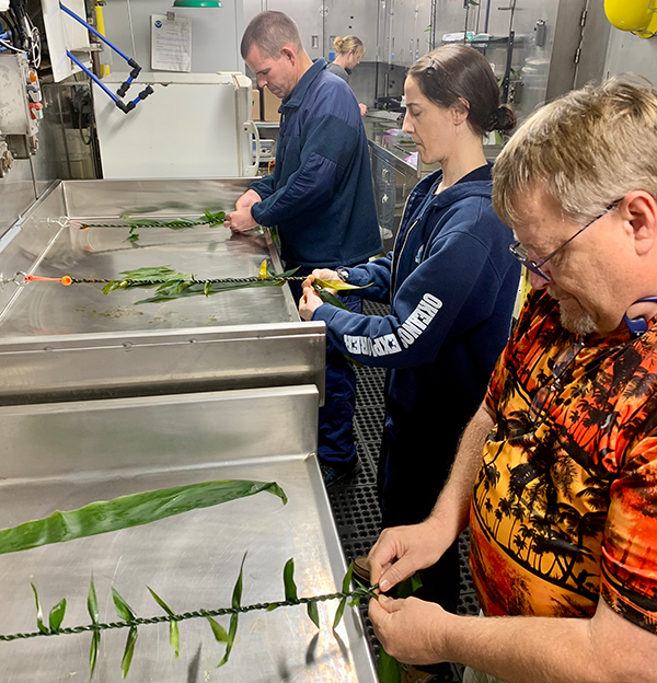
An important component of this and future expeditions in the Pacific is the incorporation of Indigenous knowledge systems, values, life experiences, and practices to build a more comprehensive biocultural understanding of the areas being explored. During this expedition, NOAA will host two Native Hawaiian cultural liaisons, Malia Kapuaonālani Evans and Makoa Pascoe. Throughout the expedition, Malia and Makoa will share and lead protocols and cultural practices with the ship’s crew and the science team. Their roles as cultural liaisons highlight the importance of Indigenous knowledge and values in increasing our understanding of the oceanscape of Papahānaumokuākea and the broader Pacific.

By weaving Western approaches to science with Indigenous knowledge systems, our aim is that the data, information, and knowledge gained and shared will deepen public understanding and appreciation for the resources Moananuiākea, the Pacific holds, so these resources and the places that harbor them can be appropriately and respectfully managed, protected, and celebrated. A healthy and thriving ocean is important to the communities around the Pacific that depend on the ocean for their well-being.

Throughout the expedition, participants will share stories from sea via the NOAA Ocean Exploration website and social media accounts, including Facebook, Instagram, Twitter/X, LinkedIn, and YouTube. Join us and follow along!
Published June 25, 2024