Cooperation, Coordination, and Compromise
September 21, 2003
Catalina Martinez
NOAA Office of Ocean Exploration
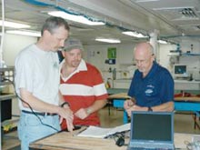
Multidisciplinary scientific research expeditions require a great deal of coordination and compromise, and for a project to run smoothly, a cooperative working relationship among scientific groups must develop during the planning process and be maintained throughout the cruise. The first scientific meeting of this cruise to explore habitats in the Northern Gulf of Mexico occurred while we were still docked at the Port of Panama City, Florida, so that one of the principal investigators, William Schroeder, could participate. William could not join the expedition, but collaborated with the team on shore to share his years of knowledge and experience, and all were eager to work with him to develop an itinerary that would satisfy all objectives.
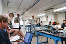
As we steamed to our first dive site to survey deep sea Lophelia coral banks, a shift schedule was developed for the projected near-24-hour ROV operations.

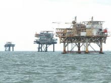
The Gulf of Mexico is peppered with thousands of oil platforms, and their frequency surprises those of us who have never been to this vast body of water that is so heavily utilized by the oil and gas industry. Click image for larger view.
Three groups of four will work in eight-hour shifts to monitor ROV surveys and sample collections, annotate video images collected during each dive, and to process and catalog samples collected during each dive. The shipboard Seabeam system will be utilized at most target locations to acquire multibeam data that will be processed on-site to develop two- and three-dimensional images of dive site bathymetry. This bathymetric data is critical for the determination of dive targets, and those on board with the expertise to work with this data are essential participants in developing a plan of action for each dive.
Stay tuned for our first ROV dive!


