Beyond the Blue: Johnston Atoll Mapping
(EX2405, EX2406)
Dates
August 19 - September 7, 2024
September 14 - October 10, 2024
Vessel
NOAA Ship Okeanos Explorer
Location
Pacific Ocean: Johnston Atoll
Primary goal
Increase mapping coverage in unexplored areas near Johnston Atoll within the Pacific Remote Islands Marine National Monument, with a focus on waters deeper than 200 meters (656 feet)
Primary technologies
Multibeam sonar
Expedition Summary
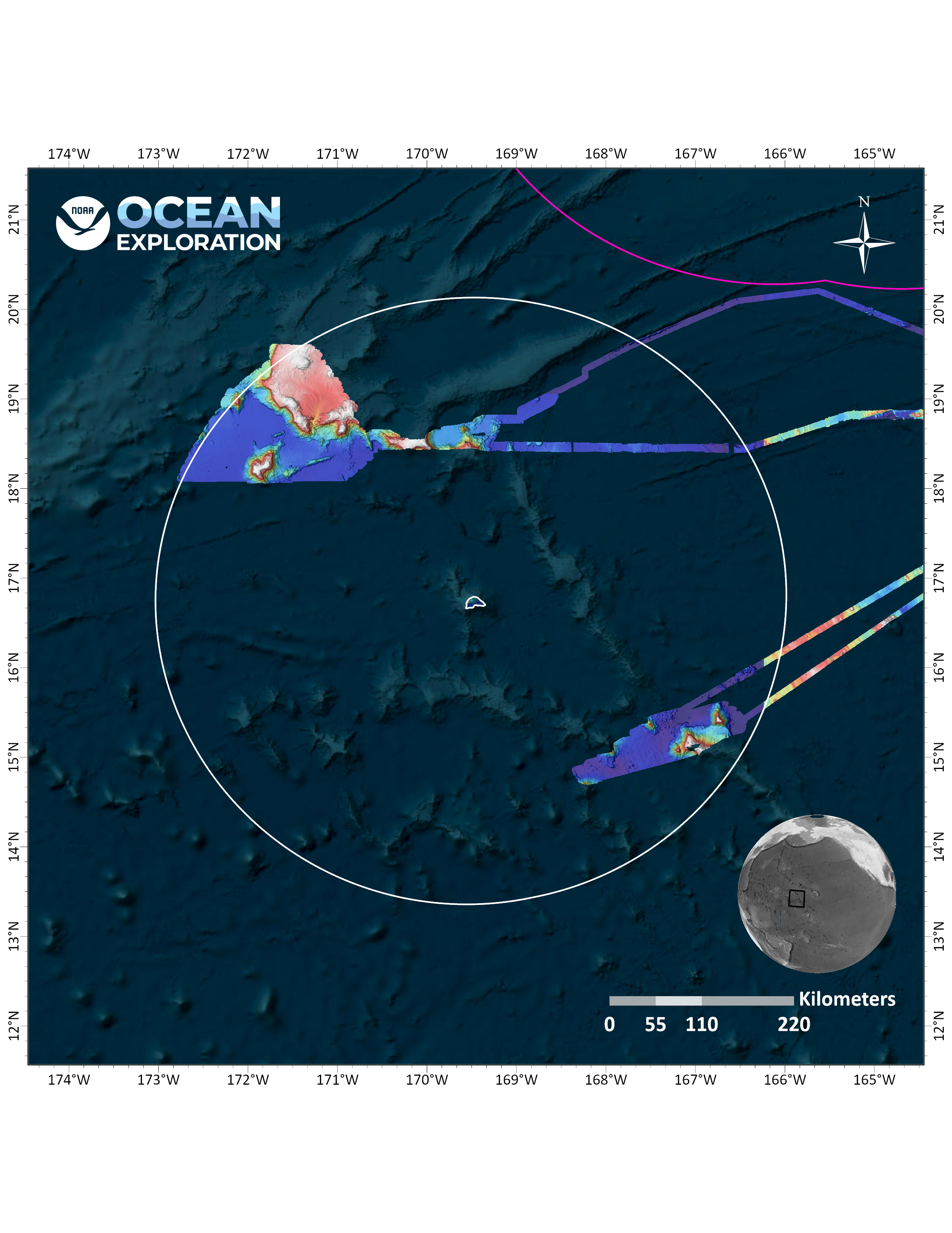
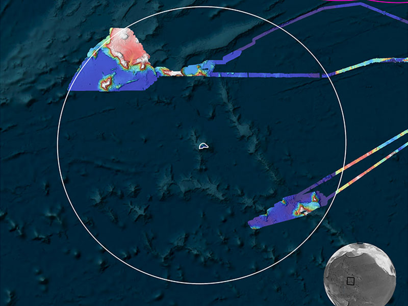
In August, September, and October, NOAA Ocean Exploration conducted two expeditions on NOAA Ship Okeanos Explorer to map waters deeper than 200 meters (656 feet) in and around the Johnston Atoll Unit of the Pacific Islands Heritage Marine National Monument, mapping a total of 43,840 square kilometers (16,927 square miles) of Johnston Atoll – covering 10% of the Johnston unit of the monument.
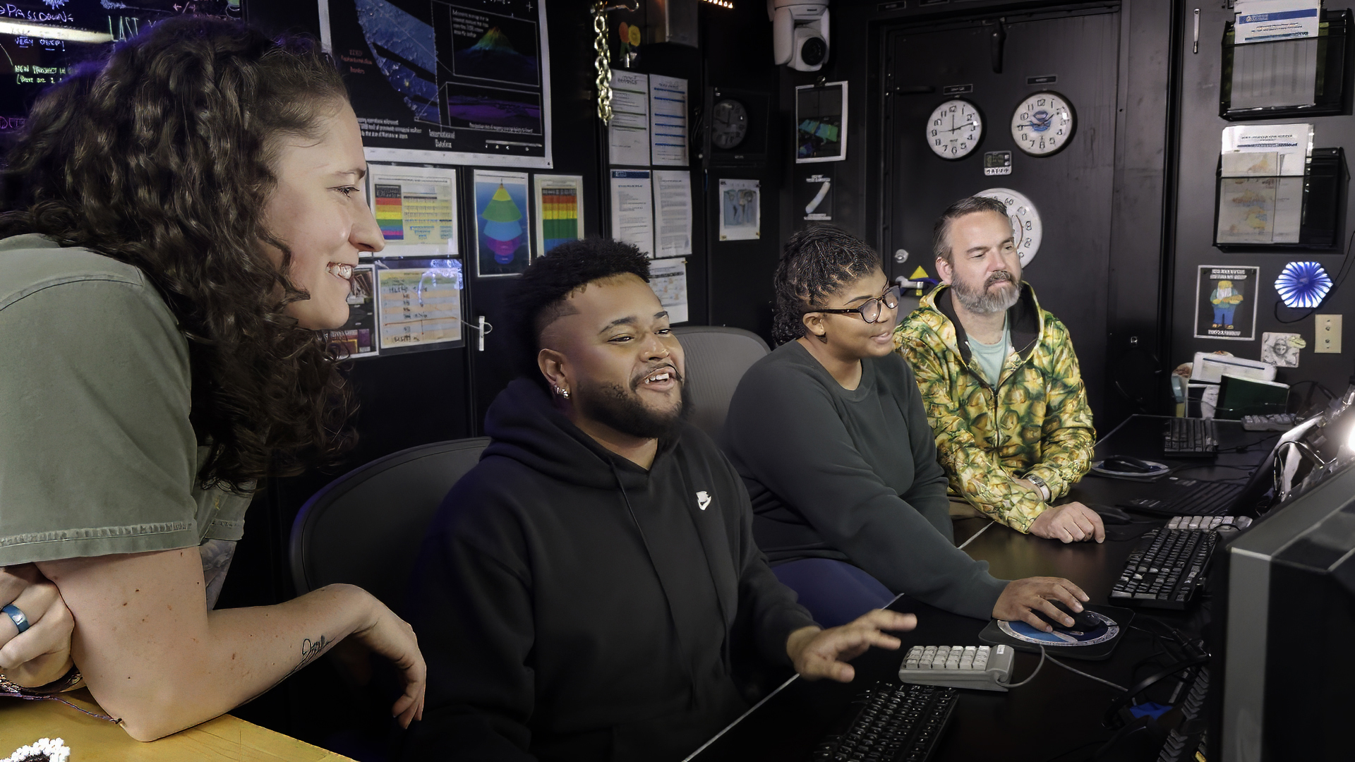
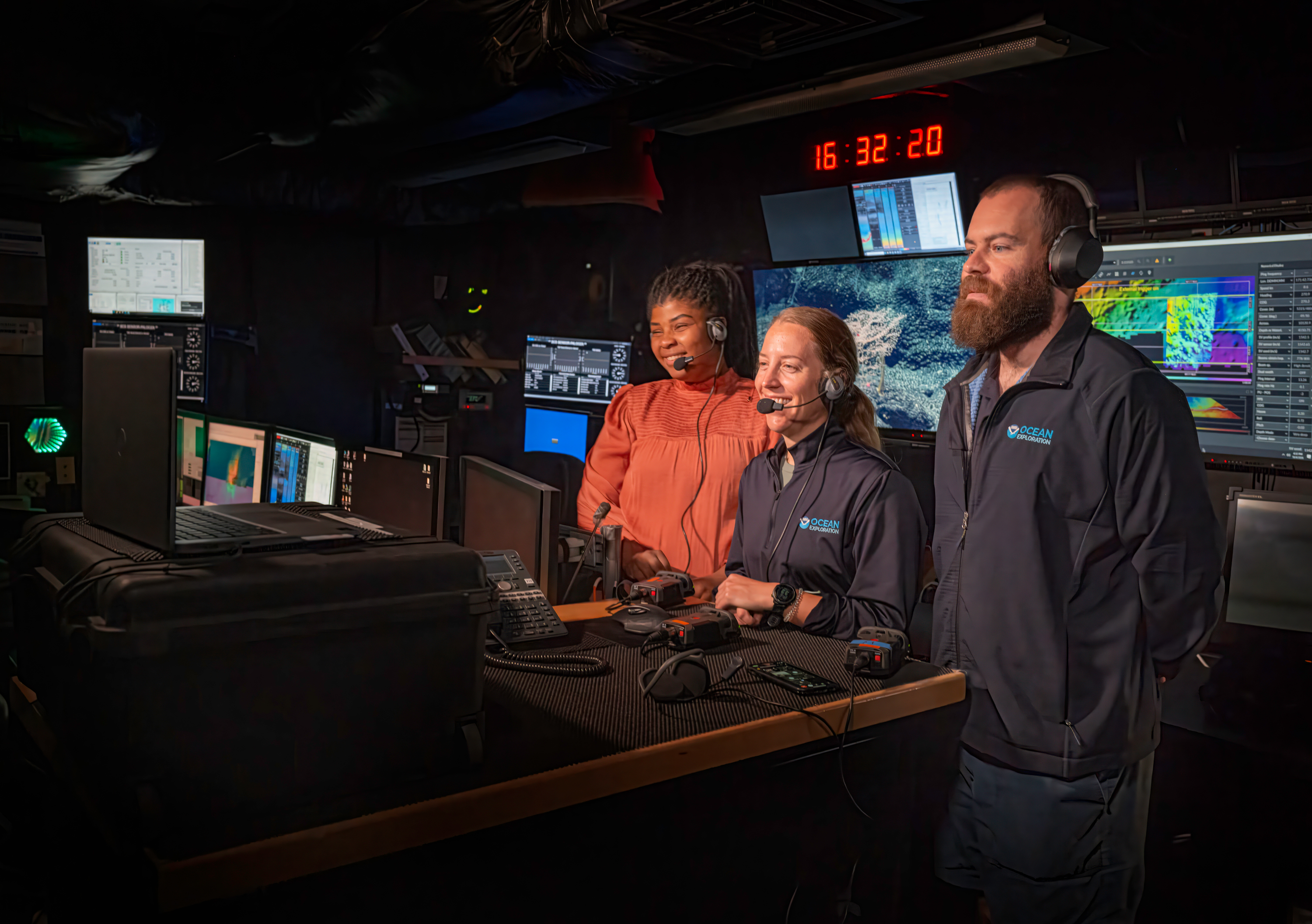
During both expeditions, the team conducted 24-hour-a-day exploratory mapping operations using the ship’s deepwater mapping systems, expendable bathythermographs (XBTs), conductivity, temperature, depth profiler (CTD) casts, and a high-bandwidth satellite connection for continuous ship-to-shore communications via telepresence. The team mapped more than 29,750 square kilometers (11,487 square miles) of seafloor in waters deeper than 200 meters (656 feet) were mapped, including 22,590 square kilometers (8,722 square miles) within the U.S. Exclusive Economic Zone (EEZ), during the first expedition. Bathymetry mapping coverage for the second expedition covered 49,044 square kilometers (18,936 square miles) in waters deeper than 200 meters (656 feet), including 32,873 square kilometers (12,692 square miles) within the U.S. EEZ.
Data collected during the two expeditions will support priority NOAA science and community management needs, helping to establish a baseline assessment of the ocean environment, increase understanding of marine life and habitats to inform management decisions, improve knowledge of past and potential future geohazards, and increase public awareness of ocean issues.
Images and Videos
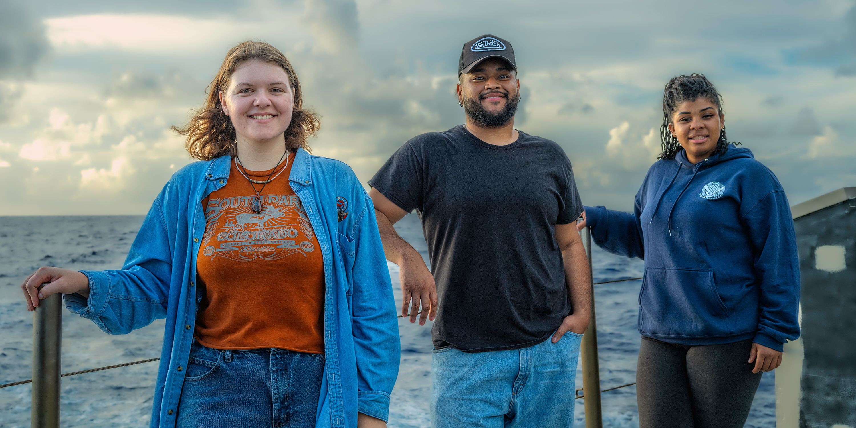


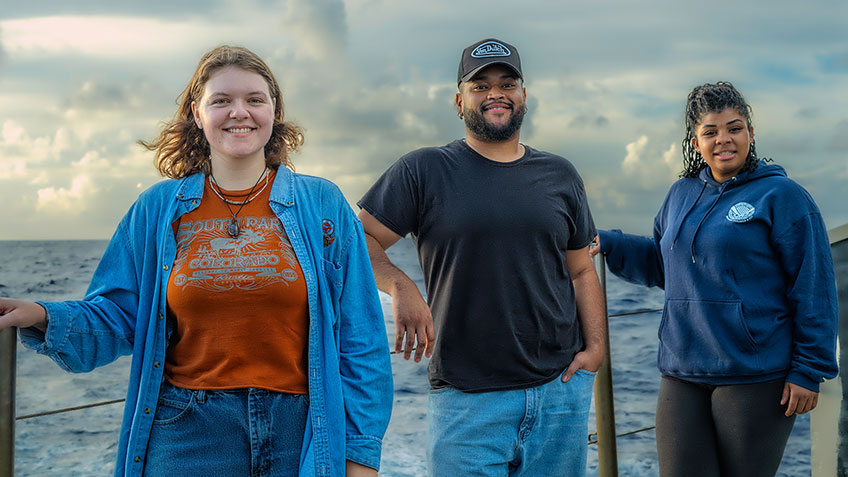
Meet the Explorers
Naming every participant in a telepresence-enabled expedition is next to impossible, as scientists from around the world have provided input into the expedition plan. However, we've gathered information about the members of the team who are sailing on the ship and participating in the expedition from sea - meet the team!

Thomas Morrow
Expedition Coordinator

Jessica Gwinn
Internship Program Coordinator

Danielle Warren
Mapping Watch Lead

Amanda Bittenger
Mapping Watch Lead

Gina Knox
Explorer-in-Training
Education Content
Education Theme pages provide the best of what the NOAA Ocean Exploration website has to offer to support your classroom during this expedition. On each theme page, you will find links to expedition features, lessons, multimedia, career information, and associated past expeditions.


Related Links
Expeditions
- NOAA Ship Okeanos Explorer: Beyond the Blue: Illuminating the Pacific
- Campaign to Address Pacific monument Science, Technology, and Ocean NEeds (CAPSTONE)
Technology
Media Contacts
Emily Crum
Communications Specialist
NOAA Ocean Exploration
ocean-explore-comms@noaa.gov
Keeley Belva
Public Affairs Officer
NOAA Office of Marine and Aviation Operations
keeley.belva@noaa.gov
For more information, visit the Media Resources page.
Expeditions conducted by NOAA Ocean Exploration as part of Beyond the Blue will contribute to the National Strategy for Exploring, Mapping, and Characterizing the United States Exclusive Economic Zone and Seabed 2030.
As appropriate, data collected during all expeditions will be available in NOAA’s public data archives within 90-120 days of its completion and will be accessible via the NOAA Ocean Exploration Data Atlas.
Published August 15, 2024
Last updated November 7, 2024