Beyond the Blue: Hawaiʻi Mapping
(EX2402)
Dates
May 14 - June 9, 2024
Vessel
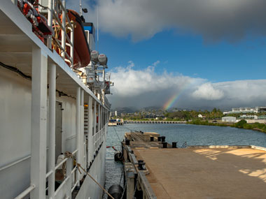
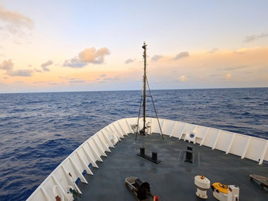
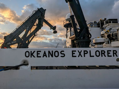
NOAA Ship Okeanos Explorer
Location
Pacific Waters: Around Hawaiʻi
Primary goal
Increase mapping coverage in unexplored areas surrounding the Hawaiian Islands, with a focus on waters deeper than 200 meters (656 feet)
Primary technologies
Multibeam sonar
Expedition Summary
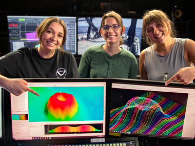
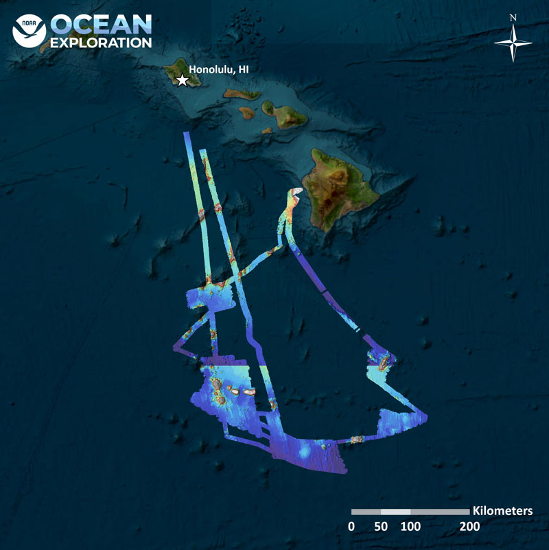
From May 14 - June 9, 2024, NOAA Ocean Exploration conducted Beyond the Blue: Hawaiʻi Mapping, a mapping expedition on NOAA Ship Okeanos Explorer in Hawaiian waters. Mapping operations during this 27-day expedition aided in closing bathymetry gaps to the south of the island of Hawaiʻi and resulted in the collection of approximately 41,435 square kilometers (16,000 square miles) of seafloor bathymetry in waters deeper than 200 meters (656 feet), including nearly 34,200 square kilometers (13,200 square miles) within the U.S Exclusive Economic Zone (EEZ).
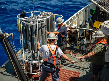
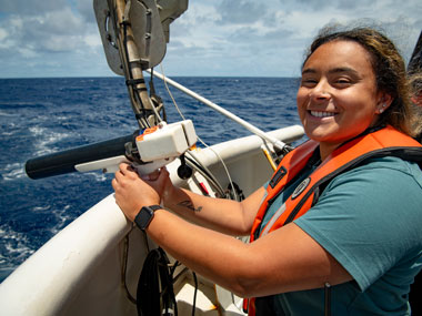
During mapping operations, NOAA Ocean Exploration simultaneously collected EM 304 multibeam sonar bathymetry observations and Simrad EK60/EK80 split-beam fisheries sonar observations of biologic material in the water column, as well as Knudsen 3260 sub-bottom profiler observations of sub-seafloor geologic structures and sediment. Focused multibeam backscatter surveys near the U.S. EEZ line targeted areas of interest for the U.S. Geological Survey. Several unnamed and unmapped seafloor features, including two seamounts and one guyot, were mapped by the team during the expedition, providing initial characterization of these sites that will support further evaluation and exploration. The team also conducted mapping over Newell Seamount, completing the mapping of this previously only partially mapped seamount. A full-profile conductivity, temperature, and depth (CTD) test was conducted to over 3,000 meters (1.86 miles) depth to validate the operability of all CTD systems for the remainder of 2024.
Representatives from the NOAA’s National Centers for Environmental Information and NOAA’s Office of Coast Survey joined the expedition, providing the opportunity for cross training and increased future collaboration across partners. Future Okeanos Explorer executive officer Lieutenant Commander Cherisa Friendlander and incoming commanding officer, Commander Tony Perry, were also on board for the first part of the expedition.
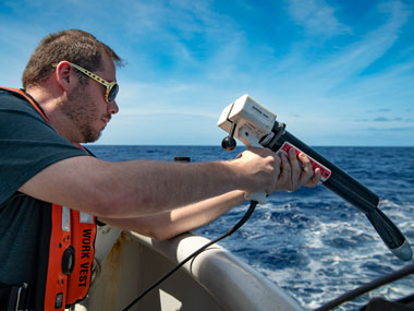
In support of education and outreach efforts, the on-ship team participated in a live Interaction with a fifth/sixth grade class from Guam Adventist Academy and styrofoam cups were shrunk during CTD casts to illustrate deep-ocean pressure in partnership with the NOAA Ocean Exploration Education Team.
Images
Meet the Explorers
Naming every participant in a telepresence-enabled expedition is next to impossible, as scientists from around the world have provided input into the expedition plan. However, we've gathered information about the members of the team who are sailing on the ship and participating in the expedition from sea - meet the team!

Sam Cuellar
Expedition Coordinator

Shannon Hoy
Expedition Coordinator

Treyson (Trey) Gillespie
Mapping Watch Lead
Education Content
Education Theme pages provide the best of what the NOAA Ocean Exploration website has to offer to support your classroom during this expedition. On each theme page, you will find links to expedition features, lessons, multimedia, career information, and associated past expeditions.
Related Links
Expeditions
- NOAA Ship Okeanos Explorer: Beyond the Blue: Illuminating the Pacific
- Campaign to Address Pacific monument Science, Technology, and Ocean NEeds (CAPSTONE)
Technology
Media Contacts
Emily Crum
Communications Specialist
NOAA Ocean Exploration
ocean-explore-comms@noaa.gov
Keeley Belva
Public Affairs Officer
NOAA Office of Marine and Aviation Operations
keeley.belva@noaa.gov
For more information, visit the Media Resources page.
Expeditions conducted by NOAA Ocean Exploration as part of Beyond the Blue will contribute to the National Strategy for Exploring, Mapping, and Characterizing the United States Exclusive Economic Zone and Seabed 2030.
As appropriate, data collected during all expeditions will be available in NOAA’s public data archives within 90-120 days of its completion and will be accessible via the NOAA Ocean Exploration Data Atlas.
Published July 9, 2024
