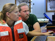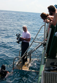
Principal Investigator Dr. J. M. Adovasio prepares to hand-off an underwater video camera to divers. Click image for larger view.
Mission Summary
July 23 – August 5, 2009
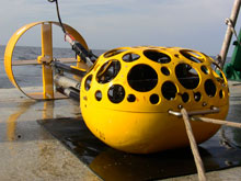
The total amount of data generated during our 2009 field season is both inspiring and daunting. We remotely surveyed 16 research sub areas and were able to directly scuba dive 16 locations in 11 of those areas. The remote-sensing survey data is comprised of over 150 gigabytes of electronic seafloor and sub-surface imagery that will take months to process and analyze. We also took several terabytes of underwater video and photographs.
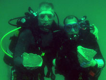
At several of the dive locations, we collected samples of sediment, limestone, coral, tubeworm, and chert (sedimentary rock). One interesting, and unforeseen, result of utilizing a combined side scan sonar and sub-bottom profiler is that we may be able to (remotely) distinguish between coral and tubeworm bioherm (mounds of material laid down by sedentary marine organisms) communities covering landscape features that are of archaeological interest.
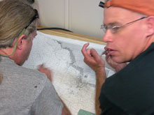
One of our primary objectives in 2009 was to locate as much of the relict (from an earlier era) Suwannee River channel as possible and to determine if it contains preserved sediments from the Pleistocene. This year, we located the Suwannee channel in nine places and added 160 kilometers (99 miles) to the known length of the river. Further, we traced the Paleo St. Marks/Aucilla River channel nearly 50 km (31 miles) from the modern coast along the east side of the Oklocknee Shoal.
We tentatively think the St. Marks/Aucilla system intersects the Suwannee at the southeastern edge of the Florida Middle Grounds, though we need to collect more data to demonstrate that they connect. If the site we named Thor’s Elbow (and dove in 37 meters/130 feet of water) is, in fact, the intersection of these two important river systems, we have great hopes that beneath the thick layer of modern silt we will find an Early Paleoindian site along the intact river sediments from the Pleistocene. Considering how much of the inland Paleoindian archaeological record of Florida comes from these rivers, it is not unreasonable to expect similarly intense use of these same rivers closer to the Pleistocene shoreline.
For two years now we have attempted to find locations on the underwater landscape where people lived near the end of the Pleistocene and to rediscover these sites using state-of- the- art archaeological technology and methods. We found three locations where exposed bedrock chert (suitable for making stone tools) is poking up through the sandy ocean bottom. These locations are immediately adjacent to the buried and intact Pleistocene Suwannee River channel. We excitedly anticipate returning to these sites with a dredge capable of quickly lifting the sand so we can actually see the layers of strata shown in our sub-bottom profile data.
Many places in modern Florida contain major archaeological sites where freshwater and chert are available in the same spot. In the future, we hope to duplicate such finds at locations we discovered during our systematic investigation of this submerged landscape in 2009.
Sign up for the Ocean Explorer E-mail Update List.


