
Below you will find a collection of fact sheets, content essays, and stories from our explorers on board seafloor mapping expeditions featured on the OceanExplorer.NOAA.gov website.
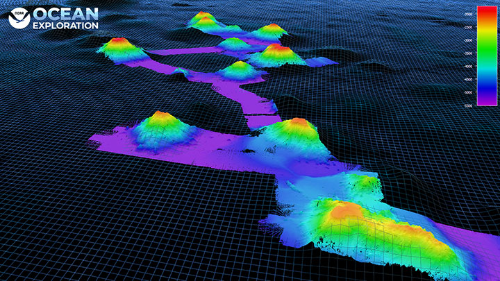
Fact Sheet. A map is a flat model of all or part of Earth’s surface drawn to a specific scale. The better maps communicate information, the more effective they are as real-world models. Bathymetric maps show depths of landforms below sea level.
Read more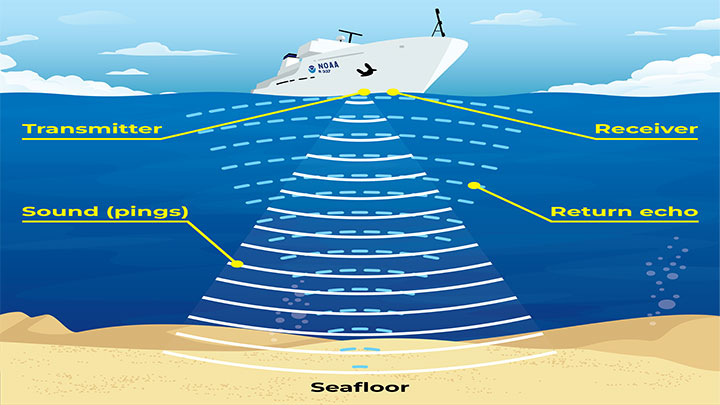
Fact Sheet. SONAR, short for SOund NAvigation and Ranging, is a tool used to explore the ocean and locate objects underwater. Scientists use modern sonar technologies to develop nautical charts, locate underwater hazards for navigation, search for and identify objects in the water column or on the seafloor, and to map the seafloor itself.
Read more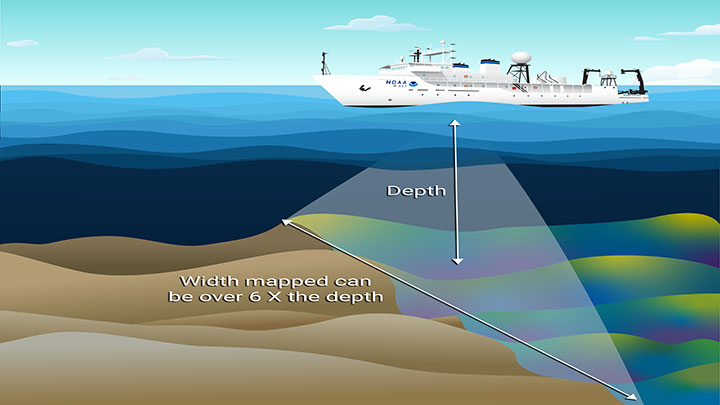
Fact Sheet. Multibeam Sonar is one of the most powerful tools available for modern deep-sea exploration and mapping. It allows for the creation of detailed 3D bathymetric maps of seafloor features like underwater volcanoes, canyons, trenches and more.
Read more
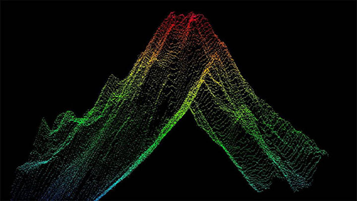
Exploration Note. During remotely operated vehicle (ROV) expeditions on the NOAA Ship Okeanos Explorer seafloor mapping using multibeam sonar happens overnight, while ROV dives take place during the day. Knowing the depth and shape of the seafloor is essential for safe and successful ROV operations.
Read more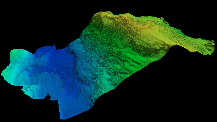
From the 2021 North Atlantic Stepping Stones: New England and Corner Rise Seamounts expedition. NOAA Ship Okeanos Explorer has remote mapping capabilities which allows explorers to participate in expeditions from shore. Learn more from Explorer-in-Training intern Marcel Peliks about what it is like to participate in mapping operations from home!
Read more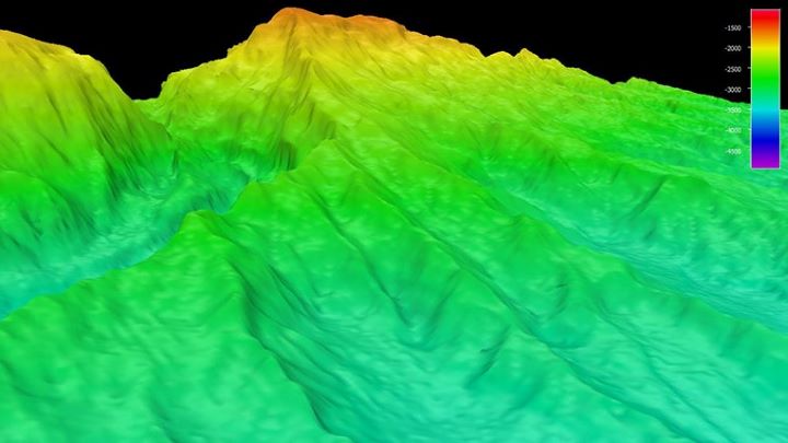
Ocean Exploration Fact. Topographic maps show elevation of landforms above sea level; bathymetric maps show depths of landforms below sea level.
Read more
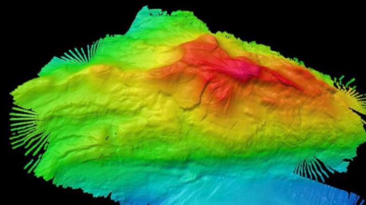
Ocean Exploration Fact. While the entire seafloor has been mapped using data collected from satellites, these data provide only a general picture of what’s there. Seafloor mapping provides a detailed picture of features that lie deep below the ocean’s surface. A significant amount of the seafloor remains unmapped at high resolution.
Read more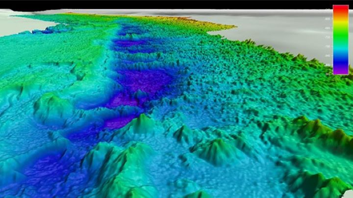
News Story. Using multibeam sonar, NOAA scientists and partners look for the geographic limits of the “Million Mounds” coral zone off the Southeast Coast of the United States in order to better protect it from things such as crab pots and bottom-trawling nets which could damage the coral.
Read more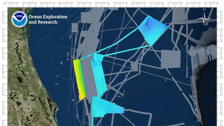
From the Windows to the Deep 2019 Expedition. NOAA Ocean Exploration is committed to mapping deep water areas of the U.S. Exclusive Economic Zone (EEZ). The Windows to the Deep 2019 expedition mapped several key areas off the southeastern coast of the United States in support of this mission.
Read more
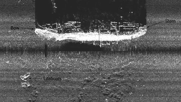
Exploration Tool. SONAR, short for SOund NAvigation and Ranging, is a tool that uses sound waves to explore the ocean. Sonar is used for oceanography because sound waves travel farther in the water than radar and light waves can.
Read more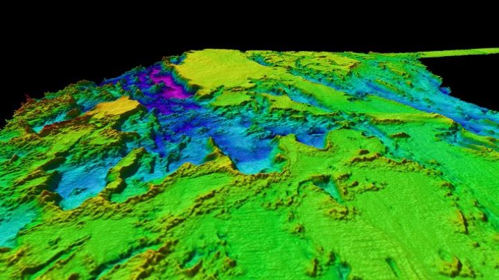
Exploration Tool. A multibeam sonar survey is often one of the first steps in exploring a new area. Multibeam sonar sends out multiple, simultaneous sonar beams (or sound waves) at once in a fan-shaped pattern to collect seafloor depth and backscatter measurements.
Read more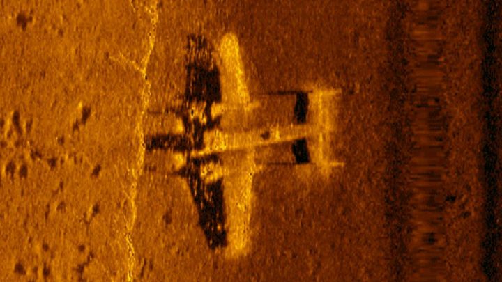
Exploration Tool. Side scan sonar is a category of active sonar system for detecting and imaging objects on the seafloor. This system is often used to map cultural heritage sites like shipwrecks, to characterize the makeup of the seafloor, and can even help biologists identify habitats of marine animals.
Read moreThe above items are only a selection of the educational materials highlighting seafloor mapping on our website.
View More