By Kasey Cantwell - Web Coordinator
May 23, 2015

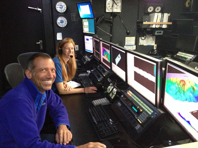
Explorers-in-Training Mike Barber and Kate von Krusenstiern process data in the control room while we transit through the Mexican Exclusive Economic Zone. Image courtesy of NOAA Office of Ocean Exploration and Research. Download larger version (jpg, 400 KB).
When planning for this expedition began several months ago, one of the first things on Expedition Coordinator Lindsay Mckenna’s To-Do list was to start the permitting process. The planned cruise track would transit through several countries’ Exclusive Economic Zones, or EEZs, and we would need permission to collect data in these areas. We eventually received all of the permits we applied for, sometimes only a few days before we entered their territory.

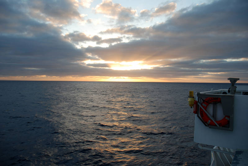
Sunset onboard NOAA Ship Okeanos Explorer as we head north for our emergency dry dock repair period. Image courtesy of NOAA Office of Ocean Exploration and Research. Download larger version (jpg, 1.0 MB).
When planning for this expedition began several months ago, one of the first things on Expedition Coordinator Lindsay Mckenna’s To-Do list was to start the permitting process. The planned cruise track would transit through several countries’ Exclusive Economic Zones, or EEZs, and we would need permission to collect data in these areas. We eventually received all of the permits we applied for, sometimes only a few days before we entered their territory.
Unfortunately, as we turned north to head to the U.S. west coast for our dry dock period, we had a new cruise track to account for that would cross different EEZs. The fastest track back to the mainland U.S. has so far taken us through the waters of Panama, Costa Rica, and Mexico. We were able to collect data in Panama’s and Costa Rica’s EEZs and in international waters, but we do not have permits to collect data in Mexico’s EEZ, as our original track was several hundred miles from Mexico at its closest point.
At 0200 this morning, NOAA Ship Okeanos Explorer secured all sonars and data collection systems as we entered Mexico’s EEZ. Scientific systems will be secured for the next four to five days, depending on our transit speed. Our team will spend the next couple of days processing and cleaning data, updating standard operating procedures, and working on intern projects.
We don’t have any new information about where exactly we are headed for dry dock, so for now we are heading north as quickly as possible.