Beyond the Blue: Papahānaumokuākea ROV and Mapping
April 8-May 5, 2025
From April 8-May 5, NOAA Ocean Exploration will lead a 28-day remotely operated vehicle (ROV) and mapping expedition on NOAA Ship Okeanos Explorer to explore deep waters in and around Papahānaumokuākea. During the expedition, the team will work to fill gaps in our understanding of the region by conducting focused mapping and ROV operations in waters deeper than 200 meters (656 feet).
All things permitting, when the ship is not in transit, dives will be streamed most days, April 11 to May 2, from approximately 7 a.m. to 5 p.m. HDT / 1 p.m. to 11 p.m. EDT. Note that dates and times are subject to change. Over the course of the expedition, we expect to dive and explore deep-sea coral and sponge habitats, seamounts, maritime heritage sites, and the water column.


Use of the livestreams is an important component of NOAA Ship Okeanos Explorer’s mission. Depending on the exploration and operations at hand, content and availability of the video feeds will change. All video courtesy of NOAA Ocean Exploration.
All views and opinions expressed in this video feed are those of the speaker and are not attributable to the National Oceanic and Atmospheric Administration or other federal agency.
What Are You Seeing?
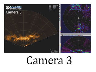
When the Okeanos Explorer is underway on an expedition, this page will broadcast streams from the ship. What is being shown on the different video streams may change depending on the exploration and operations at hand.
Note that occassionally on the feeds, you will see two red dots – these laser points are 10 centimeters (almost four inches) apart and are used by scientists to determine the sizes of things that they are seeing.
Live Track/Current Position Map
Map data courtesy of NOAA's National Centers for Environmental Information (NCEI).
Dive Plan
April 17, 2025: Solide Seamount
Today’s dive will take place on a southwestern ridge on Solide Seamount. The ridge borders a steep wall that likely formed by slumping of the guyot’s cap carbonates. The goal of this dive is to investigate the biological and habitat diversity of ridge arms below the guyot summit and characterize the habitat transitions along this feature while moving from a starting depth of 1,280 meters (4,200 feet) towards the guyot’s summit, at a depth of approximately 1,100 meters (3,610 feet). Throughout the dive, we will document corals, sponges, fish, and other marine life and keep an eye out for ecological associates of key habitat builders. We will also collect geological samples, including sediments, and environmental DNA (eDNA) water samples to characterize the geology and ecology of the seamount.
Approximate ROV launch: 8:30 a.m. HST / 2:30 p.m. EDT
Approximate bottom arrival time: 9:10 a.m. HST / 3:10 p.m. EDT
Approximate bottom departure time: 3:40 p.m. HST / 9:40 p.m. EDT
Note that this is a tentative plan and is subject to change before or during the dive.