
Naming every expedition participant in a telepresence-enabled mission is next to impossible! Many from dozens of institutions across the country have provided input into the expedition plan and are expected to participate. However, we've assembled information about the members of the team who are physically onboard NOAA Ship Okeanos Explorer.
And of course, none of this exploration would be possible without the work of the dedicated NOAA Commissioned Officer Corps and civilians who operate NOAA Ship Okeanos Explorer as part of NOAA's fleet managed by NOAA's Office of Marine and Aviation.
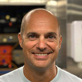
Physical Scientist, NOAA's Office of Coast Survey, REMUS 600 AUV Team
Mike has been with NOAA for 25 years and is currently the Technical Advisor for the Navigation Response Branch within Navigation Services Division of NOAA's Office of Coast Survey. His career in NOAA started in 1994 as an assistant survey technician aboard NOAA Ship Mt. Mitchell. He then joined the Atlantic Hydrographic Field Party, and then moved to a rotating hydrographer position with Atlantic Hydrographic Branch. Mike moved onto a position in the Coast Survey Development Lab in 1999, and finally arrived at his current position in 2016.
Currently, Mike is focusing on autonomous systems use with the Navigation Response Teams.
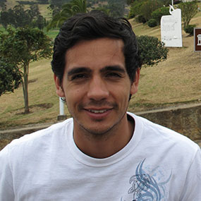
Global Foundation for Ocean Exploration
Fernando graduated from the University of Hawaii at Manoa with a B.S. in Mechanical Engineering. During his studies, he had experience in several fields including conceptual design, aerospace research, mechanical design, robotics and software development. From these activities he was able to intern for NASA at the Jet Propulsion Laboratory, present research in a national conference, and even coauthor a technical paper in the Journal of the Astronautical Sciences. His most recent position was at the Field Robotics Laboratory (FRL) where he helped support operations, testing and software development for two unmanned surface vehicles. From his time in FRL, he discovered a true passion for development and design of robotic systems. Originally from Colombia, Fernando enjoys outdoor activities and currently resides in State College, Pennsylvania.
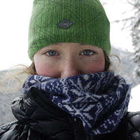
Mapping Watch Lead
Neah Baechler is a contract hydrographer and marine geologist specializing in deep-sea exploration mapping. After graduating with a B.S. in Geology from the College of Charleston in 2015, the Okeanos Explorer-In-Training program brought Neah aboard as an intern, and she’s been mapping aboard NOAA Ship Okeanos Explorer ever since. Now the owner and operator of Abyss Hydrographic Mapping, Neah works with a variety of science-focused exploration vessels worldwide to grow the collective understanding of oceanographic processes and expand existing bathymetric maps. Discovery-driven mapping like that done aboard the Okeanos Explorer is not only Neah’s bread and butter, it’s her reason for getting up in the morning (those sunsets over the open ocean don’t hurt either). She’s passionate about the environment and believes that through studying the ocean, we can broaden and deepen our understanding of the planet as a whole. Supporting the Okeanos Explorer’s mission, particularly on remotely operated vehicle (ROV) cruises when a bathymetric map collected and processed overnight can lead to incredible discoveries during an ROV dive the next day, is truly exhilarating for Neah.
When she’s not at sea, Neah is sipping tea and working on various art projects in her Portland, Oregon, home.
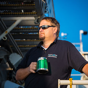
Electronic Systems Engineer
Global Foundation for Ocean Exploration
Roland Brian brings 29 years of experience and a keen eye for precision HD video to the program as a video/satellite and telepresence engineer. Roland began his career in the U.S. Air Force where he worked as a Satellite Communications Engineering Technician with visions of working on the U.S. Space Station. He traded in that quest for one of deep-ocean exploration and sharing beautiful imagery with the world. He has worked with the NOAA Office of Ocean Exploration and Research (OER) and the Okeanos Explorer Program since 2009 and has been engaged in every telepresence-enabled remotely operated vehicle (ROV) expedition. He has also provided services for other projects using OER’s mobile telepresence system, including the 2012 Ring of Fire Expedition. His duties aboard NOAA Ship Okeanos Explorer include operation and maintenance of the ship's Telepresence and video systems, including on ROV Deep Discoverer and the Seirios camera platform. Again, Roland’s experience embodies the breadth and depth of knowledge the OER program encourages. When not fine-tuning the video and telepresence systems or training and mentoring new team members, he's actively involved in the editing process of our ever-expanding ocean exploration video library. While not at sea, Roland enjoys life with his wife and family in sunny Sarasota, Florida.
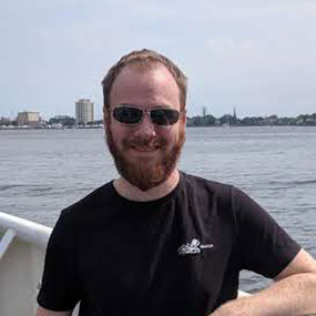
Sonar Survey Technician, Kraken Robotics
Brian studied at the Fisheries and Marine Institute of Memorial University of Newfoundland, Canada, from 2010 to 2014 where he received his diploma in Ocean Mapping and a Bachelor of Ocean Technology. He has been working with Kraken Robotic Systems, Inc. as a Sonar Survey Technician for the past five years, utilizing ultra-high resolution synthetic aperture sonar (SAS) through various expeditions, including the "Raise the Arrow" project in 2017. Within the company, he is involved in mission planning, data acquisition using towed and autonomous underwater vehicles, and data analysis. Brian currently resides in St. John's, Newfoundland.
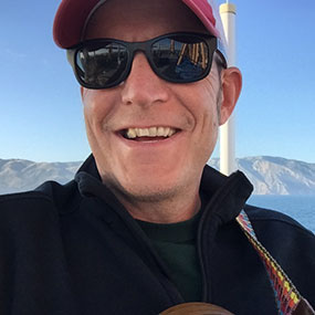
NOAA's Office of Coast Survey, Development Laboratory, REMUS 600 AUV Team
Rob, despite his apparent youth, has over 30 years of experience working with marine technology, beginning with his enlistment in the U.S. Coast Guard in 1986. During his time in the Coast Guard, Rob served as a sonar technician aboard the Coast Guard Cutter Hamilton and as a watch supervisor at the Vessel Traffic Service (VTS) in San Francisco. Rob’s love for the Bay Area led him to leave the Coast Guard after 10 years and remain at the VTS in San Francisco as a contract system and database administrator.
In September 1999, when his desire to own a home outweighed his love for the Bay Area, Rob brought his background in sonar systems, navigation safety, and information technology to NOAA’s Coast Survey Development Laboratory in Silver Spring, Maryland. Initially he supervised the administration of the hydrographic survey fleet’s Unix application and file servers. In 2002, Rob coordinated the upgrade of the fleet’s data storage infrastructure and transition to Network Attached Storage. Since 2004, Rob has been the lead for Coast Survey’s unmanned systems projects, including the testing, evaluation, and transition of shallow and deep water Autonomous Underwater Vehicles (AUVs) and Unmanned Surface Vehicles (USVs).
Currently he is managing NOAA's efforts to integrate autonomous control systems in traditionally crewed hydrographic survey launches. Following the integration, the Autonomous Hydrographic Survey Launches (AHSLs) can perform seafloor-mapping surveys as either manned or unmanned vessels.
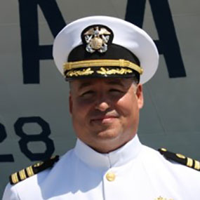
NOAA Office of Marine and Aviation Operations, Program Planning and Management Division
Since the end of January 2018, CDR Dreflak has served in the NOAA Office of Marine and Aviation Operations (OMAO) - Program Planning and Management Division, working on initiatives involving Unmanned Marine Systems (UMS), performance metrics, and strategic planning. Prior to his current assignment, he was Commanding Officer of NOAA Ship Reuben Lasker, NOAA’s newest and most advanced research vessel. CDR Dreflak has served as Chief of Staff for the National Marine Fisheries Service (NMFS) Pacific Islands Regional Office at the Inouye Regional Center in Honolulu, Hawaii, and Executive Officer of the NMFS Office of Science and Technology in Silver Spring, Maryland. In previous sea assignments, CDR Dreflak successfully completed two years as the Commanding Officer of NOAA Ship Oscar Elton Sette, as well as serving as Junior Officer on board NOAA Ship Delaware II and Operations Officer and Executive Officer on board NOAA Ship Oscar Elton Sette. He has also completed assignments as GIS Coordinator for NMFS Southwest Region in Santa Rosa, California, and Chief of Port Operations/Port Captain in Honolulu, Hawaii. CDR Dreflak earned a Bachelor of Science degree in Geology from the University of California, Davis, and a Master of Science degree in Environmental Management from the University of San Francisco. During the expedition, CDR Dreflak will be the OMAO UMS representative working to evaluate and assist with operations.
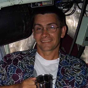
NOAA's National Center for Environmental Information
Dr. Barry Eakins is a marine geophysicist with the Cooperative Institute for Research in Environmental Sciences, University of Colorado at Boulder (CU), and Chief Scientist for the Coastal and Marine Geophysics Branch of NOAA’s National Centers for Environmental Information (NCEI). His current research efforts focus on analyzing seafloor morphology and researching geologic processes in support of the U.S. Extended Continental (ECS) Shelf Project and developing the documentation necessary to demonstrate U.S. ECS limits in accordance with the U.N. Convention on the Law of the Sea. He also oversees data management activities at NCEI for the NOAA Office of Ocean Exploration and Research. He served six years in the U.S. Navy, specializing in oceanography and anti-submarine warfare, before obtaining a B.A. in Geology from CU and a Ph.D. in Earth Sciences from Scripps Institution of Oceanography.
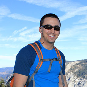
Team Lead, National Response Team 1
LT John Kidd recently became the Team Lead for the National Response Team 1 (NRT1) at Stennis Space Center in Mississippi where he will manage NOAA’s autonomous assets and a team of scientists which are regularly deployed for post-hurricane response missions to insure the safety of navigation in U.S. ports and harbors along the Gulf of Mexico.
He earned his undergraduate degree in Ocean Earth and Atmospheric Sciences from Old Dominion University in Norfolk, Virginia. He then started his NOAA carrier as an Earth Resources Technology intern working at the Atlantic Hydrographic Branch compiling surveys and also sailing aboard the NOAA Ship Thomas Jeffersonas a survey tech. After being commissioned as a NOAA Corps officer in July 2011, he reported to NOAA Ship Rainier and sailed for two field seasons in southeast and southwest Alaska as a junior officer. In 2013, he reported to NOAA Ship Ferdinand R. Hassler and served as the Navigation Officer. From there, he became a full-time student at the University of New Hampshire and received a master's degree in Ocean Mapping. He then reported back to the Ferdinand R. Hassler as the Operations Officer and completed two field seasons mapping along the east coast. In his new position as the team lead of NRT1, he will take ownership of the REMUS 600 AUV, along with all other NOAA autonomous assets. He is excited to utilize the AUV as part of the current technology demonstration to collect high-resolution bathymetry over targets of interest along the continental shelf.
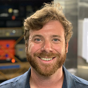
Physical Science Technician, NOAA's Office of Coast Survey, REMUS 600 AUV Team
Alex Ligon started with NOAA as an assistant survey technician on board NOAA Ship Thomas Jefferson in 2013. He served on board until 2017, leaving as a Senior Survey Technician. He then joined the Office of Coast Survey's Navigation Response Branch (NRB) as a crew member with Navigation Response Team-Stennis Space Center whose mission is focused on emergency response to areas affected by natural disasters, to conduct hydrographic surveys in an effort help reopen ports and harbors.
While with NRT-Stennis, Alex Ligon has also focused on unmanned system testing and operations with autonomous surface and underwater vehicles.
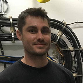
Director, Seabed Systems Group, ThayerMahan, Inc.
Steve is deploying aboard Okeanos Explorer as mission commander, pilot, engineer and sonar operator for the SeaScout/Katfish survey team. He is currently the Seabed Systems Program Director at ThayerMahan, focusing on maritime security and marine robotics.
Steve commissioned from the United States Naval Academy in 2010 and served five years as a Naval Special Operations Officer. While active duty, he led teams conducting underwater mine clearance operations and counter WMD training in over a dozen countries. Directly after leaving the service, he simultaneously pursued advanced degrees in mechanical engineering and business administration from the Massachusetts Institute of Technology. Prior to continuing his work with maritime operations, he developed a predictive algorithm for natural gas infrastructure damage, a medical device for calibrating cancer treatment equipment, and a cooling system for first responders operating in contaminated environments.
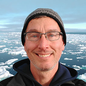
Center for Coastal and Ocean Mapping at the University of New Hampshire
Tony Lyons has been at the Center for Coastal and Ocean Mapping at the University of New Hampshire since 2015. After receiving his PhD in Oceanography from Texas A&M University in 1995, Tony worked in the Fine-Scale Acoustics and Oceanography Group at the SACLANT Undersea Research Centre, La Spezia, Italy, where he was involved in a variety of projects in the area of environmental acoustics. Previous to taking his position at the University of New Hampshire, Tony was a Senior Scientist at the Applied Research Laboratory at Penn State and a Professor of Acoustics in Penn State’s Graduate Program in Acoustics. He also worked for short periods in 2008 and 2014 for the U.S. Office of Naval Research Global. His research projects have included studies of shallow-water acoustic propagation, acoustic interaction with the seafloor and sea ice, characterization of seafloor sediments, and high-resolution oceanographic measurements. Tony was awarded, with the recommendation of the Acoustical Society of America, the Institute of Acoustics' (U.K.) A.B. Wood Medal in 2003. He is a Fellow of the Acoustical Society of America (2007) and a member of the IEEE Oceanic Engineering Society. He is also currently an Associate Editor for the Journal of the Acoustical Society of America.
University of Rhode Island
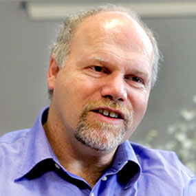
Rod Mather is professor and chair of history and underwater archaeology and the University of Rhode Island (URI). He is also a senior fellow of the Coastal Institute at URI and is director of the archaeology and anthropology graduate program. His research includes studying submerged cultural landscapes and shipwrecks around the world, including Revolutionary War ships in Narragansett Bay, the USS Monitor off the coast of North Carolina, the shipwrecks of Bermuda, and a fleet of German World War I ships in the Atlantic Canyons off Virginia. In 2014, he served on the Bureau of Ocean Energy Management’s Outer Continental Shelf Scientific Committee, where he provided unique expertise regarding energy exploration and development activities on the outer continental shelf. Previously, he directed the archaeological aspects of NOAA’s Atlantic Deepwater Canyons Project, focusing on the discovery, identification, and assessment of submerged historic and pre-contact sites. Dr. Mather received his B.A. from Leeds University in 1986 and his M.A. from East Carolina University in 1990. He was awarded his doctorate from New College, Oxford University, England in 1996. Rod will lead the archaeological planning onboard.
Systems/Robotics Engineer
Global Foundation for Ocean Exploration
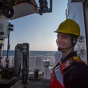
Bobby Mohr is a Systems/Robotics Engineer, specializing in autonomous and remotely operated underwater vehicles. He holds a B.S. in physics and graduated cum laude from Davidson College in 2009. Bobby started his career as an engineering technician with Greensea Systems where he was responsible for the design, development, and testing of autonomous underwater vehicle control systems. Like many of our engineers, Bobby realized that he would enjoy the design-build process more if he was able to also pursue the challenges of making vehicles work successfully at sea.
After serving on several projects at Greensea where he specialized in electrical and software systems support, Bobby joined the Ocean Exploration program as an electrical systems engineer. During his time at Greensea and now with NOAA, he has been one of the key electrical engineers on the development of our 6000-meter-rated remotely operated vehicle system, Deep Discoverer and Seirios. Like many of our engineers, he has multiple skills and is a tremendous asset to our program.
Mechanical Engineer
Global Foundation for Ocean Exploration
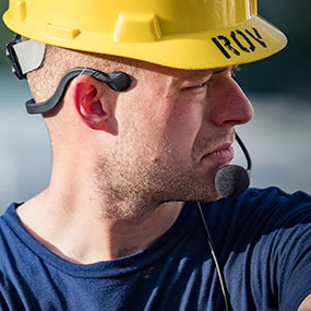
Daniel Rogers brings with him a diverse background in engineering, media production, and education. Daniel holds a B.S. in physics and received an M.S. in mechanical engineering from the University of Hawaii in 2013. His graduate work focused on the development and evaluation of an autonomous marine vessel designed for port and harbor security missions. Before starting his graduate program, Daniel worked as a science educator at the Bishop Museum in Honolulu where he continued as a digital media producer while in school. A lifelong interest in the sciences inspires him to learn all he can about the natural world and he is passionate about sharing the drama and wonder of scientific inquiry with others.
Mechanical Engineer, ThayerMahan, Inc.
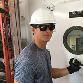
Welles is deploying aboard Okeanos Explorer as a SeaScout/Katfish pilot, engineer, and sonar operator. Since February 2019, he has been helping revolutionize maritime security with the ThayerMahan team, serving in the Seabed Systems Group.
Welles received his bachelor’s degree in mechanical engineering at Johns Hopkins University and his master’s degree in mechanical engineering from Rensselaer Polytechnic Institute, with a concentration in energy. Welles also helped invent a tamper-resistant pill dispenser during his time at Johns Hopkins, to control prescription drug abuse and misuse. While employed at General Dynamics Electric Boat, he performed non-linear Finite Element Analysis on assemblies of submarine structures, worked on process improvement with developing analysis procedures, and analyzed both small- and large-scale models for design development.
Producer
Global Foundation for Ocean Exploration
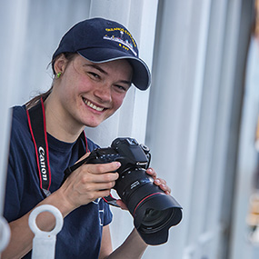
Tara Smithee has been sailing on Okeanos Explorer expeditions since 2012 as a producer, editor, and ROV camera operator. She holds a Masters in Ocean Systems from Stanford University and is pursuing a second Masters in Science and Natural History Filmmaking from Montana State University. Tara has a tremendous interest in science and exploration and amazement for the natural world. She is an avid scuba diver and one of her most treasured marine memories was swimming with dolphins in the wild. When not at sea, she enjoys dancing and writing in Portland, Oregon.
Software Developer, Kraken Robotics
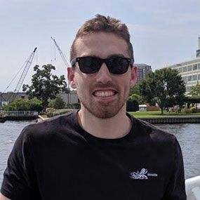
Tristan Strong is a software developer for the Kraken KATFISH intelligent towed SAS system. No ordinary software developer, Tristan can be found at sea during KATFISH operations where his responsibilities exceed coding on the open water; from general operations to training operators in the KATFISH system. His relationship with the extraordinary extends to his passion for astrophysics, the great outdoors, and international travel.
Tristan holds a Bachelor and Masters of Engineering from Memorial University of Newfoundland, and resides in his hometown of St. John's, Newfoundland and Labrador, Canada on the east coast of North America.
Expedition Coordinator
NOAA Office of Ocean Exploration and Research
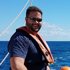
A native of Long Island, New York, Mike took a deep interest in ocean science at a young, age growing up in and on the water. After graduating from SUNY Geneseo with a degree in geological sciences, Mike continued his education at the School of Marine and Atmospheric Sciences at Stony Brook University. After completing a graduate certificate in geospatial science and earning a reputation as a reliable field scientist, Mike started a new position as a hydrographic analyst with NOAA’s Integrated Ocean and Coastal mapping team at the Center for Coastal and Ocean Mapping (CCOM) at the University of New Hampshire. Mike joined the NOAA Office of Ocean Exploration and Research mapping team in 2016 and has lead deep-sea mapping teams in the south Pacific, Hawaii, Gulf of Mexico, Carribbean, and Northern Atlantic. On the 2019 Technology Demonstration, Mike will serve as overall expedition coordinator. When not at sea, Mike loves spending time at home in the garden and with his goldendoodle.
ROV Pilot / Electrical Graybeard
Global Foundation for Ocean Exploration
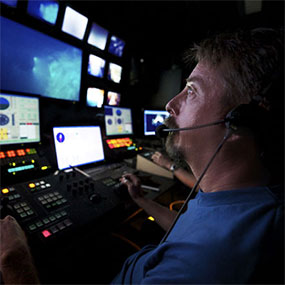
Dave Wright joined the Ocean Exploration Program in 2009 to help bring to life the ROV component aboard the Okeanos Explorer. He is a self-taught engineer who brought a set of skills that most would envy. Highly respected in the field of underwater technology, Dave spent a decade working with Dr. Robert Ballard at the Institute for Exploration. Prior to that he was a development engineer at the Monterey Bay Aquarium Research Institute.
Dave is one of our senior pilots and, in addition to being an invaluable electrical engineer, he is one of our most respected mentors to the younger generation we seek to train. Dave is a veteran of some of the earlier ocean exploration projects, having served as pilot on the 2004 Titanic cruise, the 2004 and 2005 Mountains in the Sea cruises, and the 2005 cruise to Lost City. He is a co-inventor of the ‘Aquatic Autosampler,’ a fully automated system for in situ species identification of toxic phytoplankton, developed at the Monterey Bay Aquarium Research Institute. When not on assignment with Ocean Exploration, Dave enjoys exploring the brownwaters of the Ohio River near Louisville in ‘Kitty Hawk’, a 1941 mahogany-on-oak motor cruiser.