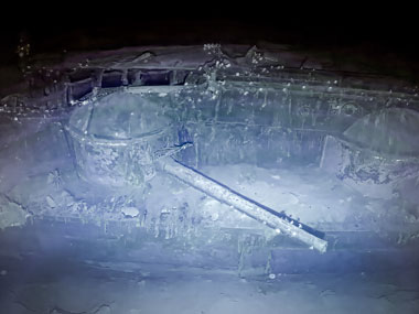
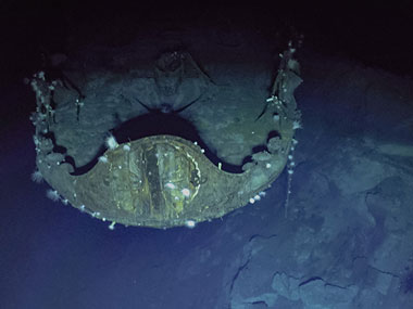
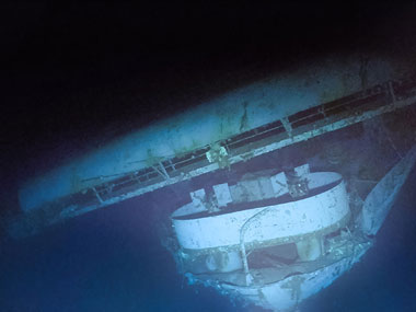
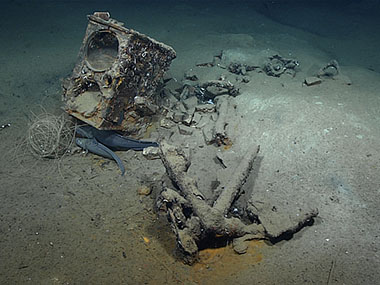
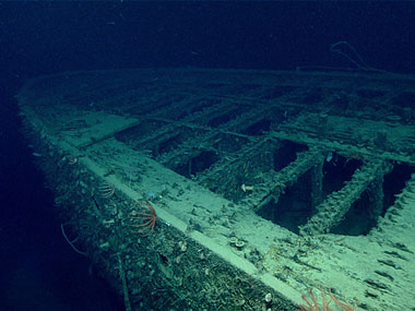
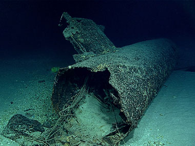
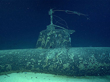
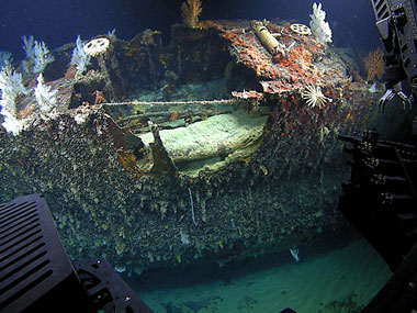
Photogrammetry Collection
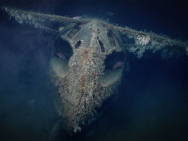
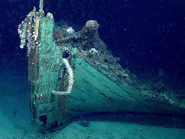
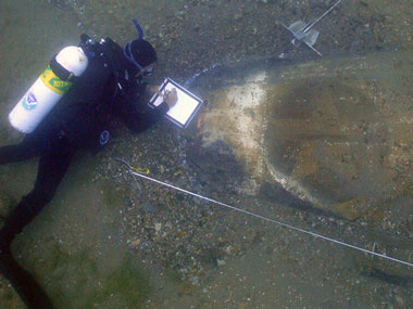
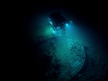
In the field of ocean exploration, photogrammetry is one of the many tools used to help us better understand the ocean and what lies within it. It’s used to create interactive 3D virtual models of seafloor sites and features by stitching together hundreds or thousands of overlapping 2D images — taken as still photographs or clipped from video — captured by divers or underwater vehicles. Photogrammetry is used to model maritime heritage sites as well as geological and biological features, such as hydrothermal chimneys and coral reefs.
Located underwater and often in remote locations, these sites and features are difficult to access, but photogrammetry models enable anyone — scientists, researchers, the general public — to access and interact with them noninvasively from their own computers or mobile devices at any time. Photogrammetry eases and improves efforts to study seafloor sites and features and monitor them over time to see how they are changed by natural processes and/or human disturbance.
The purpose of this photogrammetry collection is to share models of seafloor sites and features visited and modeled by NOAA Ocean Exploration and partners — and hosted on Construkted Reality — for use by scientists, researchers, and others interested in detailed representations of our exploration targets. Additional models will be added as they become available.