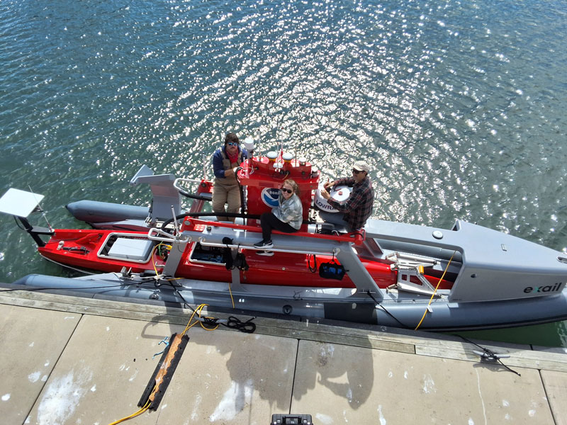
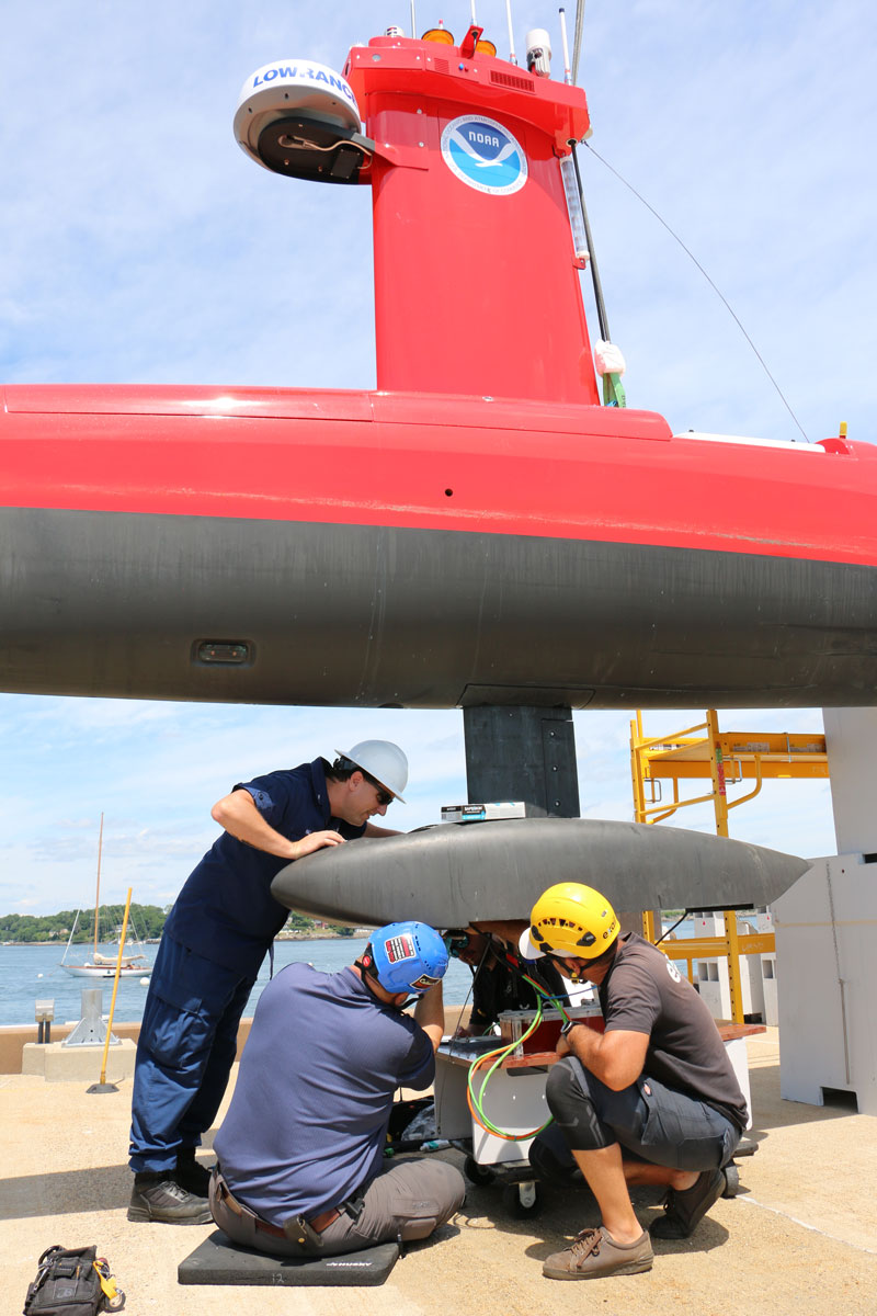
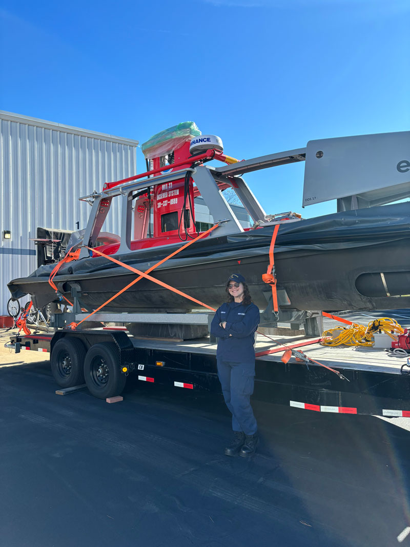
2024 Dual DriX Project: Investigation of Tandem Uncrewed Surface Vehicle Operations for Seafloor Mapping Missions
Dual DriX in the Gulf of Maine: Project Updates
Below are updates on the 2024 Dual DriX Project being conducted by partners in the Gulf of Maine. Check back weekly to learn how the project is coming along.
Post-Survey
Dual DriX operations ended on October 26, 2024. The project proved to be a great opportunity to explore the operating model of tandem uncrewed surface vehicle operations controlled from a shorebased operations center. The project team gained critical insight on the resources needed to perform multi-platform uncrewed systems operations 24/7, along with the roles of human operators, technicians, and other experts in such uncrewed work.
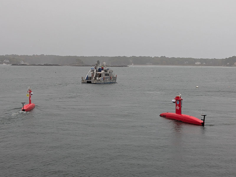
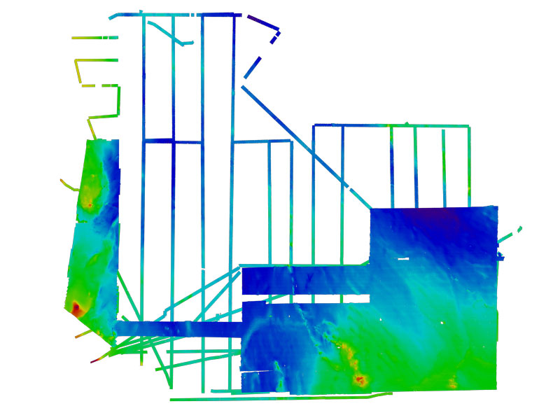
The DriXes surveyed over 2,600 linear nautical miles and gathered bathymetric data of the seafloor as it surveyed. Like the data gathered from NOAA’s hydrographic survey vessels, the data gathered from the DriXes during this project will be processed and incorporated into NOAA Office of Coast Survey’s hydrographic maps and other products. When not surveying the seafloor, the project team experimented with different hardware and software elements of the DriX platforms and operations center to improve the quality of data gathered and efficiency of effort.
While field operations are over for the Dual DriX Project, the work is not done. Technical and scientific experts are still evaluating the concept of operations for the project and assessing the collected mapping data. Lessons learned and data acquired throughout the project can help fill gaps and improve future survey efforts focused on hydrography, fisheries habitat assessment, underwater archaeology, and more.
Week 3: October 20 - October 26, 2024
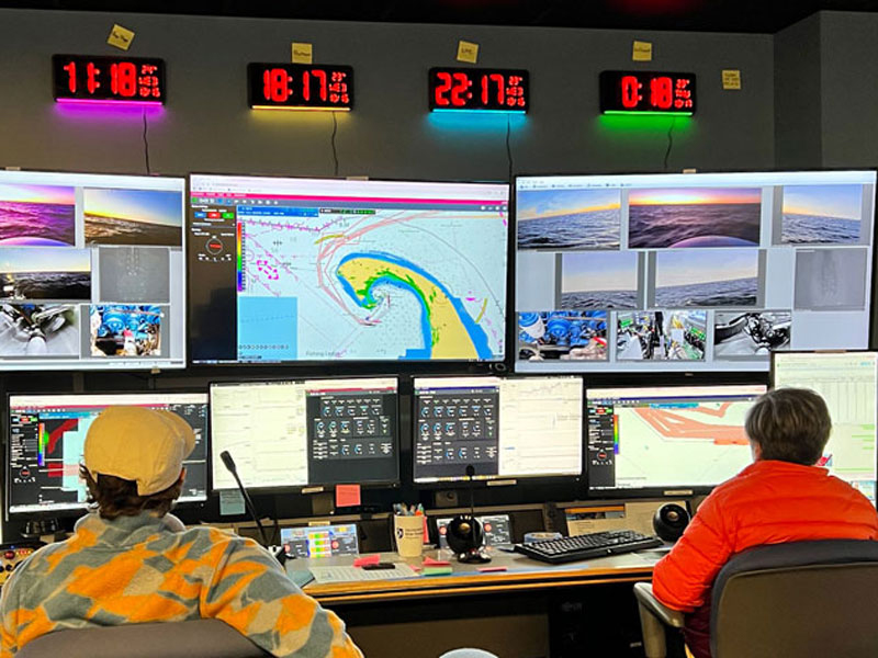
While the survey efforts in the Dual DriX Project focus on uncrewed systems, people are still a critical part of the operations. The DriXes operate with ‘supervised autonomy’ meaning there is always a trained operator monitoring, and sometimes piloting, the DriX. Trained surveyors are also essential to making sure the correct data are gathered and are accurate. Other expert personnel support the DriX operations in servicing the equipment, establishing details of the operating plan, and more. A goal of the Dual DriX Project is to better understand the role of people in uncrewed operations. This week’s update features profiles on some of the team members supporting the Dual DriX Project.
Team Member Spotlight: Acacia Quidort
Acacia is on detail with the NOAA Uncrewed Systems Operations Center from the Naval Oceanographic Office to support and learn more about DriX operations. She previously worked on efforts by the Navy to upgrade Naval vessels with autonomous capabilities. On the Dual DriX Project, she played a critical role in mobilizing the platforms and serves as an operator in daily operations. Acacia is part of a team at the Uncrewed Systems Operations Center that is interested in testing new operating styles. As a result, no two of her shifts are the same and she rotates between day and night shifts. When asked what her favorite part of the project was, Acacia commented, "Between the teams at the University of New Hampshire, NOAA, and our industry partner Exail, it has been an incredible experience meeting so many talented people."
Team Member Spotlight: Lieutenant Junior Grade Tyler Hall
Lt. j.g. Hall has extensive experience with the DriX and is a certified DriX master operator and DriX operator supervisor. He serves as one of the remote operations center supervisors during the Dual DriX Project. In this role, he oversees all DriX operations during a shift and maintains unity of effort across shifts and teams on the project. Prior to the Dual DriX Project, Lt. j.g. Hall worked on DriX hydrographic surveys aboard NOAA Ship Thomas Jefferson off Georgia, exploratory work using a DriX to perform fisheries surveys with NOAA Ship Oscar Dyson in Alaska, DriX testing with the University of New Hampshire, and other work to support DriX operations. When not working on the DriX, Lt. j.g. Hall provides engineering support to NOAA Marine Operations for the utilization of emerging technologies like the DriX.
Team Member Spotlight: Ensign Genesis Beaz Nieves
Ensign Beaz Nieves is a NOAA Corps Officer stationed as the Junior Officer on one of NOAA’s hydrographic survey vessels. She was introduced to DriX operations while NOAA’s first DriX (DriX 12) was underway with NOAA Ship Thomas Jefferson. During this effort, she was able to learn how a DriX can be used to gather hydrographic data. On the Dual DriX Project, Ensign Beaz Nieves is part of the survey team that is in charge of making sure all data acquired from the DriXes is accurate and useful so that it can later be incorporated into nautical charts.
Week 2: October 13 - October 19, 2024
While the DriXes are out surveying, get to know the platforms more with this video.
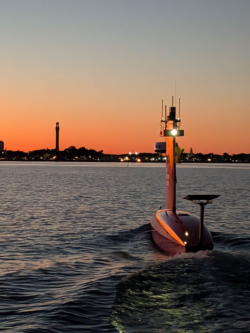
Dual DriX operations are well underway in the Gulf of Maine. During the week of October 6, the project team was able to pilot the two DriX uncrewed surface vehicles from the University of New Hampshire’s research pier to their established survey grounds northeast of Cape Cod. All piloting occurred from remote operating centers on land. The platforms are performing around-the-clock survey operations and only returning to land for maintenance and refueling.
Check out the Related Links and Education Content sections to learn more.
