By Chuck Meide, Director of the Lighthouse Archaeological Maritime Program - Lighthouse Archaeological Maritime Program
July 15, 2014

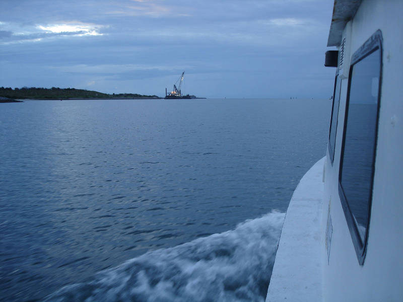
The research vessel Roper heads out to sea at dawn. Image courtesy of Image courtesy of the Search for the Lost French Fleet of 1565 Expedition, NOAA-OER/St. Augustine Lighthouse & Museum. Download larger version (jpg, 227 KB).
After the disappointment of last night, turning around to come back into Canaveral Inlet rather than take our chances rounding the unfamiliar Cape at night, we are eager to get underway and begin collecting data. We had planned to wake up at anchor at our search area, instead of facing a seven to nine-hour transit from Port Canaveral, so we are now well behind schedule. But even though as scientists we hunger for the data we are seeking, we do need to always remember that safety has to be our priority and no amount of data is worth running our research vessel aground.
So our hopes were high as we woke up at 0600 to start the boat and prepare to cast off our mooring lines to set sail for the open sea. It’s not long before even the most disappointed among us have to admit we made the right call, as the seas are much calmer now and it is smooth sailing as we cruise into the sunrise.

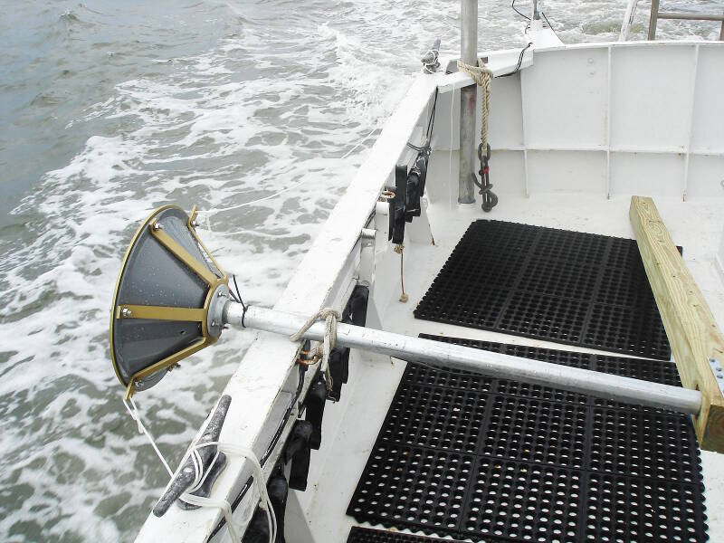
The transducer for the subbottom profiler, secured on the gunwale while the boat is underway. The cone-like transducer will be lowered straight down into the water during survey, so that it can send soundwaves directly down into the seafloor to potentially “see” buried wreckage. Image courtesy of Image courtesy of the Search for the Lost French Fleet of 1565 Expedition, NOAA-OER/St. Augustine Lighthouse & Museum. Download larger version (jpg, 400 KB).
We make the most of our voyage by prepping the survey equipment on route. Our three primary tools during the survey phase of the project are the magnetometer, sidescan sonar, and subbottom profiler. The latter is the technology that we are least familiar with.
We have never used this particular model of subbottom profiler, the SyQwest StrataBox, on board Roper before, and the initial challenge will be simply attaching it to the vessel in a way that is suitable for data collection. Unlike our other two devices, which entail towing a “fish” or sensor head behind the boat, the StrataBox transducer is mounted on a pole which is then lowered into the water. It turns out to be a good thing that we have the extra time to rig a system to hold the transducer securely in place, because it turns out to be more of a challenge than we had initially thought.
The purpose of a subbottom profiler is to send a narrow acoustic beam from the transducer straight downwards, which will penetrate the seafloor and bounce a signal back to the transducer. This sound echo is affected by the density of sand or other materials it passes through, and the device can interpret the return signal to visually represent a cross-section of the bottom beneath the boat.
Hard materials directly under the boat such as wreckage can thus be seen in the digital display, even if they are buried. But before we can use the device, we need to be able to secure it tightly to the gunwale of the boat so that the transducer and the pole it is mounted on stay vertical despite the considerable drag created by the friction of passing seawater while the boat is underway.
We had planned to mount the pole on a solid 4x4 timber and use stays of narrow line to help hold it in place, but it is difficult to keep the transducer stable when travelling at a speed of four knots, our regular survey speed. We solve the problem when we realize that we already have a steel bracket mounted on our transom, normally used for a sonar bottom-finder and low-resolution hull-mounted sidescan sonar transducer, which will fit the pole our subbottom is mounted to.
At 1:13 pm (we use a military-style 24-hour clock when logging time at sea, so we write that time as 1313 in our field notes and ship’s log), we arrive at the southern end of our survey area. We have finally arrived and are (almost) ready to collect data!
With the subbottom mount ready to go, we continue to make the final preparations for the remaining survey gear. This includes running a lot of cables from the equipment on deck (differential GPS, sidescan sonar, magnetometer, and subbottom) into the cabin where it all gets plugged into our survey laptops. A lot of this prepping was done while underway, actually, but we are still busy making connections, zip-tying cables, and rigging devices for the next hour.

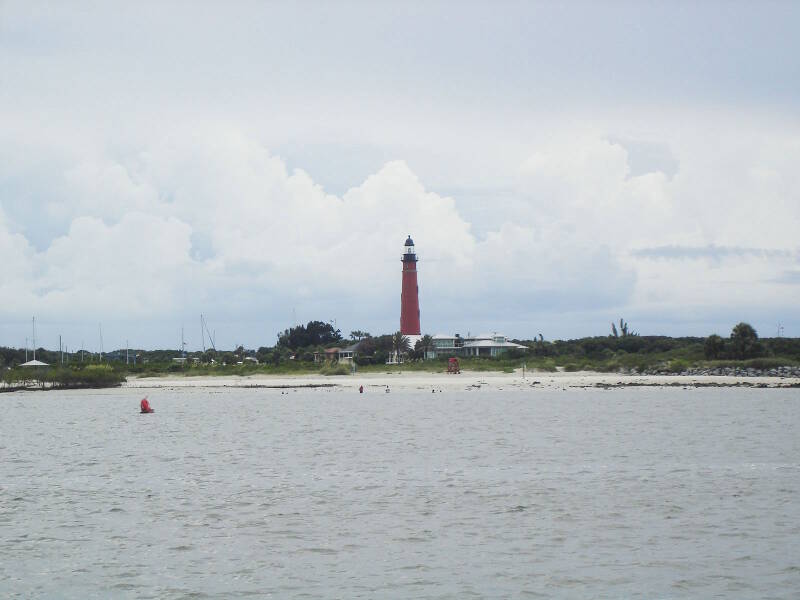
The Ponce Inlet Lighthouse greets us as we make our way through the inlet into the sheltered interior waters. This was the lighthouse seen by the shipwrecked crew of the steamship Commodore, when they were adrift on a lifeboat in the story memorialized by Stephen Crane, “The Open Boat.” Image courtesy of Image courtesy of the Search for the Lost French Fleet of 1565 Expedition, NOAA-OER/St. Augustine Lighthouse & Museum. Download larger version (jpg, 204 KB).
Unfortunately, while the Roper slowly drifts and we are focused and prepping for survey, the seas have begun to kick up, and the sky has darkened. Then we begin to see lightning and hear the accompanying thunder rumbles, which are oh-so-typical for Florida’s Atlantic coast on summer afternoons. By 2:30, Brendan, our boat captain, has checked the marine weather forecast and made the call that it will soon be too rough to effectively gather sonar data, or to safely keep the boat out overnight.
So we reluctantly head in, heading north to Ponce Inlet rather than south back to Canaveral, since we are closer to Ponce. Brendan makes some mental calculations, setting our speed to arrive at the inlet just after ebb tide, since that will offer safer conditions to navigate the sometimes tricky inlet. We arrive there a little past 5:00 pm.

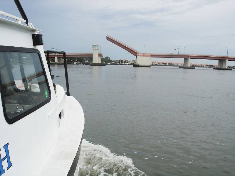
Roper passes under the George Musson drawbridge as we head to the New Smyrna Beach City Marina for the night. The City has generously offered us free dockage, to help support the project. Image courtesy of Image courtesy of the Search for the Lost French Fleet of 1565 Expedition, NOAA-OER/St. Augustine Lighthouse & Museum. Download larger version (jpg, 238 KB).
The good news is that the City of New Smyrna Beach has offered to support the expedition by giving marina space free of charge when we are forced in due to weather. The bad news is, of course, that we were forced in due to weather. That has really put a damper on the mood of the crew. On day one we were all really excited and the enthusiasm was readily apparent. Now we are at the close of day two, with no data whatsoever to show for it.
Considering that there will be another two-hour transit in the morning back to the survey area, this has put us severely behind schedule, and I have begun to doubt that I left ourselves with enough time to account for foul weather, which is a reality of working off Florida’s Atlantic coast. As of now, it is distinctly possible that we won’t have enough scheduled time to finish our complete survey area during the first cruise, as we had planned.
By 6:45 pm, we are safely at dock. The glum mood has begun to turn around as we grill our dinner and remember that being ashore means we can enjoy hot showers. We all agree that we want to wake up as early as possible, in order to get out the inlet before dawn and arrive back on site as soon as possible. We take heart in the fact that all of our remote sensing equipment has been tested and is rigged and ready to go, and that with hard work and long hours we can still make up for lost time. If the weather holds...