
By Sam Turner, Director of Archaeology - Lighthouse Archaeological Maritime Program
August 9, 2014
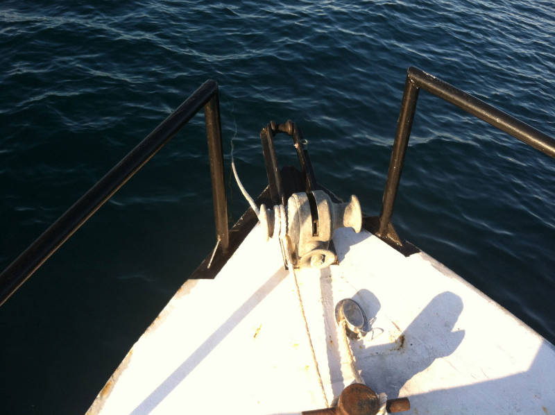
“On hook” during the early morning. The waters off Canaveral Seashore are considerably better than ours in St. Augustine in terms of visibility. Looking down the anchor line as it descends into the sea reminds us that our diving here will be accompanied by the ability to actually see what we are doing rather than having to do it by braille as is often the case in St. Augustine. Image courtesy of Image courtesy of the Search for the Lost French Fleet of 1565 Expedition, NOAA-OER/St. Augustine Lighthouse & Museum. Download larger version (jpg, 501 KB).
The morning of August 9 began bright and beautiful. A nearly full moon hung just above the western horizon over a remote stretch of coast. It swiftly set, disappearing from view in less than 10 minutes. The coffee pot was prepared and placed on the small gas camping stove that sits in the aft-port corner of the pilot house which serves as Roper's galley as the crew went about dressing and brushing their teeth.
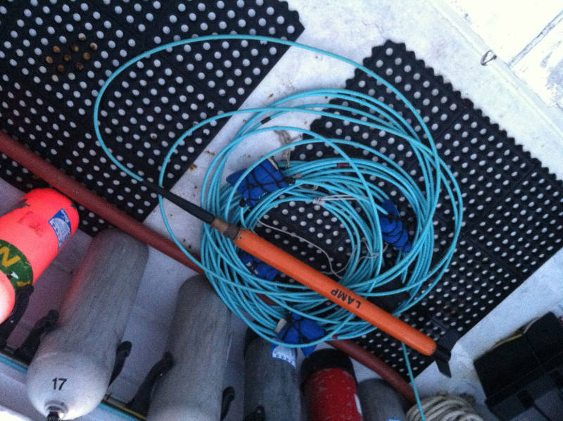
The mag and tow cable with a full set of 32 pounds of lead weight consisting of four blue six-pound weights and one black eight-pound weight. Image courtesy of Image courtesy of the Search for the Lost French Fleet of 1565 Expedition, NOAA-OER/St. Augustine Lighthouse & Museum. Download larger version (jpg, 455 KB).
As was the case the day before, we brought all our equipment and navigation systems on line and made sure everything was getting a good GPS signal. We raised anchor and proceeded to the southern portion of the project area to carry out a refined survey of Target 7. This target had a number of characteristics that were similar to Target 1 which we had resurveyed the day before. One of the three anomalies in this target cluster has a multi-component signature often associated with historic shipwrecks and they all occurred on adjacent track lines, another aspect of anomalies representative of shipwrecks.
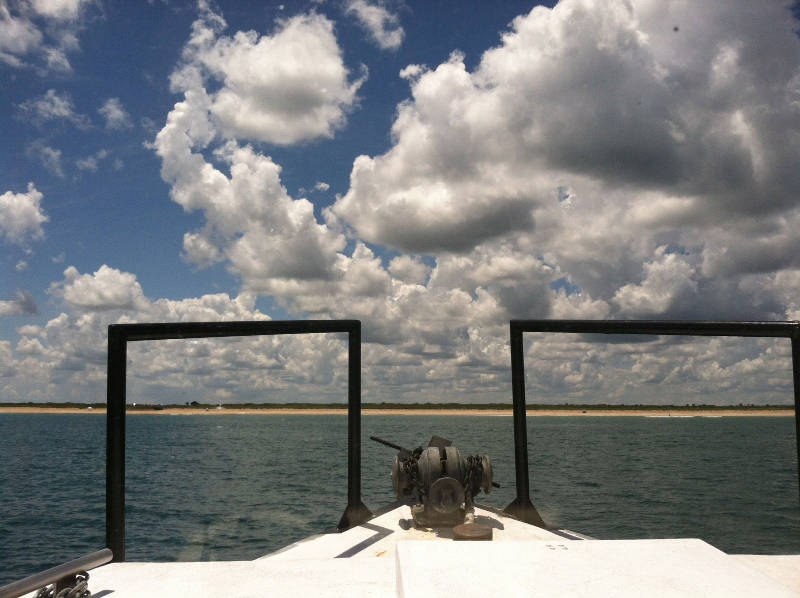
The bow of the Roper as she makes her turn east to come on line for the next survey lane in Target 7. This stretch of remote Florida coast gives one an idea of what old Florida looked like from the sea before the era of beachfront condos and hotels. Image courtesy of Image courtesy of the Search for the Lost French Fleet of 1565 Expedition, NOAA-OER/St. Augustine Lighthouse & Museum. Download larger version (jpg, 330 KB).
The water depth in this area is 36 feet, so in this case we used the total weight load of 32 pounds for the mag cable which took the magnetometer towfish to a depth of 23 feet and 13 feet from the seabed. This refined survey was also run with a six meter lane spacing to generate a very detailed magnetic contour map that will allow up to pick the best dive locations to test this target. We ran the lines at four knots which was the tow speed we had established the previous day to keep the towfish at 23 feet with a weighted mag cable.
The first line was uneventful and exhibited no unusual magnetic activity. Like the refined survey of Target 1, we ran all lines from south to north. This yielded a more stable reading of the magnetic field. Travel in the opposite direction resulted in greater fluctuation in the ambient magnetic field reading, possibly the result of the sea state affecting the movement of the towfish or other environmental factors. Running all lines in the same direction is crucial during a refinement survey since it will result in a much smoother magnetic contour map.
When doing a large survey block, as we had done during Cruise 1 over the complete five-mile-long search area, we run the lines back and forth in opposite directions in order to save time and fuel costs. The results are not as nice to contour but perfectly acceptable for detecting individual magnetic anomalies of interest over a large area. But for our refinement survey, we are attempting to produce as detailed and accurate a magnetic contour map as possible.
The second line of Target 7 revealed a dipolar magnetic deflection, that is to say a magnetic anomaly where we detect both its positive and negative poles. The next lines three through eight all exhibited magnetic activity which tapered off to nothing on line nine. The next four lines demonstrated no magnetic activity above or below that of the ambient magnetic field. This was followed by two lines with magnetic activity and then another two with none. This indicates two separate areas of magnetic activity that may or may not be related.
We chose to do seven tie lines over this target and finished the refined survey of Target Seven at 1:45 pm.
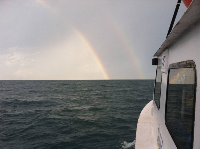
A double rainbow after the storm. Image courtesy of Image courtesy of the Search for the Lost French Fleet of 1565 Expedition, NOAA-OER/St. Augustine Lighthouse & Museum. Download larger version (jpg, 270 KB).
After Target 7, we proceeded to our next set of interesting magnetic anomalies. This target known as E4T was flagged as interesting by both myself (Turner) at LAMP and Jeff Enright at SEARCH .
This target was in 32 feet of water, so we kept our full set of weights on the mag cable so that the magnetometer sensor would sink to 23 feet giving a nine-foot clearance between it and the seabed.
This target resembled the one we had just done in that it had two separate and distinct areas of magnetism.
As we began to collect data on this target, afternoon thunderstorms developed to the west and broke on us a few lines into the survey. The visibility deteriorated and the sea state increased, making it difficult to stay on line. After about four lines, it moderated so we continued the survey and then reshot, or did over, some of the lines that had been recorded during the storm.
We got some more rain just as we finished surveying E4T, but nothing like what we had experienced previously. Our next target lay well to the north of our position so we turned our bow north and took the weather on our port side.
After a while we arrived in the vicinity of the next target called E3T which, like the last target, had been flagged by analysts at both LAMP and SEARCH. The rain had ended and a spectacular double rainbow had appeared to the south. We managed to capture it with both still and moving photography before starting our refined survey.
The refined survey of this last target of the day detected a good deal of magnetic activity that was concentrated in a central location rather than being split as had been the case with the day's earlier two targets. We finished the tie lines of the survey in blustery conditions and then headed out to of the target area and anchored in approximately 30 feet of water. It had been another long and productive day.
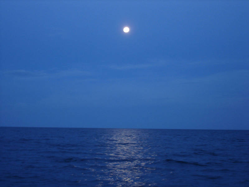
The full moon rises above the broad Atlantic Ocean. Image courtesy of Image courtesy of the Search for the Lost French Fleet of 1565 Expedition, NOAA-OER/St. Augustine Lighthouse & Museum. Download larger version (jpg, 144 KB).
After a delicious marinated chicken dinner prepared by Chuck, enjoyed under a full moon, it was time to back up the day’s data.
After finishing all duties and chores and a good bit of conversation and staring at the full moon it was time for bed. Tonight I put my cot on the starboard side of the vessel. I lay down and looked up at the moon. Then I closed my eyes and slept like a stone.