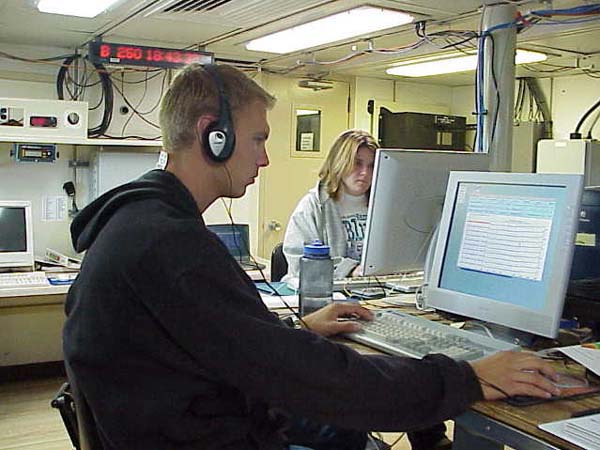
Kyle and Tammie working on editing during their four-hour watch. Seafloor mapping, of the quality that we are doing on the Hudson Canyon, means quality control and assurance of the data. Every hour of data that is collected is made into a separate file which has to be hand-edited. Image courtesy of Hudson Canyon Cruise 2002, NOAA/OER.
NOTICE: This page is being retained for reference purposes only and is no longer being updated or maintained.


