2023 Shakedown + EXPRESS West Coast Exploration
(EX2301)
Expedition Overview
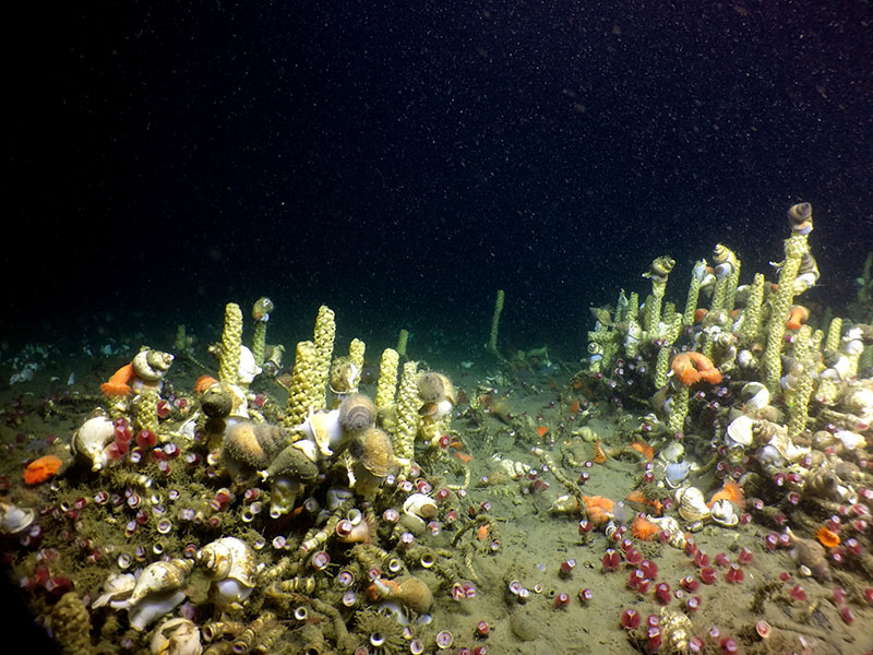
Geologically, the deep waters off the West Coast feature a convergent plate boundary, submarine volcanism, and hydrothermal vents. Biologically, they contain a variety of marine life supported by an abundance of hard substrate as well as hydrothermal vents. Because of their active geological features, rich biodiversity, and proximity to the coastline, scientists have been studying these deep waters for decades, yet much remains to be learned about the deep-ocean environment in this region.
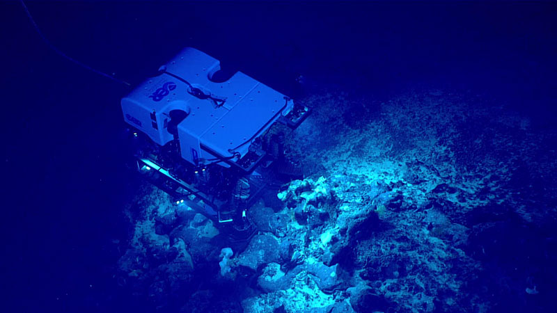
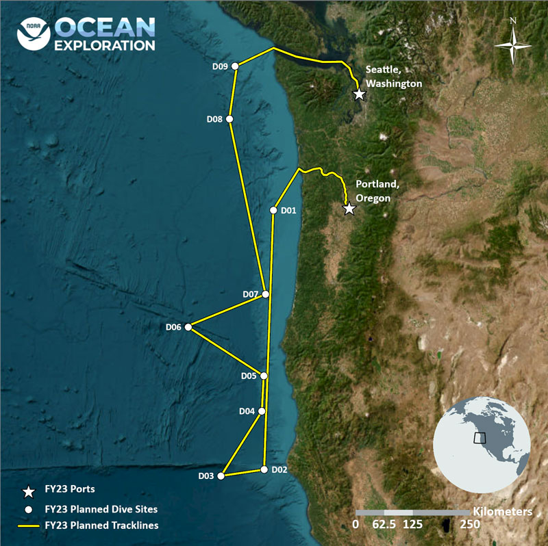
During the expedition, we will spend time calibrating, testing, and assessing the ship’s acoustic mapping systems and associated equipment. We will also conduct a series of five dives to address engineering objectives as part of the ROV system "shakedown." This shakedown period will include training of new personnel, review of operations to ensure safety and efficiency, and a series of five ROV dives. During these dives, our partners at the Global Foundation for Ocean Exploration will conduct rigorous tests of ROVs Deep Discoverer and Seirios, deploying them at varying depths to assess and troubleshoot their mechanical, electrical, and software systems.
Over the course of the expedition, we will conduct ROV dives at depths ranging from 600 to 3,800 meters (1,970 to 12,470 feet) to explore deep-sea coral and sponge habitats, potential hydrothermal vent and fracture zones (and related geohazards), and the water column.
All things permitting, dives will be streamed live daily, April 15 to 26, from approximately 6:45 a.m. to 6 p.m. PT / 9:45 a.m. to 9 p.m. ET [subject to change]. Note that dates and times are subject to change.
Throughout the expedition, when dives are not taking place, we will conduct CTD (conductivity, temperature, and depth) profile casts, with eDNA (environmental DNA) collection as well as mapping operations to collect acoustic data of seafloor and sub-seafloor geomorphology and water column habitats in the region. The collection of high-resolution mapping data is a key element of every NOAA Ocean Exploration expedition on Okeanos Explorer, and mapping data will be instrumental to planning subsequent ROV dives.
All data collected during the expedition will contribute to EXpanding Pacific Research and Exploration of Submerged Systems (EXPRESS), a multiyear, multipartner campaign are intended to guide wise use of living marine resources and habitats, inform ocean energy and mineral resource decisions, and improve offshore hazard assessments in waters off California, Oregon, and Washington.


