Escanaba Trough: Exploring the Seafloor and Oceanic Footprints
May 26 - June 14, 2022
Field Log: May 27-29
As seen in this update from Bureau of Ocean Energy Management critical minerals geologist Paul Knorr, the first three days of the Escanaba Trough: Exploring the Seafloor and Oceanic Footprints expedition were indeed busy – from collecting gravity cores and collecting measurements using the conductivity, temperature, and depth (CTD) rosette to deploying vehicles to map and visually survey the seafloor.
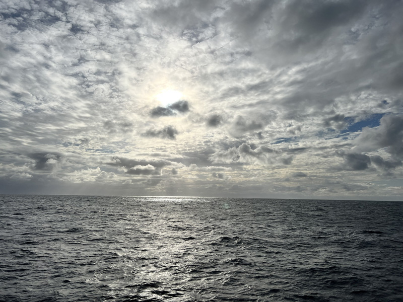
On the morning of May 27, we sailed back from the test site a few miles offshore of Newport. A small boat then delivered two additional science crew who had been delayed during travel. From there, we departed for the first science station in the northern Escanaba Trough area. Seas were fairly high with 20 to 40 knot winds.
Once on site on May 28, we collected a gravity core from a depth of approximately 3,200 meters (2 miles). The whole process takes between 2 and 3 hours; the core, attached to a steel cable, is dropped at a rate of about 50 meters per minute and takes about an hour to reach the bottom. The sampler is about 3 meters (15 inches) long and has a heavy weight at the top to help drive it into the seabed. The gravity core weighs about 1,000 pounds empty.
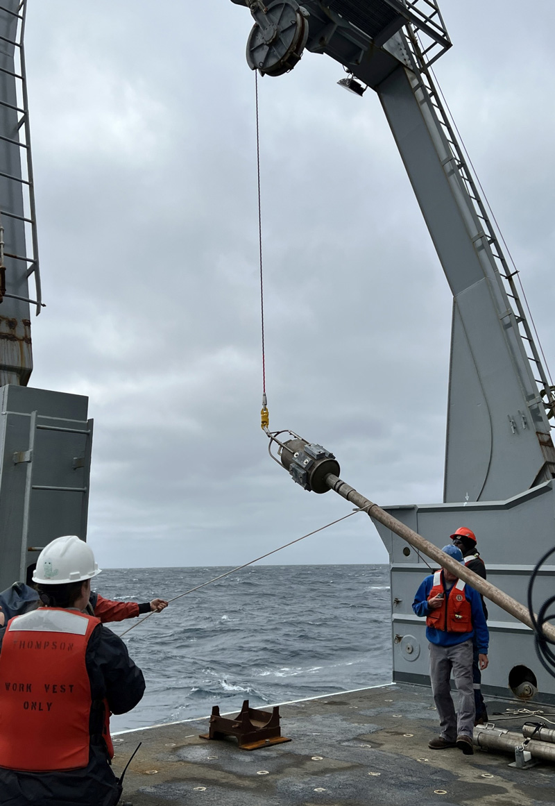
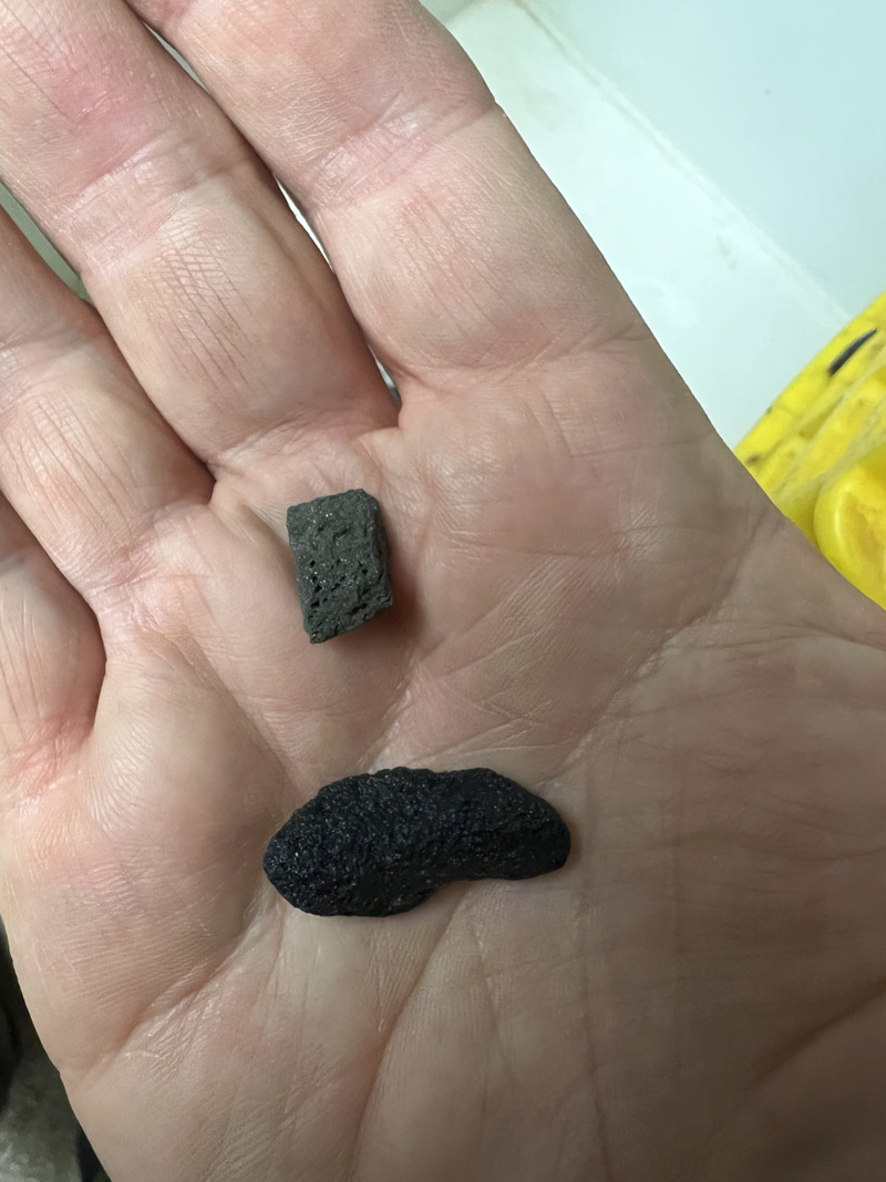
The first core yielded about 4 meters (13 feet) of gray mud. We collected a second core later on May 28. The second core landed in what is thought to be the mouth of a volcanic vent. Pulling it up was a bit slow as the seas were starting to pick up. This second core contained almost a foot of gravel- to cobble-sized well-rounded volcanic rock material, composed in part of the mineral pyrrhotite (FeS), a reflective bronze-colored iron sulfide that can occur in hydrothermal deposits.
We also collected a series of water samples at intervals between 3,200 meters and the surface using a rosette-CTD sampler, also lowered on a steel cable. The water samples will be analyzed back in the laboratory for a wide range of parameters.
On May 29, autonomous underwater vehicle (AUV) Sentry was released and began mapping the deep sea in great detail by collecting high-resolution multibeam data. About an hour later, remotely operated vehicle (ROV) Jason, which remains attached to the ship by a long tether, began its two-hour descent to the seabed.
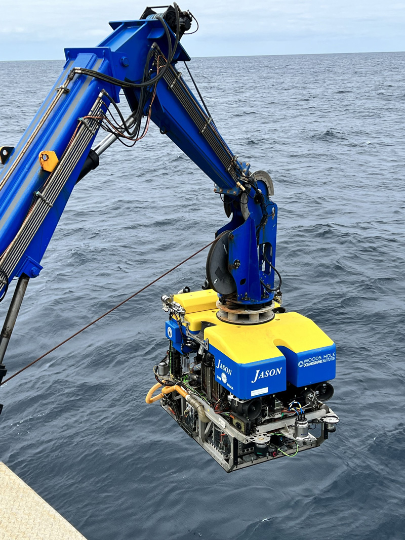
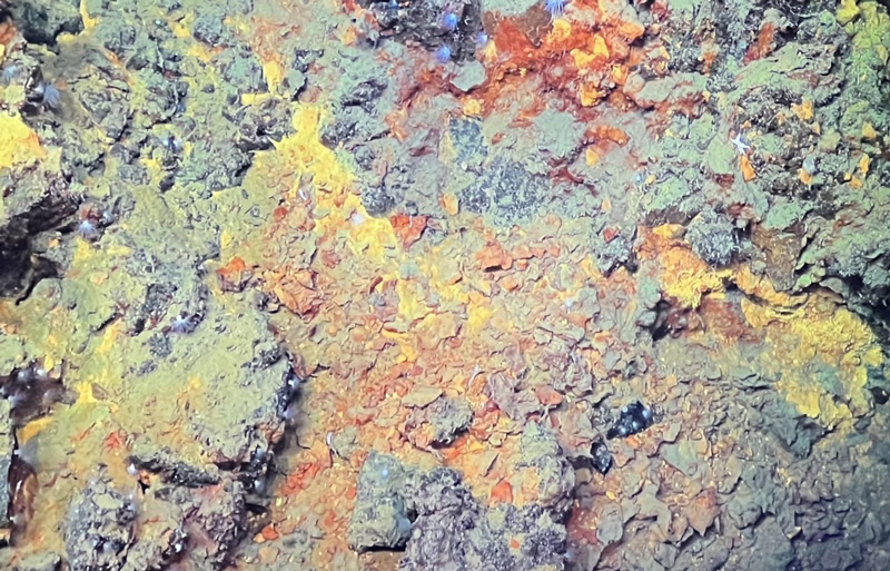
The scientists were really excited to see evidence of brightly colored iron-sulfide rich hydrothermal deposits and volcanic chimney formations and a variety of anemones, fish, crinoids, and sea cucumbers on this first dive. The Jason dive, which was scheduled to last about 18 hours, was cut short after about 8 hours because a compensator needed to be adjusted, but Sentry mapping continued uninterrupted and another rosette-CTD was scheduled to take advantage of the now-available time.
Gravity core sampling and rosette-CTD sampling can take place while Sentry, which is not attached to the ship, is deployed. However, when Jason, which is tethered to the ship, is deployed, core and water sampling is on hold. Only one cable (core, water, or ROV) can be deployed at a time.
By Paul Knorr, Bureau of Ocean Energy Management
Published June 1, 2022