Deep-sea corals form some of the richest, most diverse habitats of the deep ocean, yet in many cases, these habitats remain unknown or unexplored. Because deep-sea corals are slow growing and can live for hundreds to thousands of years, these ecosystems are particularly vulnerable to the impacts of human activities such as deep-sea trawling, oil and gas exploration, submarine cable laying, and ocean acidification.
In 2016, a team of scientists established a multi-year plan for exploration of the deep-sea habitats of the Gulf of Mexico, the U.S. South Atlantic, and the Caribbean called the Southeast Deep Sea Coral Initiative (SEDCI). From 2016-2019, scientists will be conducting research expeditions to survey, sample, and map deep-sea coral and sponge ecosystems throughout the Southeast Region in order to better characterize these habitats, identify threats to these deep-sea communities, and support current and future management needs.

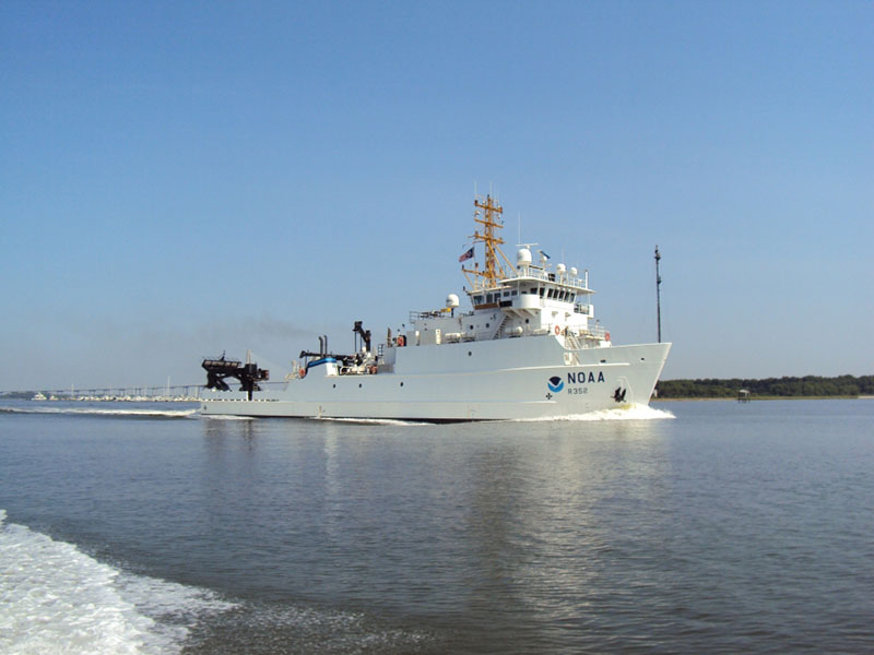
NOAA Ship Nancy Foster, which will support the 18-day mission to map, survey, and sample deep-sea coral ecosystems off the Southeast United States. Image courtesy of NOAA. Download larger version (jpg, 489 KB).
In August 2017, NOAA’s National Centers for Coastal Ocean Science (NCCOS) will lead an 18-day expedition aboard NOAA Ship Nancy Foster. The purpose of the expedition will be to map, survey, and sample deep-sea coral ecosystems in the eastern Gulf of Mexico and the South Atlantic Bight, focusing on management priority areas identified by the Gulf of Mexico Fishery Management Council (GMFMC) and the South Atlantic Fishery Management Council (SAFMC).

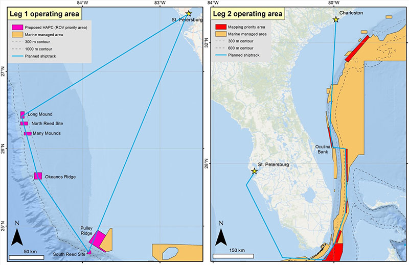
Map showing the operational area of the 2017 SEDCI expedition aboard NOAA Ship Nancy Foster, which will consist of two legs with different focus areas. Image courtesy of Daniel Wagner/NOAA. Download larger version (jpg, 667 KB).
This expedition will consist of two separate legs with different objectives and geographic focus areas.

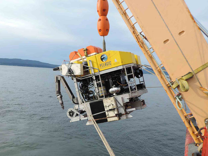
The ROV Odysseus, operated by Pelagic Research Services, will be used to survey seafloor areas on the West Florida Shelf that are predicted to have high densities of deep-sea corals and sponges. Image courtesy of Ed Cassano/Pelagic Research Services. Download larger version (jpg, 647 KB).
Objectives:
This exploration effort will help inform discussions regarding the expansion of the Flower Garden Banks National Marine Sanctuary, as well as the potential creation of new Habitats of Particular Concern by the Gulf of Mexico Fisheries Management Council.

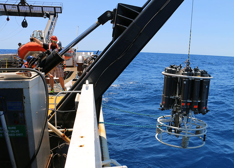
The CTD Niskin bottle carousel of NOAA Ship Nancy Foster will be used to collect environmental data and water samples for studies on seawater carbonate chemistry. Image courtesy of David Hall/NOAA. Download larger version (jpg, 6.4 MB).
Objective:
During both legs, the expedition team will also collect environmental data and water samples using a Conductivity, Temperature and Depth (CTD) profiler and will help characterize the physical environments that deep-sea corals occur in across the Southeast Region. This information is critical to understanding how deep-sea corals might respond to changing environmental conditions in the future.