by Dr. Martha Nizinski, Zoologist, NOAA Office of Science and Technology, National Systematics Laboratory
June 21, 2017

The motley science team of the Northern Neighbors: Transboundary Exploration of Deepwater Communities expedition at the end of a successful cruise. Image courtesy of Northern Neighbors: Transboundary Exploration of Deepwater Communities. Download larger version (jpg, 922 KB).
Chief Scientists’ weather report: Sunny, with a high near 74°. Light and variable winds becoming a veritable hurricane of data!
Multibeam mapping operations ended yesterday evening around 8 pm. This completes our data collection for this mission. As luck would have it, the fog had lifted, the sun came out, and the seas began to lay down. We should have a smooth ride back to Newport.
As the ship changes course to head for home, it is important to take an inventory of all we have accomplished. We have collected 180 hours of video which is equivalent to about four terabytes of imagery. We also have a total of 199 numbered samples collected by the remotely operated vehicle ROPOS. The samples include push cores (mud samples); Niskin bottles (water samples); and physical specimens of corals, sponges, anemones, cephalopods, and other invertebrates associated with the corals.
Sampling was targeted to assure that everyone got what they needed with minimal disturbance to the corals or the seafloor. All data collected will support new and ongoing research projects. For example, one Primnoa coral sample was sub-sampled and will be analyzed by at least five investigators. Just a few branches clipped from a coral colony will serve as a taxonomic voucher to document the occurrence of the species in a particular area, provide tissue for genetics, polyps for reproduction, skeleton to examine climate records, and tissue and mucus for microbiology. Components of the mud and water samples are also being shared among colleagues.
When the seas got too rough for ROPOS, we continued to support the objectives of the cruise by multibeam mapping the seafloor. By the end of the cruise, we mapped 230 square kilometers of seafloor in both U.S. and Canadian waters.
We are now spending our time packing up our samples and gear, making arrangements for shipping, and working out the logistics to get back home. These long, intense days at sea fuel the coming weeks, months, and years as we analyze the data. These data will be the foundation of student theses and dissertations. These data will be the topic of scientific papers, fill in data gaps in projects that require samples from multiple locations, be incorporated into broader-scale projects, and represent new coral presence records for databases. Data collected is already being used and shared. Images were added to presentations that will be given at upcoming meetings. Additionally, the multibeam data and select images have been shared with the New England Fishery Management Council and Department of Fisheries and Oceans Canada to aid in management decisions.
Although the cruise is ending, our work is just beginning as we process our samples and start analyzing the data. Much like putting a puzzle together, these data represent important pieces that are needed to complete the big picture. Each new piece is integral to the whole. But the shape and size of the puzzle continues to change as we learn more about deep-sea corals and their habitats and ask more questions. The deep-sea coral puzzle is not complete, but our results will fill in gaps and help build a more complete understanding of deep-sea coral and their contribution to the structure and function of the deep sea.

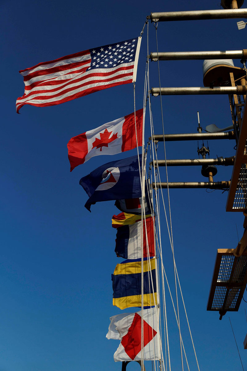
All flags ‘a’ flying as NOAA Ship Henry B. Bigelow steams to port in Newport, Rhode Island. Image courtesy of Northern Neighbors: Transboundary Exploration of Deepwater Communities. Download larger version (jpg, 828 KB).