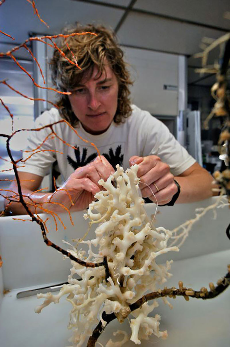

Martha Nizinski examines a deepwater coral specimen collected off the southeastern U.S. Image courtesy of Art Howard, Life on the Edge, NOAA Ocean Exploration. Download image (jpg, 279 KB).
From June 8 to June 27, 2017, a team of U.S. and Canadian scientists will survey and investigate known or suspected deep-sea coral habitats off the coast of the Northeastern U.S. and Canada, in the Gulf of Maine. The team will collect data to characterize seafloor habitats; identify regions thought to be coral hotspots based on previous data and habitat models that use physical and biological data to predict where corals are likely to occur; and observe coral abundance, distribution, and size.
Explorers will spend several days per site surveying and sampling at Nygren and Heezen Canyons in U.S. waters; Corsair Canyon in Canadian waters; the Northeast Channel Coral Conservation Area in Canadian waters; and Jordan Basin in the northern Gulf of Maine, which lies in both U.S. and Canadian waters at depths ranging from 200-3,000 meters.
This cruise continues work started in 2012 to explore and map deep-sea canyons in the Northeast U.S. and marks the third year of a three-year exploration program.
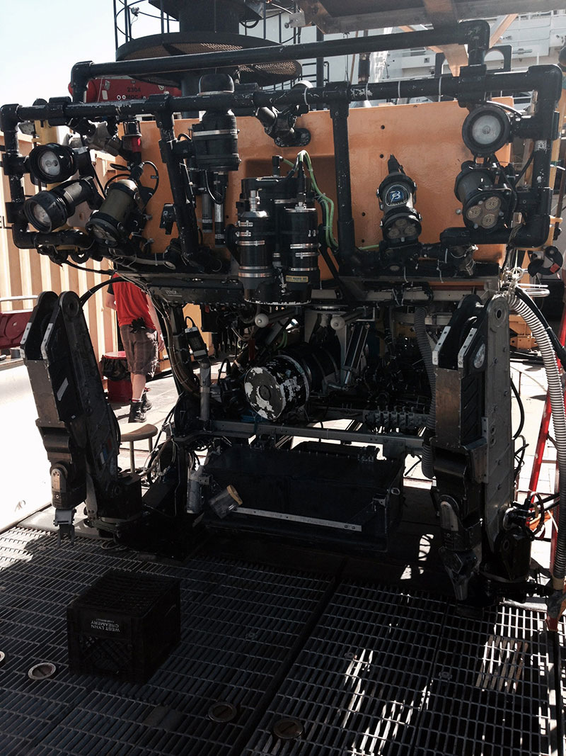
The science team will work aboard NOAA Ship Henry Bigelow, using a remotely operated vehicle called the Remotely Operated Platform for Ocean Science (ROPOS). ROPOS is able to record images and has attached sampling gear and manipulator arms to sample water, sediments, and marine life.
Environmental and oceanographic data will be collected using the ship’s Conductivity, Temperature and Depth Profiler (CTD) and multibeam sonar mapping capabilities.

Lighting, survey instruments, and articulating arms on the ROPOS. Image courtesy of Teri Frady, NEFSC/NOAA. Download larger version (jpg, 1.5 MB).