By Katie Wagner, NOAA Office of Ocean Exploration and Research, Web Coordinator
Dr. Martha Nizinski, NOAA Office of Science and Technology, National Systematics Laboratory, Chief Scientist
September 4, 2016

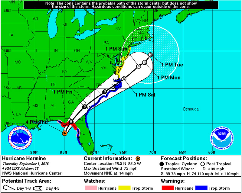
Projected track of Hurricane Hermine on Thursday, September 1. Image courtesy of Exploring Carolina Canyons expedition. Download larger version (jpg, 469 KB).
You can’t control the weather, but you can control the ship. With Hurricane Hermine quickly coming up the east coast, strong winds, confused seas, and wave height estimates of up to 40 feet were forecasted in the expedition area. With rough sea states like this we would not be able deploy the autonomous underwater vehicle Sentry or the CTD rosette or conduct any other operations on board the ship.
With the forecast and multiple weather models in hand, the ship’s crew carefully weighed the options. They considered heading inshore and waiting for the storm to pass before heading north. Unfortunately, with the projected path and speed of the storm we would have to stay sheltered for several days and not make it back to port by our scheduled date of return. The ship has a schedule to keep, so this was no longer an option. The crew also considered quickly heading north to the waters off Massachusetts and attempting to collect data there before the conditions deteriorated ahead of the storm. Regrettably, strong winds and high wave heights were forecasted for that area as well. We were quickly running out of options. The weather window for working was closing fast.

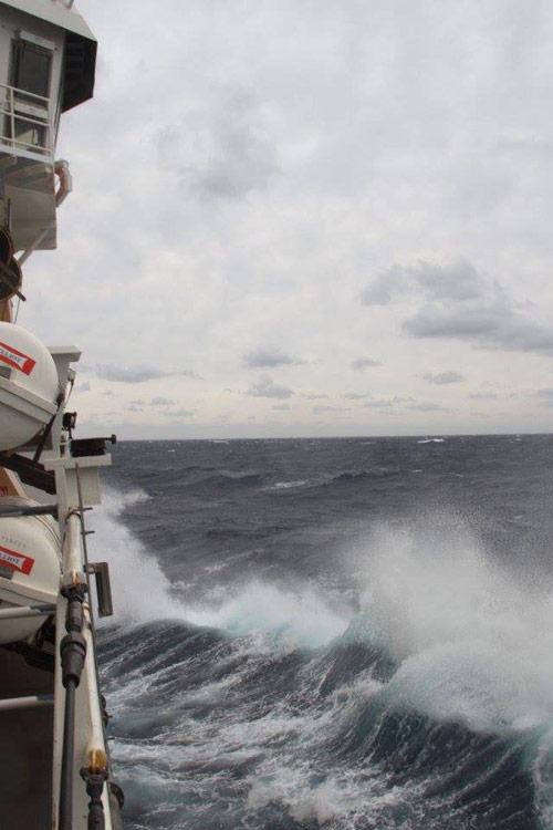
NOAA Ship Pisces transits through rough seas on the way to Rhode Island. Image courtesy of Exploring Carolina Canyons expedition. Download larger version (jpg, 187 KB).
In the end, the crew made the difficult but smart decision to cut the expedition short and depart Hatteras Canyon on Friday to make the nearly two-day transit north to Davisville. With strong winds and roughly eight-foot confused seas for a better part of the transit, all on board secured equipment both on and below deck, wrapped up some data processing, and hunkered down.
Early this morning, the ship transited through the calm waters off Rhode Island and pulled into port. Although we are disappointed to have lost a few days of the expedition, we are relieved to have made it back safely and look forward to processing data from Pamlico and Hatteras Canyons.