
By Martha Nizinski, Chief Scientist, NOAA Office of Science and Technology, National Systematics Laboratory
September 1, 2016
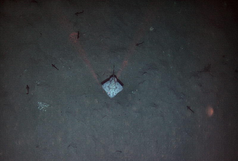
A skate and other fishes hover above the seafloor. Image courtesy of AUV Sentry, Exploring Carolina Canyons expedition. Download larger version (jpg, 8.9 MB).
After dodging some rough weather in the shallow waters off Cape Fear, North Carolina, the seas calmed down and we headed back out to the submarine canyons. With the long-range weather outlook uncertain and having confirmed the presence of deep-sea corals in Pamlico Canyon, we decided to investigate Hatteras Canyon.
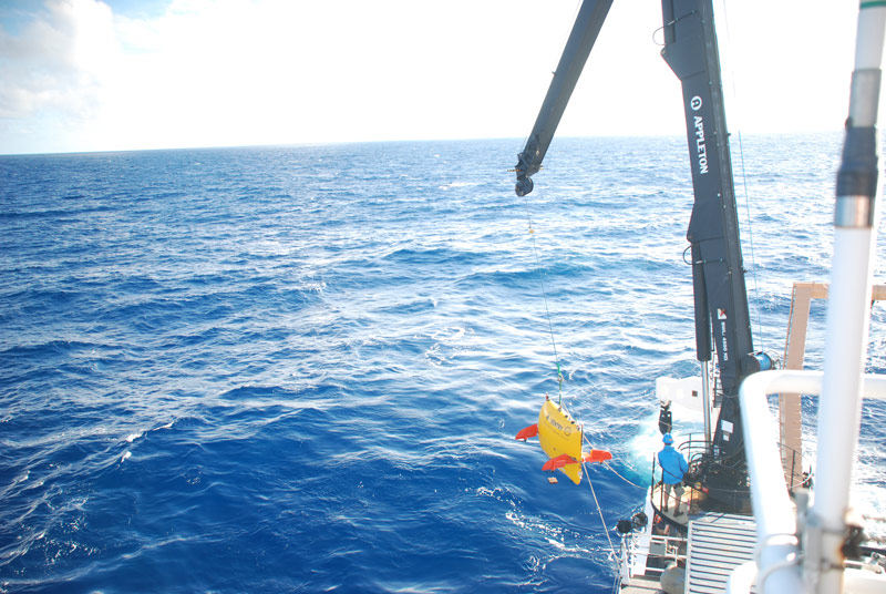
Sentry being deployed for an extended dive on August 31. Image courtesy of Exploring Carolina Canyons expedition. Download larger version (jpg, 5.1 MB).
With a two-day forecast of good weather on our side, we planned to deploy autonomous underwater vehicle (AUV) Sentry for a 36-hour dive to collect images and side-scan sonar data. Again, the science team consulted multibeam maps showing the depth and slope of the canyon walls to inform the target selection. We then discussed our plan with the AUV team to determine what was feasible for both distance and terrain. Since we are still unsure what habitat characteristics are correlated with deep-sea coral communities, we opted to include various depth/slope combinations.
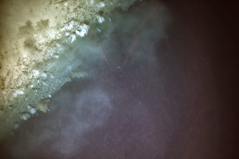
A diverse coral assemblage was observed along the steep wall of Hatteras Canyon. Image courtesy of AUV Sentry, Exploring Carolina Canyons expedition. Download larger version (jpg, 14.2 MB).
A longer deployment meant we could cover more ground. Although areas of steep slope were still a top priority, the Sentry team programmed a track of parallel lines, 30 meters apart, which covered an area of the canyon characterized by slopes as steep as 40° to a more gentle terrain of 10°. After a few tweaks to the layout, Sentry’s route was finalized. We were ready to deploy.
On August 31, Sentry was deployed at 0800 and again the science team waited ‘patiently’ for the results while looking at images from the previous dive, discussing similarities and differences between the Carolina canyons and those further north, and processing CTD and monocore data. Would there be images of corals along the Hatteras Canyon wall?
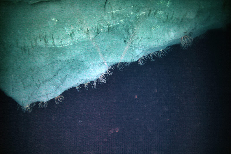
Brisingid sea stars congregate along the edge of the canyon wall. Image courtesy of AUV Sentry, Exploring Carolina Canyons expedition. Download larger version (jpg, 16.5 MB).
As the dive progressed, we continued to monitor the weather. We needed a plan to maximize the time Sentry was on the bottom with the always-changing weather conditions. Our weather window looked good for another half a day. We decided to cut this dive short to extend our bottom time. It sounds counterintuitive, but by bringing Sentry on board ahead of schedule, we are able to do a quick recharge of batteries and get Sentry back in the water for an additional 10 hours. Sentry resurfaced around 1100 on September 1, was recovered onto the deck, and the battery charging and data download began.
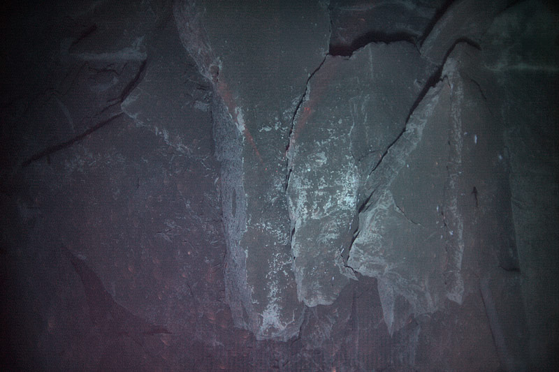
There is more to this canyon than steep walls as illustrated in this image of clean rock surfaces layered in Hatteras Canyon. Image courtesy of AUV Sentry, Exploring Carolina Canyons expedition. Download larger version (jpg, 14.6 MB).
On this dive, Sentry took over 28,000 photographs! The first pass through the images was quick to get a feel for what the canyon looks like. The first images of corals were highlighted with cheers from science team! We have confirmed the presence of deep-sea coral in Hatteras Canyon.
The review of images continues. We are observing habitats within Hatteras Canyon ranging from soft substrates, vertical walls, and possible debris fields, as well as a variety of fishes and crustaceans, and of course, coral assemblages.