By Hans Van Tilburg, Ph.D., Maritime Archaeologist and Western Pacific Region Maritime Heritage Coordinator, NOAA Office of National Marine Sanctuaries Maritime Heritage Program
October 2, 2015

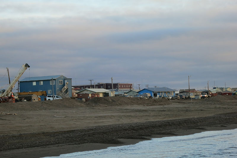
Beach at the village of Barrow, with artificial berm. Image courtesy of NOAA/ONMS. Download larger version (jpg, 2.1 MB).
The R/V Ukpik, making long close-to-shore transits in the survey area, provides the perfect platform for observing the state of coastal erosion here in the Arctic. Before arriving in Alaska, I had read as much as I could on the process of coastal erosion in order to be more familiar with what we might see on the bottom around the wreck sites and to understand wreck site formation processes.
Around the village of Barrow, I was impressed with the amount of heavy Earth-moving equipment, and the mass of the beach sand berms which had been built up to protect the village coastline from further erosion. The dirt road from the boat mooring into town was particularly narrow, having been swept over by storm in the recent past. That stretch seemed particularly busy with dump trucks and road graders.
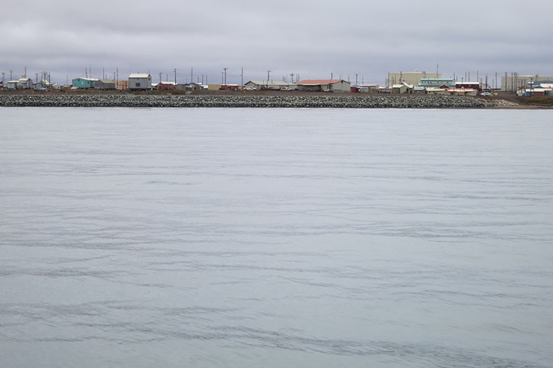
At the village of Wainwright, a long stretch of rip-rap, boulders used to armor the shoreline, fronted the beach through the center of town. The local landscape does not feature boulders like that; they must have been barged in at some considerable expense.

Rip-rap along the beach at Wainwright Village. Image courtesy of NOAA/ONMS. Download larger version (jpg, 1.7 MB).
These protections alter access to the ocean and affect the view shed of both land and sea and are major impacts to the environmental and cultural landscape. They are the visible effects of climate change and the people of the North Slope Borough must live and work around them on a daily basis, as a fact of life.
Following this survey I’ll return to Hawaii, where we still have a clear view of the ocean and relatively unobstructed sandy beaches and where we talk about climate change in a more abstract frame of mind.