By Steve Ross, Research Professor - University of North Carolina-Wilmington, Center for Marine Science

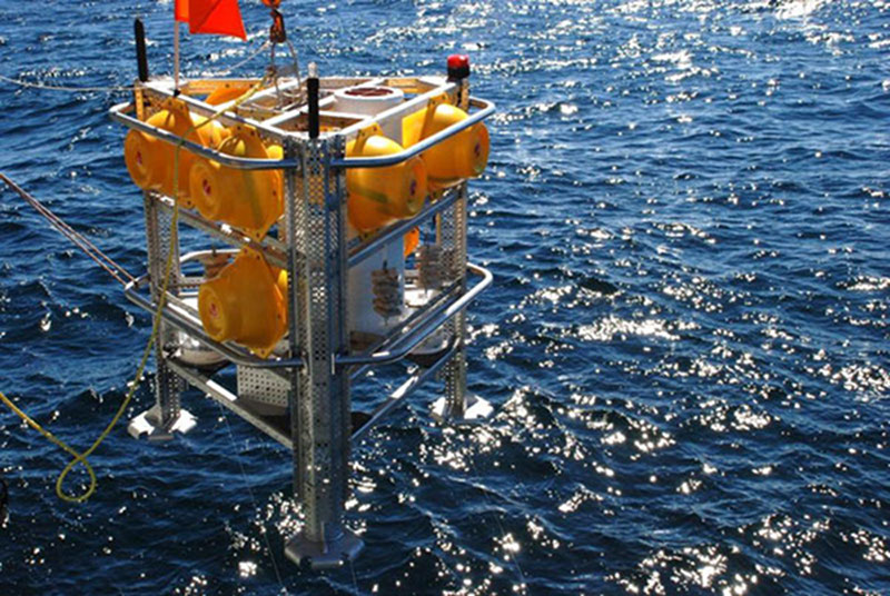
Univ. of North Carolina at Wilmington benthic lander being deployed in the Gulf of Mexico. Image courtesy of Steve Ross, UNC-W. Download image (jpg, 158 KB).
Information, particularly long-term monitoring data, on deep-sea habitats is limited. Detailed, longer-term data on physical variability are key to understanding unique slope habitats, such as deep-sea coral reefs and canyons, yet this information is largely lacking or is very general. During this cruise we will utilize sophisticated benthic lander technology to collect temporally and spatially detailed data within the deep water channels of Norfolk and Baltimore canyons. Data will be collected with sophisticated, computer controlled instrumentation on remotely placed benthic landers (see Figures) provided by US institutions and through international partnerships. Our partners from the Netherlands Institute for Sea Research will provide two benthic landers, University of NC at Wilmington will provide two landers, and US Geological Survey will supplement these with two moorings. We will place a benthic lander at the head and mouth of each of the two canyons with a mooring in the center of each canyon. These landers and moorings will be deployed on this cruise and retrieved the next year.

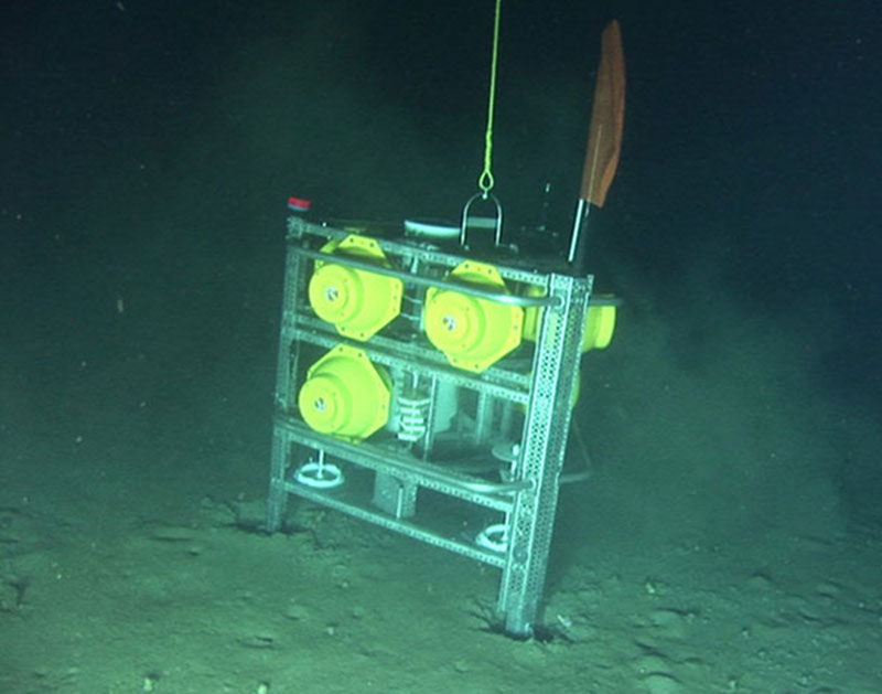
Univ. of North Carolina at Wilmington benthic lander on the bottom in 415 m depth. This lander was on the bottom in the Gulf for one year, and it is now ready to be deployed in the Middle Atlantic canyons. Image courtesy of Steve Ross, UNC-W. Download image (jpg, 66 KB).
Our benthic landers consist of a triangular aluminum frame surrounded by enough glass ball floats (in yellow plastic housings) to keep the lander on the surface. The landers are weighted with a large steel cylinder to keep them on the bottom, and when it is time to retrieve the lander, this weight is dropped using signals sent from the ship to acoustic releases. Each lander contains a programmable sediment trap which can take 12 monthly samples, plus instruments to record temperature, salinity, dissolved oxygen, turbidity, and bottom currents every 15 minutes. Each lander will be used to hold settling plates that will allow us to examine recruitment of larval invertebrates. In addition some landers will be used to support special chambers that can place living corals on the bottom to measure their growth and survival. One or two of the landers will have cameras that will record time lapse video of the bottom during the year. To help with recovery the landers also contain strobe lights, radio direction beacons and satellite homing beacons. These landers will deliver a huge, complex yearlong data set that will allow us to document environmental variability experienced by the animals we observe.

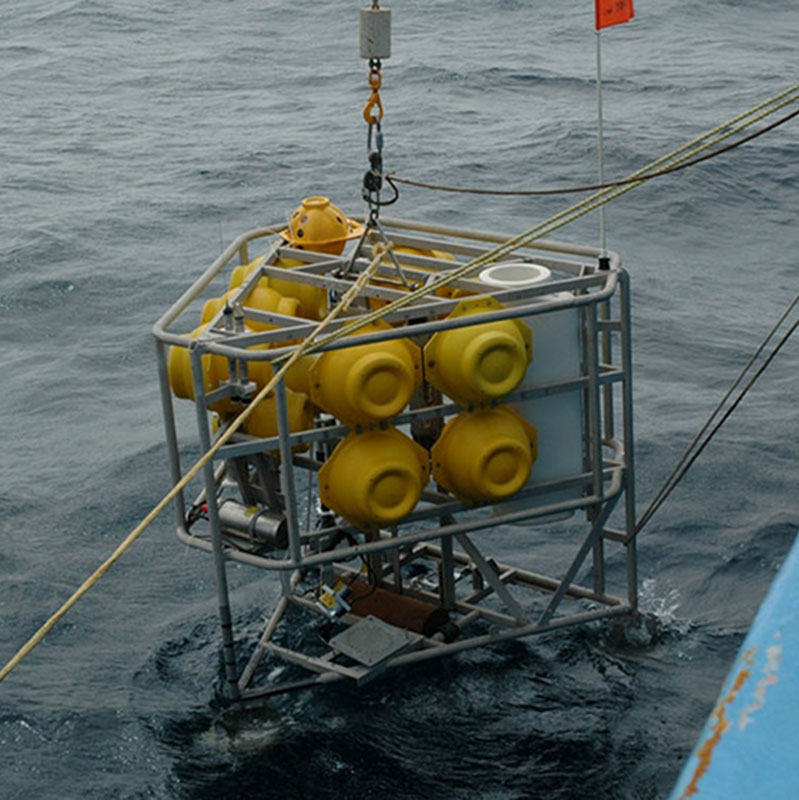
Netherlands Inst. of Sea Research ALBEX benthic lander that will be used in the Middle Atlantic deep-water canyons. Image courtesy of Steve Ross, UNC-W. Download image (jpg, 131 KB).

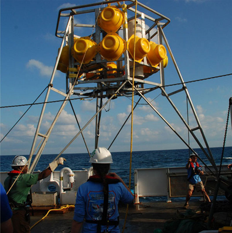
Netherlands Inst. of Sea Research BOBO benthic lander that will be used in the Middle Atlantic deep-water canyons. Image courtesy of Steve Ross, UNC-W. Download image (jpg, 129 KB).