
By Chris German, Woods Hole Oceanographic Institution
April 29, 2012
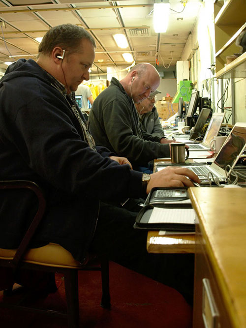
10:15 Saturday Night.... And the keys keep tap tap tap tap tapping. (10 bonus points if you can guess what band I was listening to on my headphones). Chris, Tim, and Dana chained earnestly to their laptops and finding completely different things of interest in exactly the same data sets. Between us, there should be no aspect of the Sentry data that hasn’t been considered by the time we are done. Image courtesy of Taylor Heyl-Muric, INSPIRE: Chile Margin 2012 Expedition, NOAA-OER. Download larger version (jpg, 706 KB).
A couple of days have passed since I last had the chance to post, and we have been working our way through about 14,000 photographs of the seafloor. Sad to say there is no “smoking gun” in what we have looked at but plenty of impressive information, nonetheless. Wherever there is flat ground, we see high abundances of life, more than Lisa or Tim would have thought typical at these depths in this part of the world’s ocean basins. But to test that idea, we will need to work through each photograph systematically, to count total numbers of different species that can be recognized and then work out, from that, their density per square meter so we can compare these results with what other scientists have reported elsewhere.
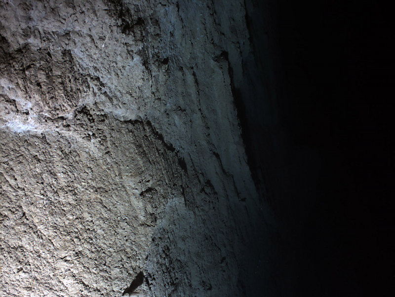
Going down? The seafloor on the left is less than 5m below Sentry in this photo taken at approximately 2700m below the sea-surface. The view to the right shows where that seabed plummets a further 200m or more, straight down! Image courtesy of Sentry, INSPIRE: Chile Margin 2012 Expedition, NOAA-OER/WHOI. Download larger version (jpg, 371 KB).
In parallel, I have been looking at the same photographs, together with the records from our Eh sensor on Sentry, from a different, geological, perspective. What that has indicated is that the strongest signals in our Sentry record do not come from the site where we cored warm mud in 2010 but, apparently, up hill immediately to the south of that.
When we get into that area, however, the topography is extraordinarily steep and the photographs taken looking straight down from Sentry may show the seafloor just five meters below the vehicle on one side of the photograph but the other side of the image just shows the seafloor disappearing out of view into darkness. As someone who hates heights (why else would a geologist end up spending all their career working at sea level?), I did manage to walk out on the see-through bridge that juts out over the Grand Canyon late last year and I’m not going to pretend that looking at the Sentry images is quite as gut-wrenchingly scary as that was, but I definitely found myself planting my feet firmly on the deck and pushing myself back in my seat at one point on Saturday night as I was viewing the images on my laptop screen – a clear sign I had been stuck at the computer too long and was beginning to imagine myself flying alongside Sentry a bit too vividly!!!
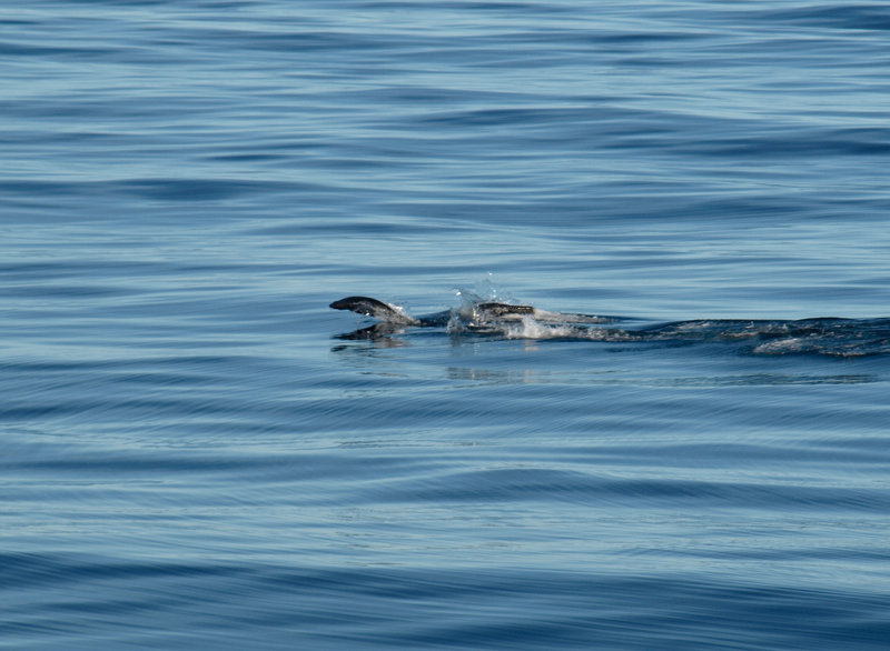
Is it a whale? A seal? A sea-lion? None of the above – these are Magellanic Penguins playing in the calm blue waters. Image courtesy of Chris German, INSPIRE: Chile Margin 2012 Expedition, NOAA-OER. Download larger version (jpg, 723 KB).
After some fairly rough conditions throughout Saturday afternoon and evening, Sunday proved a much better day for weather (so much so that I slept right through my 7 am alarm and didn’t show up in the lab until nearly 9 am – I am clearly a late-emerging contender for the Golden Blanket award on this cruise!). What remained of the morning was spent packing my few boxes of samples and equipment, alongside most of the scientists and engineers in the main lab (only the Sentry data processing keeps going to the very end of the cruise).
Another important task has been to make sure we have all the different data-sets collated and our science and engineering reports written up to hand to Donna to include in the final cruise report – the one master document that all of us will be able to refer back to in future to remind us of everything that just happened, and in what order, and where all the samples ended up in laboratories around the world. It's amazing to think how much we learned in just over four days of work, once we got started work at the Chile Triple Junction late last Sunday – and to realize that was still less than one week ago as I write this.
After lunch we also had a meeting of the lead scientists from the cruise to establish who would be taking the lead on working up different parts of the data sets and samples from this cruise and then writing up these results, together with those already gleaned from our 2010 cruise.
After that meeting, it was time to get out on deck for just a few minutes and enjoy the fine weather. There was one sighting of whales in early afternoon that I only just caught a glimpse of, but in the next 10 minutes, I did get the chance to see other wildlife – even the penguins are heading North!
Perhaps the most impressive sight, however, was just how calm and peaceful the Pacific can be. And what continues to amaze me is that from this far south, you would have to head all the way to New Zealand, if you set off due West, before you would find the next dry land. Indeed, if you were to view the Earth from space, directly above the center of the Pacific, deep ocean would be just about all you could see: more than half of the entire Earth is covered by seawater more than 3,000 meters deep.
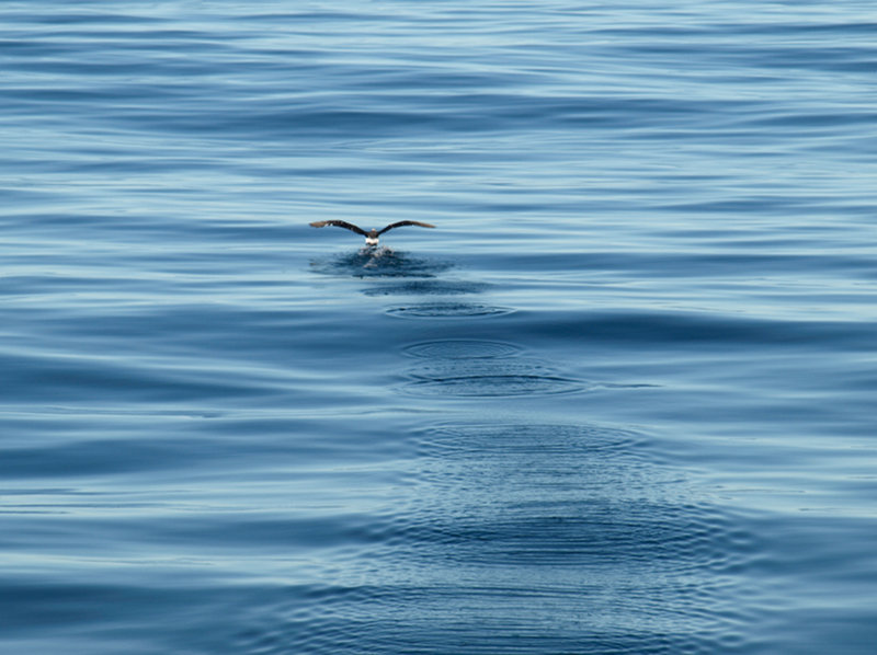
At times this afternoon the water was so calm it felt like you would be able to SEE a pin-drop from the ripples it would impart. Image courtesy of Chris German, INSPIRE: Chile Margin 2012 Expedition, NOAA-OER. Download larger version (jpg, 739 KB).
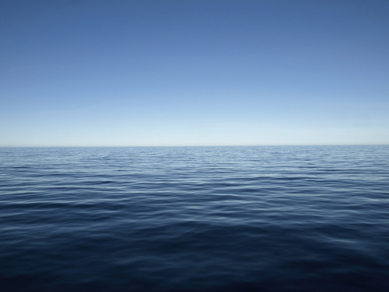
This way to New Zealand! We know plenty about the land that lies due West from here, but little to nothing about what lives in the ocean all along the way. Anybody wanna come explore? I bet the scenery down below is fantastic!!! Image courtesy of Chris German, INSPIRE: Chile Margin 2012 Expedition, NOAA-OER. Download larger version (jpg, 789 KB).
From that perspective, it should be no surprise that there are at least a few weird folks like those of us out on this cruise who marvel about the deep ocean and spend as much time as we can trying to learn more about it while the vast majority of humanity focus more on the dry/shallower water other. In 2010, at the end of a decade of dedicated work by the Census of Marine Life, for example, we found that even following that concerted effort, we still didn’t have enough information, since the start of all oceanographic research more than 100 years ago, to assign a valid measure of the biodiversity of the planet all the way from where I took today’s photograph until you get to the far side of the South Pacific. My personal hope is that within the next decade, we will work together, internationally, to conduct that level of study across what is not only Earth’s largest ocean basin but also the largest continuous ecosystem we know for life on our planet.
I’m already part of a program that, after 25 years of gestation, will work its way halfway across the Pacific in 2013; but right now, as we head into warmer waters, it’s a timely reminder that summer should be approaching now, even in the waters around Cape Cod that I call home. So, it is time to head north and spend some quality time ashore. I hear they have weekends there, so I’ll be looking forward to trying one, five days from now.