
By Kathy Crane, U.S. Mission Coordinator, Arctic Research Office, NOAA
August 29, 2012
Through pictures and video, U.S. mission coordinator for the Russian-American Long-term Census of the Arctic project, Kathy Crane, shows us how the second leg of the 2012 cruise got underway.
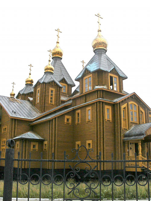
Cathedral in Anadyr, Russia. Image courtesy of Kathy Crane, 2012 RUSALCA Expedition, RAS-NOAA. Download larger version (jpg, 616 KB).
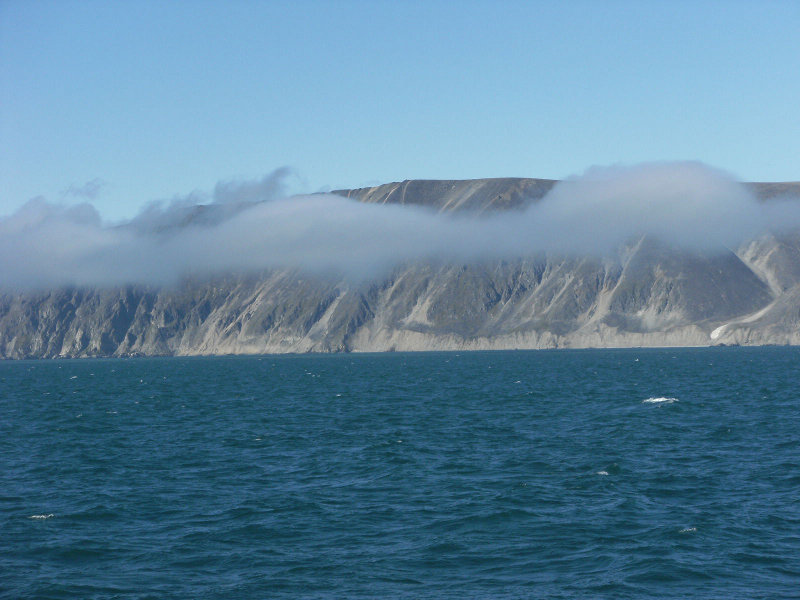
The coast of Chukotka, located in the most northeastern region of Russia, along the Bering Strait. Image courtesy of Kathy Crane, 2012 RUSALCA Expedition, RAS-NOAA. Download larger version (jpg, 540 KB).
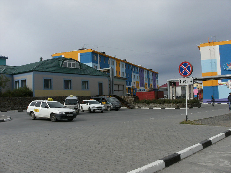
A shot of Anadyr, a port town in Chukotka Autonomous Okrug, Russia. Located at the mouth of the Anadyr River, Anadyr is the easternmost town in Russia. Image courtesy of Kathy Crane, 2012 RUSALCA Expedition, RAS-NOAA. Download larger version (jpg, 552 KB).
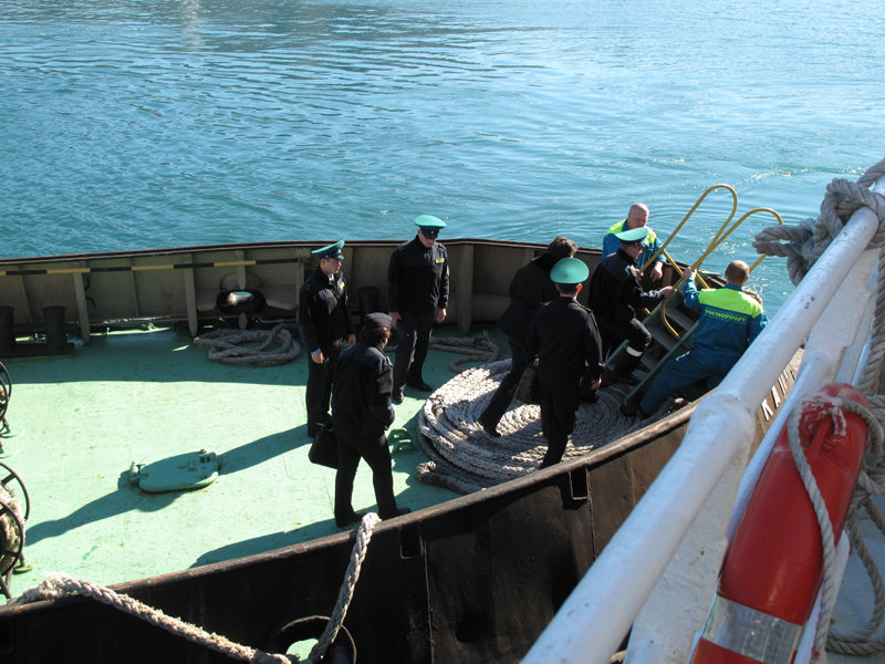
Customs and immigration officials inspect the the Russian research vessel Professor Khromov. Image courtesy of Kathy Crane, 2012 RUSALCA Expedition, RAS-NOAA. Download larger version (jpg, 8.3 MB).
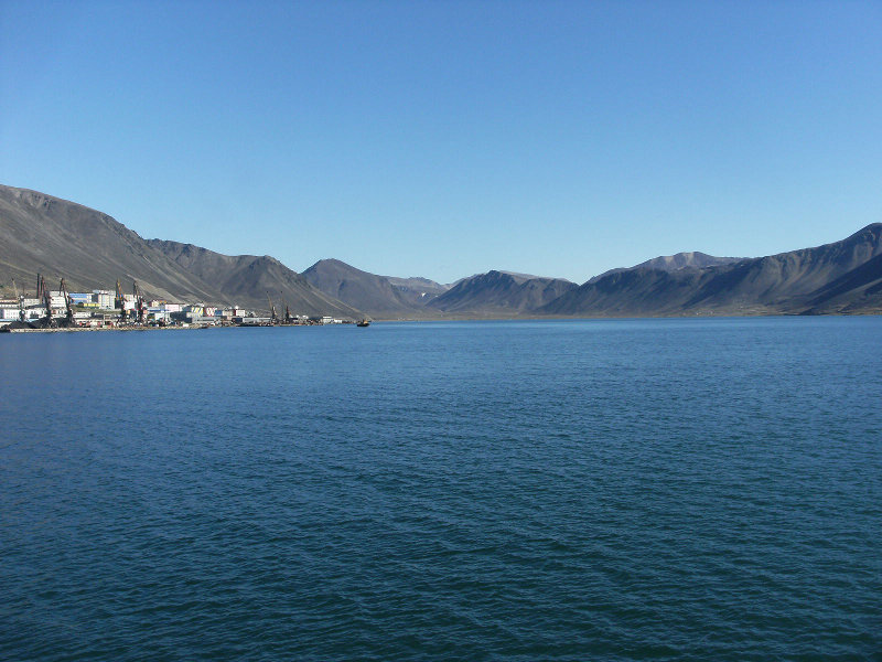
View of Provideniya, a city in the Providensky District of Chukotka Autonomous Okrug, Russia, located on Komsomolskaya Bay, across the Bering Strait from Alaska. Image courtesy of Kathy Crane, 2012 RUSALCA Expedition, RAS-NOAA. Download larger version (jpg, 668 KB).
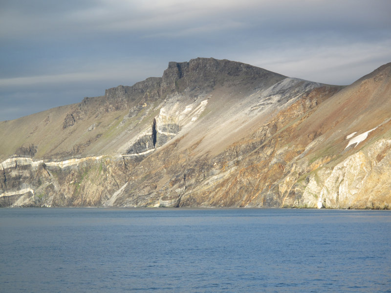
View of the coast of Chukotka, Russia. Image courtesy of Kathy Crane, 2012 RUSALCA Expedition, RAS-NOAA. Download larger version (jpg, 7.6 MB).