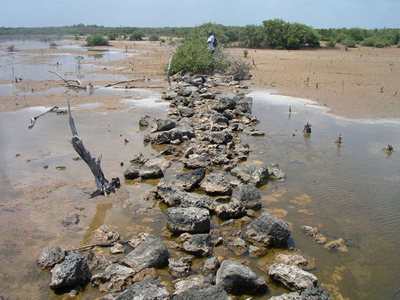
The andador running south across the tidal flats towards the mainland and Templo Perdido. In this picture one can clearly see the remains of the andador. The coarse rubble fill was probably covered by pulverized limestone (sascab) or dirt to create a smooth walking surface. Image courtesy of Proyecto Costa Escondida Maritime Maya 2011 Expedition, NOAA-OER. Download larger version (jpg, 1.8 MB).
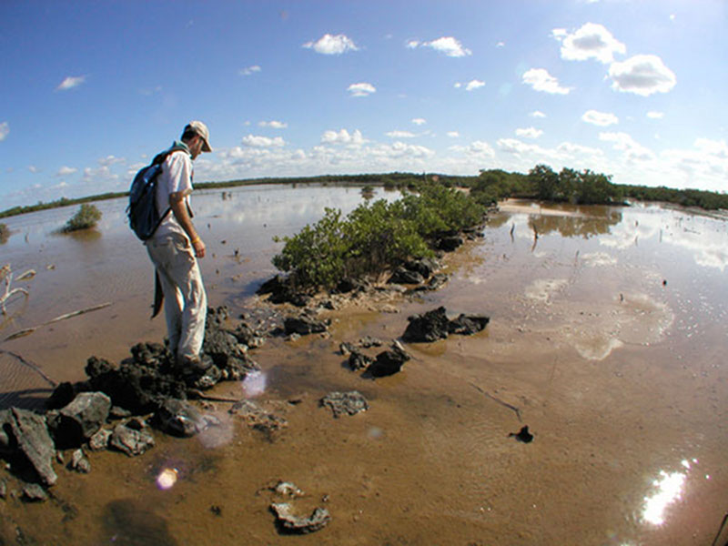
Dominique Rissolo walking the andador (walkway) between Vista Alegre and Templo Perdido. The andador runs from the southern part of Vista Alegre across tidal flats for over a kilometer until it terminates at Templo Perdido (Lost Temple), a small collapsed temple built atop a natural rise. Image courtesy of Proyecto Costa Escondida Maritime Maya 2011 Expedition, NOAA-OER. Download larger version (jpg, 2.0 MB).
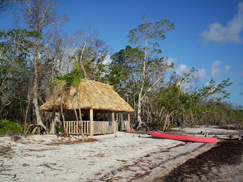
Small palapa (thatch-roofed house) along the northern coast of the Yucatan Peninsula. In 2006, Dominique Rissolo, Jeffrey Glover, and Zachary Hruby explored a 13-mile section of the Yucatan’s north coast by canoe. This palapa served as their base of operations for a few nights. Image courtesy of Proyecto Costa Escondida Maritime Maya 2011 Expedition, NOAA-OER. Download larger version (jpg, 1.8 MB).
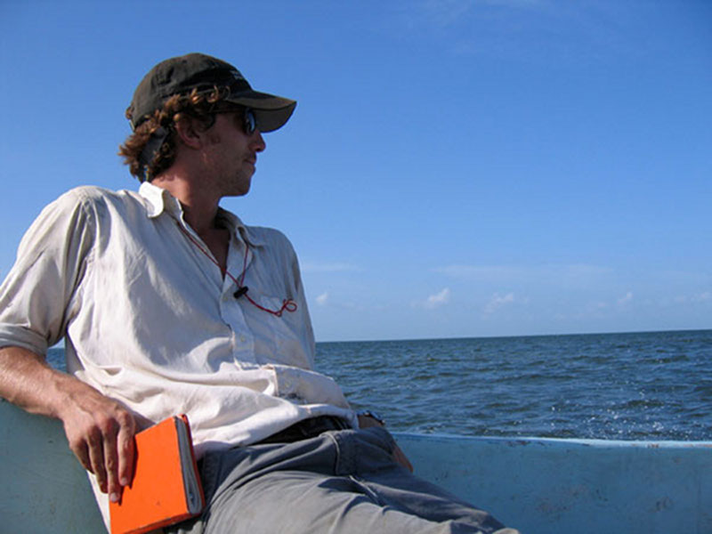
Contemplating fieldwork on the boat ride to Vista Alegre. The site of Vista Alegre is 8 km east of the modern port town of Chiquilá and only accessible by boat. Image courtesy of Proyecto Costa Escondida Maritime Maya 2011 Expedition, NOAA-OER. Download larger version (jpg, 2.2 MB).
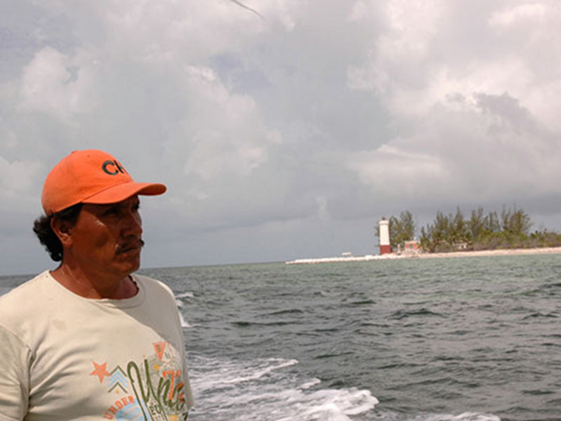
Captain Roberto Echeveria rounding the northeast tip of the Yucatan Peninsula, the lighthouse at Cabo Catoche in the background. Roberto has been the project’s boat captain since 2005. On this day he was taking members of the Proyecto Costa Escondida to the ruins of the 16th century church at Ecab. Image courtesy of Proyecto Costa Escondida Maritime Maya 2011 Expedition, NOAA-OER. Download larger version (jpg, 2.9 MB).

The carved serpent head found at the base of Vista Alegre’s temple structure. The carved serpent head most likely was one of a pair that would have been placed at the base of the balustrades flanking the main set of stairs leading to the top of the main temple structure. Team members found the serpent head in 2002 during the first visit to the site. Image courtesy of Proyecto Costa Escondida Maritime Maya 2011 Expedition, NOAA-OER. Download larger version (jpg, 716 KB).
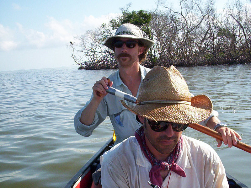
Canoe-based reconnaissance along the Yucatan’s north coast. Dominique Rissolo and Jeffrey Glover (pictured) along with Zachary Hruby explored the north coast of the Peninsula in 2006 searching for Prehispanic and historical sites. Image courtesy of Proyecto Costa Escondida Maritime Maya 2011 Expedition, NOAA-OER. Download larger version (jpg, 1.4 MB).
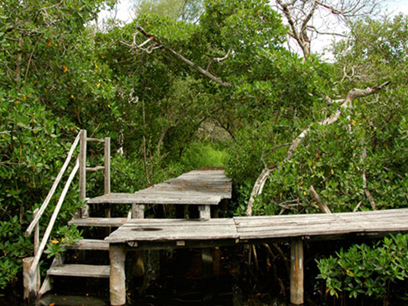
The dock at Vista Alegre. This is where gear is loaded and unloaded. The dock also doubles as the shower in the evenings. Image courtesy of Proyecto Costa Escondida Maritime Maya 2011 Expedition, NOAA-OER. Download larger version (jpg, 5.2 MB).
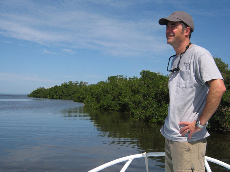
View of the narrow exit as one leaves Vista Alegre and heads toward the main body of the Holbox Lagoon. Image courtesy of Proyecto Costa Escondida Maritime Maya 2011 Expedition, NOAA-OER. Download larger version (jpg, 2.4 MB).
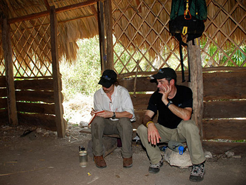
Jeffrey Glover and Dominique Rissolo strategize about fieldwork in the main palapa at Vista Alegre before the 2008 field season. Note-taking is an important part of the archaeological process as is developing a sound research strategy. It is often a slow process, but patience pays off. Image courtesy of Proyecto Costa Escondida Maritime Maya 2011 Expedition, NOAA-OER. Download larger version (jpg, 6.5 MB).
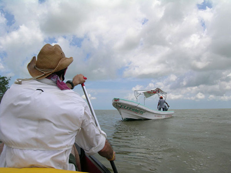
The put-in for the 2006 canoe-based reconnaissance of the north coast. Image courtesy of Proyecto Costa Escondida Maritime Maya 2011 Expedition, NOAA-OER. Download larger version (jpg, 2.1 MB).
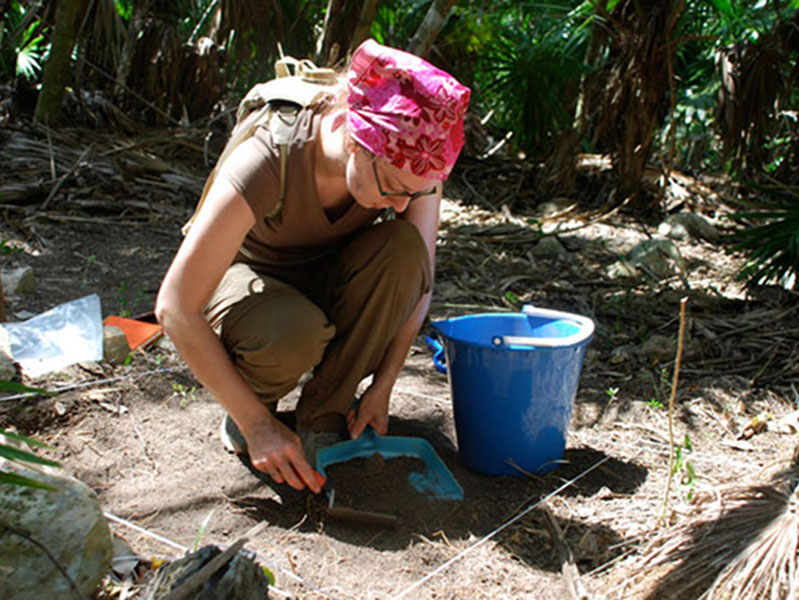
Stacey Whitacre beginning excavation of Unit 3 to the east of the main temple structure at Vista Alegre. In 2008, six 1m by 1m test units were excavated at Vista Alegre to recover basic chronological data about the site’s occupational history. Chronological data are obtained mainly from ceramic materials. Image courtesy of Proyecto Costa Escondida Maritime Maya 2011 Expedition, NOAA-OER. Download larger version (jpg, 6.3 MB).
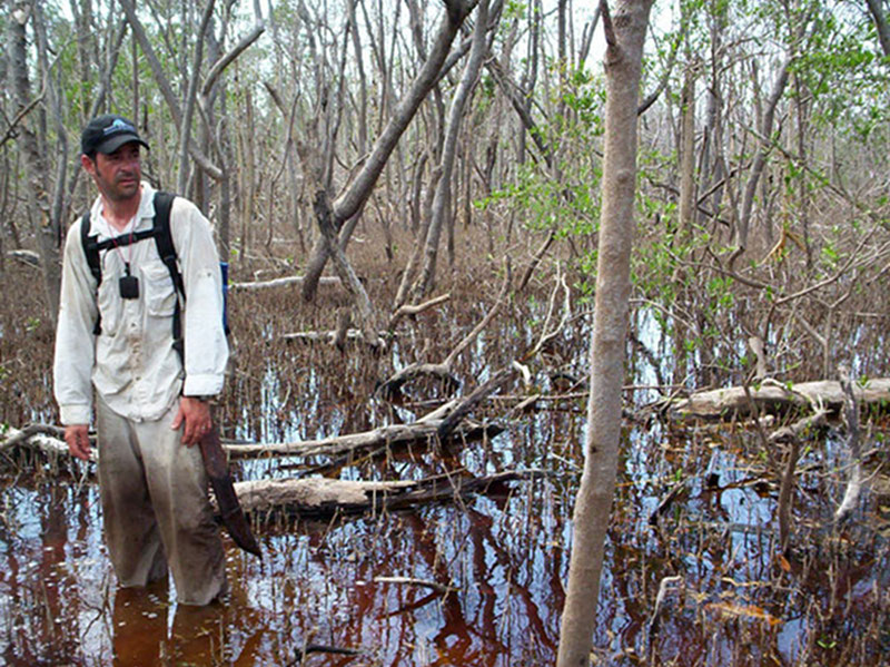
Dominique Rissolo “enjoying” the trek through the flooded forest along the north coast of the Peninsula. As part of the 2006 canoe-based reconnaissance, PCE project members explored whether habitable areas existed to the east of Vista Alegre. This area was not encouraging. Image courtesy of Proyecto Costa Escondida Maritime Maya 2011 Expedition, NOAA-OER. Download larger version (jpg, 2.3 MB).
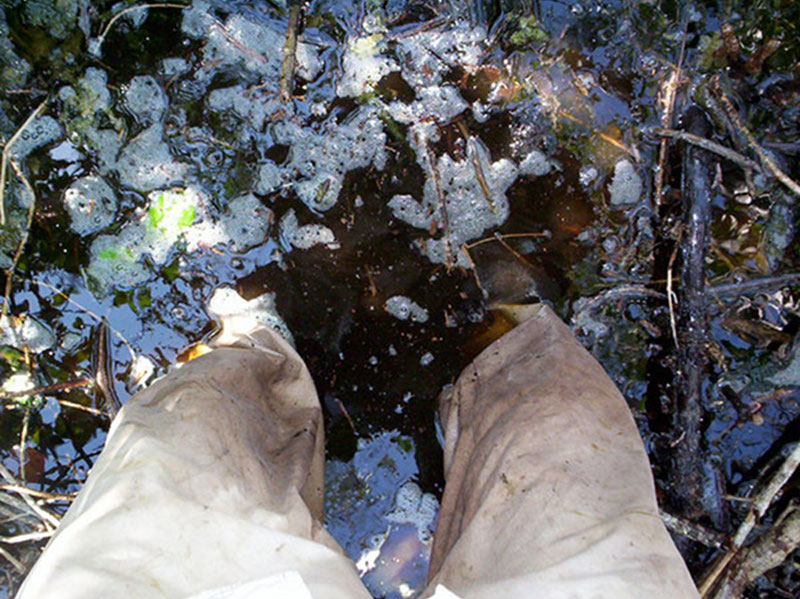
While many people dream of bath-temperature water along a remote coast, the “love-affair” ends after hours of slogging through a flooded forest. Image courtesy of Proyecto Costa Escondida Maritime Maya 2011 Expedition, NOAA-OER. Download larger version (jpg, 1.9 MB).
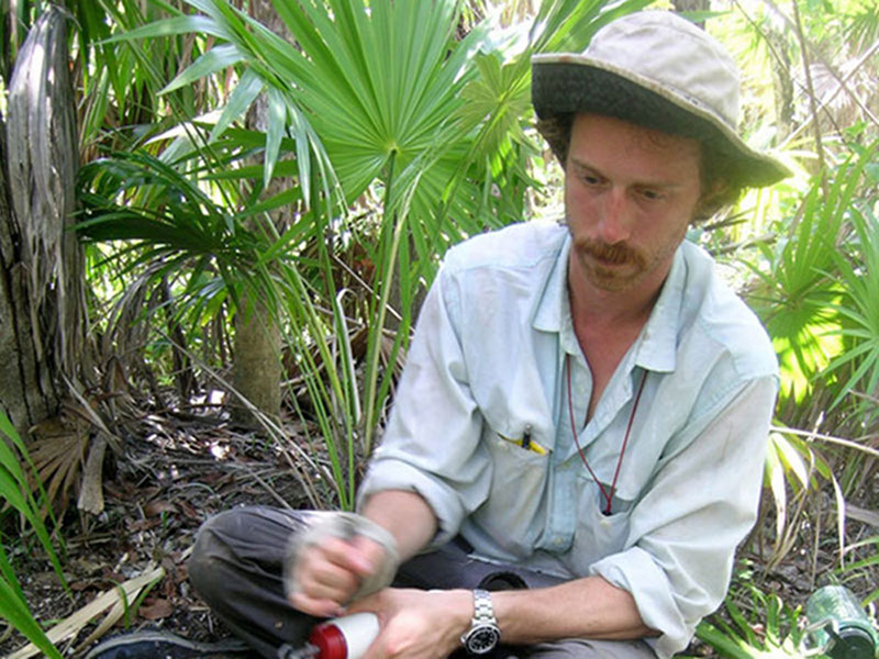
Jeffrey Glover taking advantage of a small puddle to pump water during the coastal exploration in 2006. Access to fresh water was certainly a challenge for coastal inhabitants in the past and remains an issue today. One of the main goals of the 2011 NOAA OER expedition is to help assess where the people living at Vista Alegre obtained their drinking water. Image courtesy of Proyecto Costa Escondida Maritime Maya 2011 Expedition, NOAA-OER. Download larger version (jpg, 3.0 MB).
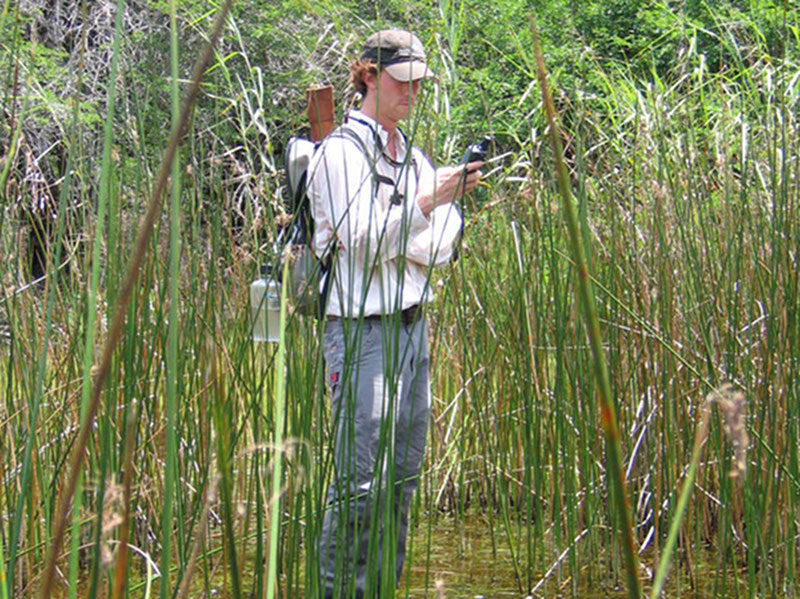
Jeffrey Glover with his GPS marking the location of a small cenote a few kilometers south of Vista Alegre. Image courtesy of Proyecto Costa Escondida Maritime Maya 2011 Expedition, NOAA-OER. Download larger version (jpg, 4.9 MB).
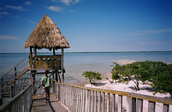
A burgeoning interest in eco-tourism has resulted in the construction of structures such as this observation deck at Isla Pajaros (Bird Island). PCE members are working with local eco-tourism co-op (Puerte Verde) to help as they promote the rich cultural and natural resources of this area. Image courtesy of Proyecto Costa Escondida Maritime Maya 2011 Expedition, NOAA-OER. Download larger version (jpg, 3.4 MB).
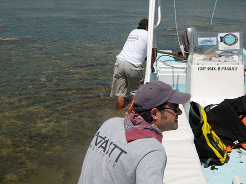
Low tide provides challenges for Dominique Rissolo and Captain Echeveria. Tidal fluctuations are not well recorded in this area where the Gulf of Mexico meets the Caribbean Sea. Image courtesy of Proyecto Costa Escondida Maritime Maya 2011 Expedition, NOAA-OER. Download larger version (jpg, 2.4 MB).
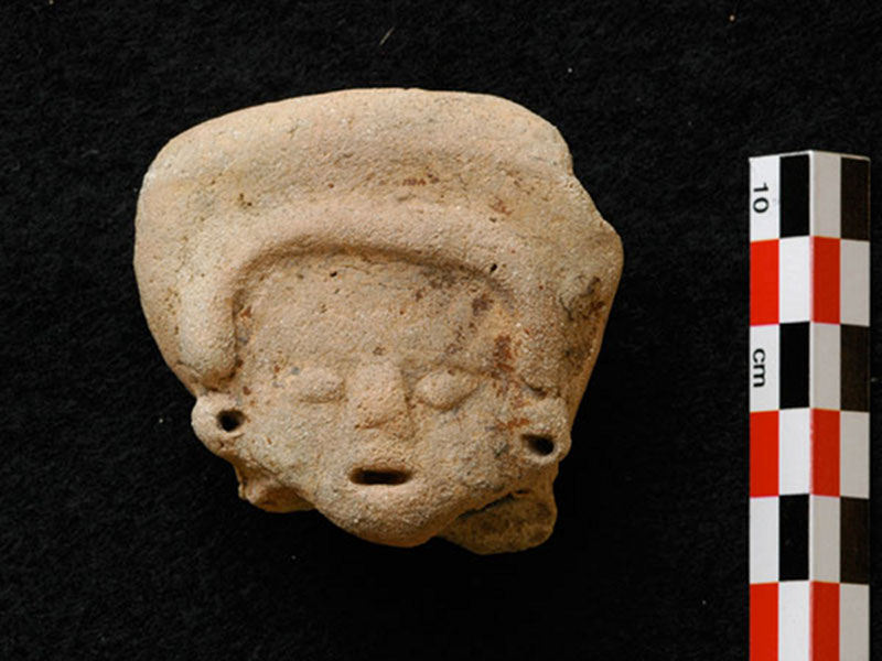
A fragment of a Middle Preclassic figurine that was recovered in 2008. Members of the PCE dated the figurine to the Middle Preclassic (c. 800 – 600 B.C.) based on stylistic characteristics. This figurine probably arrived with the island’s first permanent inhabitants. Image courtesy of Proyecto Costa Escondida Maritime Maya 2011 Expedition, NOAA-OER. Download larger version (jpg, 2.3 MB).
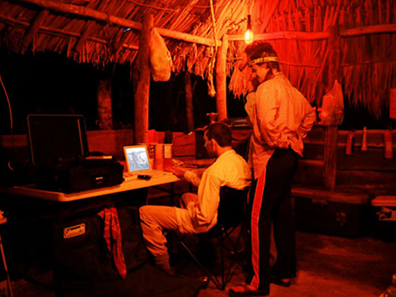
Sam Meacham and Carrie Furman working into the evening at Vista Alegre in 2005. Thanks to a generator PCE members are able to work in the evenings and charge the modern technology that is now an indispensible part of modern archaeological fieldwork. The generator also allows for the viewing of Simpson’s DVDs, another integral component to fieldwork. Image courtesy of Proyecto Costa Escondida Maritime Maya 2011 Expedition, NOAA-OER. Download larger version (jpg, 2.6 MB).
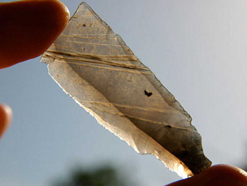
Large fragment of an obsidian blade found at Vista Alegre. Future research hopes to find the source of this obsidian blade fragment and others to help PCE members better reconstruct past trade patterns. Image courtesy of Proyecto Costa Escondida Maritime Maya 2011 Expedition, NOAA-OER. Download larger version (jpg, 2.0 MB).
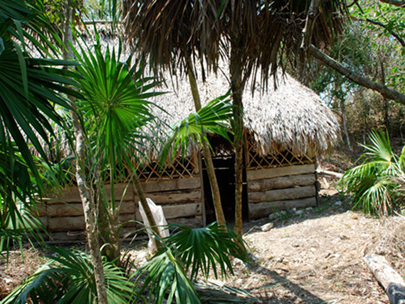
View of the outside of the main palapa at Vista Alegre. Chiquilá community member constructed the palapa and allow PCE project members to use it during the field season. Image courtesy of Proyecto Costa Escondida Maritime Maya 2011 Expedition, NOAA-OER. Download larger version (jpg, 8.5 MB).
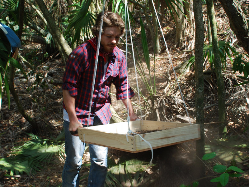
PCE project member Robert Bryant working the screen in 2008. Image courtesy of Proyecto Costa Escondida Maritime Maya 2011 Expedition, NOAA-OER. Download larger version (jpg, 6.1 MB).
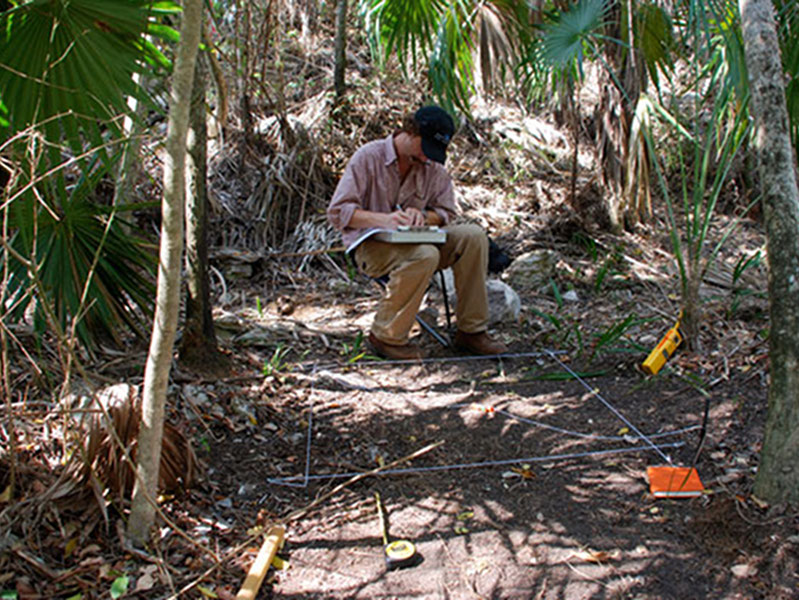
PCE co-director Jeffrey Glover taking notes before beginning work on Unit 2, located in the plaza area to the north of the main pyramid at Vista Alegre. Image courtesy of Proyecto Costa Escondida Maritime Maya 2011 Expedition, NOAA-OER. Download larger version (jpg, 8.0 MB).
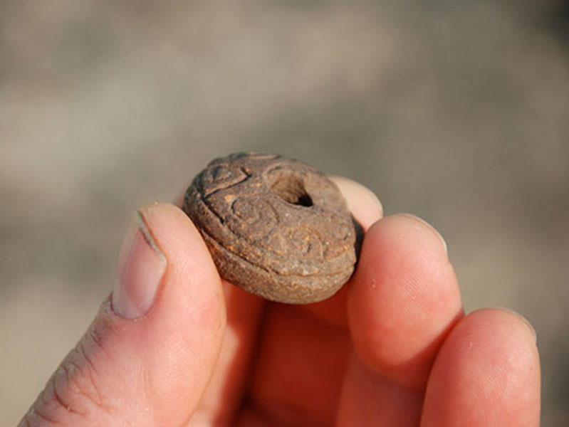
Mold-made ceramic spindle whorl from Vista Alegre. These disks functioned as fly-wheels for handheld fiber spinning rigs. Relative to our sample size spindle whorls are quite common at Vista Alegre and suggest that the site’s ancient inhabitants were manufacturing cotton yarn or even bulk cloth, a major trade item at the time of Spanish Contact. Image courtesy of Proyecto Costa Escondida Maritime Maya 2011 Expedition, NOAA-OER. Download larger version (jpg, 4.0 MB).
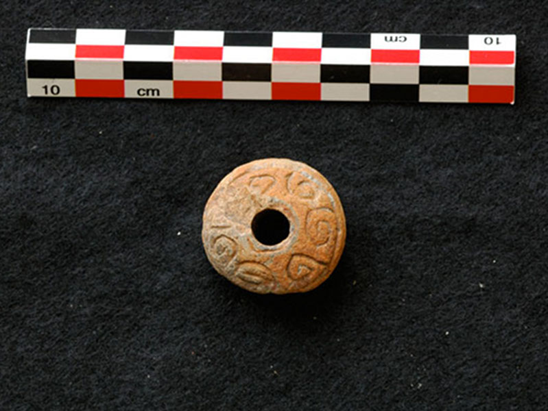
Mold-made ceramic spindle whorl from Vista Alegre. These disks functioned as fly-wheels for handheld fiber spinning rigs. Relative to our sample size spindle whorls are quite common at Vista Alegre and suggest that the site’s ancient inhabitants were manufacturing cotton yarn or even bulk cloth, a major trade item at the time of Spanish Contact. Image courtesy of Proyecto Costa Escondida Maritime Maya 2011 Expedition, NOAA-OER. Download larger version (jpg, 2.0 MB).
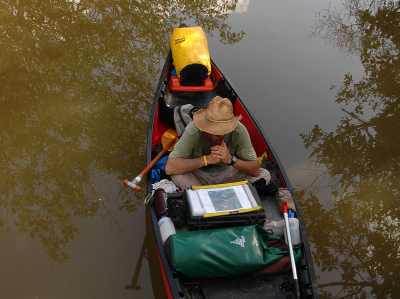
View of our canoe during our 2006 coastal survey at the Vista Alegre dock. Image courtesy of Proyecto Costa Escondida Maritime Maya 2011 Expedition, NOAA-OER. Download larger version (jpg, 3.6 MB).
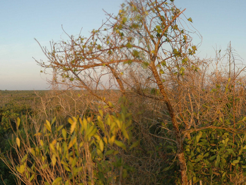
A stitched image of the view to the south of Vista Alegre from the top of the main pyramid. Click on the link below to see the entire picture. Image courtesy of Proyecto Costa Escondida Maritime Maya 2011 Expedition, NOAA-OER. Download larger version (jpg, 5.0 MB).
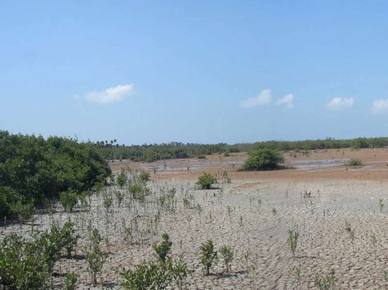
A stitched image of the tidal flats between Vista Alegre and Templo Perdido. Click on the link below to see the entire picture. Image courtesy of Proyecto Costa Escondida Maritime Maya 2011 Expedition, NOAA-OER. Download larger version (jpg, 4.8 MB).
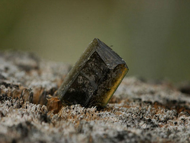
A Pachuca obsidian blade fragment. Obsidian from the source of Pachuca in the modern state of Hidalgo, MX is an important marker of the Terminal Classic period (c. AD 900 – 1100). It is easily recognized due to its greenish color, clearly observable along the blade’s lower edge. Image courtesy of Proyecto Costa Escondida Maritime Maya 2011 Expedition, NOAA-OER. Download larger version (jpg, 2.3 MB).
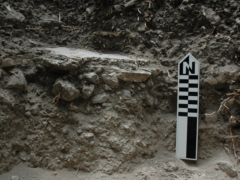
A profile view of a partially preserved stucco floor that would have covered the entire plaza area north of the main pyramid at Vista Alegre. The profile allows one to study the construction technique of the stucco floor, including the subfloor ballast. Image courtesy of Proyecto Costa Escondida Maritime Maya 2011 Expedition, NOAA-OER. Download larger version (jpg, 4.5 MB).
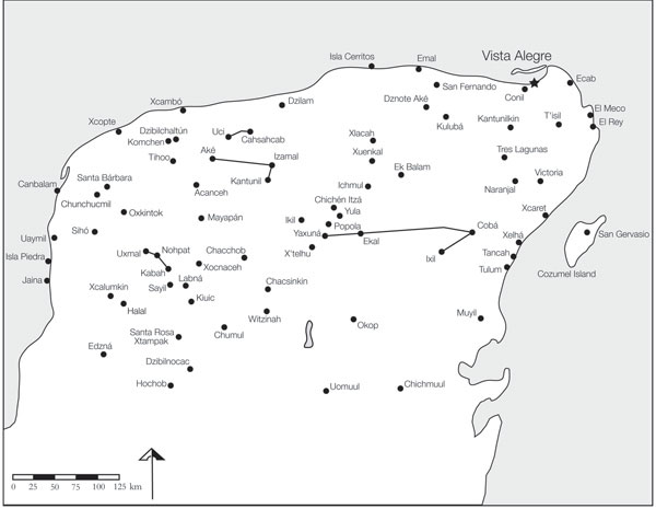
Map of Vista Alegre and other Maya sites in the northern Maya lowlands. Click on the link below to see the entire picture. Image courtesy of Proyecto Costa Escondida Maritime Maya 2011 Expedition, NOAA-OER. Download larger version (jpg, 1.4 MB).
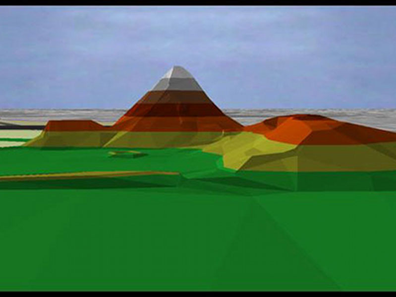
View of the steep-sided pyramid at Vista Alegre. The image is a result of a TIN (triangulated irregular network) map created through the detailed mapping of the site’s architecture with an electronic total station. Image courtesy of Proyecto Costa Escondida Maritime Maya 2011 Expedition, NOAA-OER. Download larger version (jpg, 98 KB).
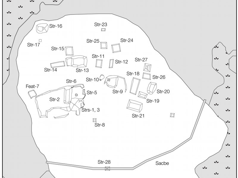
Line-drawing of the known architecture at Vista Alegre. Click on the link below to see the entire picture. Image courtesy of Proyecto Costa Escondida Maritime Maya 2011 Expedition, NOAA-OER. Download larger version (jpg, 917 KB).
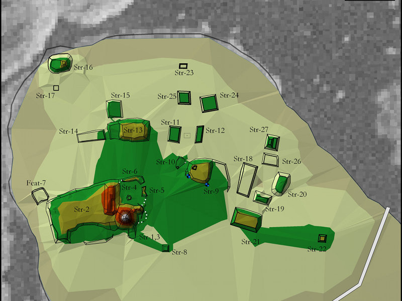
TIN map of the entire island with a georeferenced aerial photo as the backdrop. Click on the link below to see the entire picture. Image courtesy of Proyecto Costa Escondida Maritime Maya 2011 Expedition, NOAA-OER. Download larger version (jpg, 676 KB).
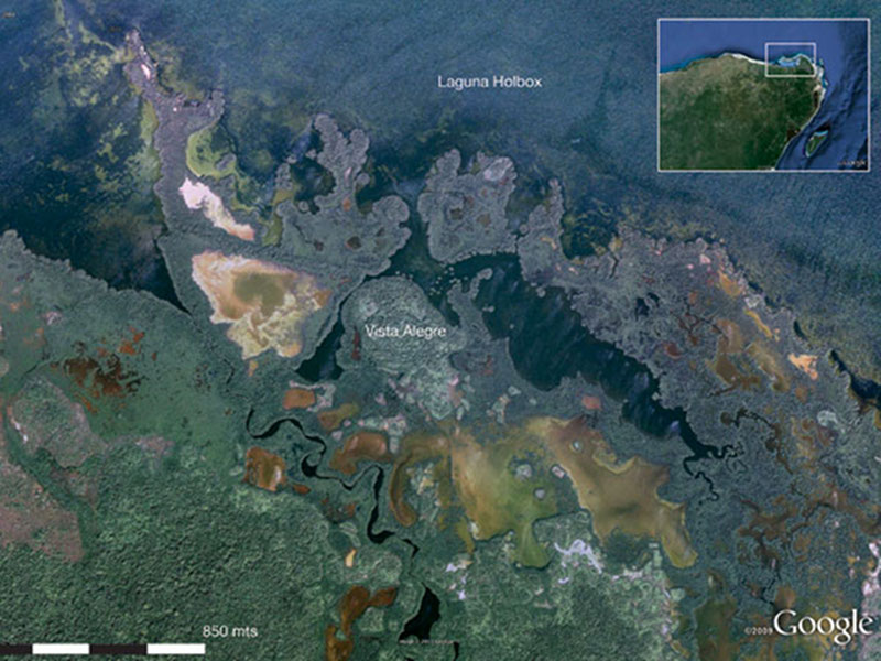
Aerial map showing a portion of Laguna Holbox where Vista Alegre is located. Click on the link below to see the entire picture. Image courtesy of Proyecto Costa Escondida Maritime Maya 2011 Expedition, NOAA-OER. Download larger version (jpg, 11.4 MB).
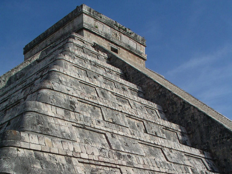
A picture taken of the Castillo at Chichén Itzá. This is one of the most well-known buildings in Mesoamerica. It is a radial pyramid (with a set of stairs on each side) and is positioned in the middle of the massive plaza area that would have held large numbers visitors to the site at the height of Chichén’s power much as it still does today during the Equinox and Solstice. Click on the link below to see the entire picture. Image courtesy of Proyecto Costa Escondida Maritime Maya 2011 Expedition, NOAA-OER. Download larger version (jpg, 490 KB).
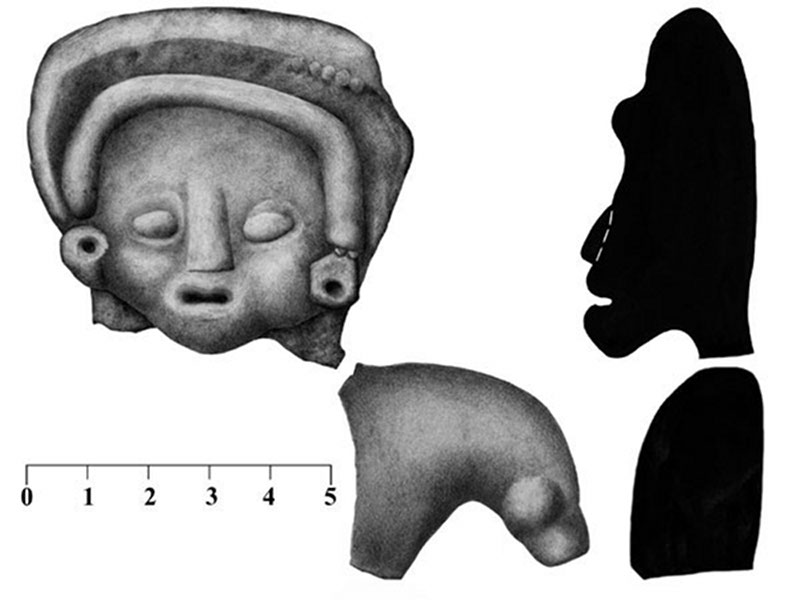
A fragment of a Middle Preclassic figurine that was recovered in 2008. Members of the PCE dated the figurine to the Middle Preclassic (c. 800 – 600 B.C.) based on stylistic characteristics. This figurine probably arrived with the island’s first permanent inhabitants. Click on the link below to see the entire picture. Image courtesy of Proyecto Costa Escondida Maritime Maya 2011 Expedition, NOAA-OER. Download larger version (jpg, 1.8 MB).
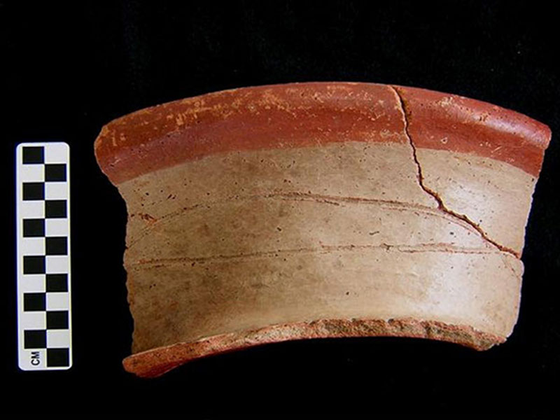
A large Caroline Bichrome sherd (rim, neck, and shoulder of large vase). The Carolina ceramic group was one of the most popular in the Yalahau region, the mainland area to the south of Vista Alegre, during the Terminal Preclassic period (75 BC to AD 400). Image courtesy of Proyecto Costa Escondida Maritime Maya 2011 Expedition, NOAA-OER. Download larger version (jpg, 211 KB).
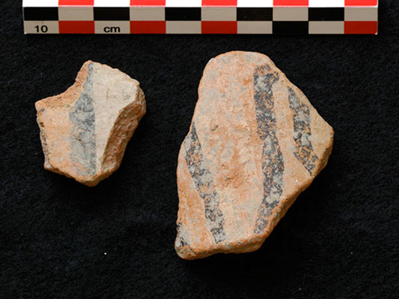
A close-up of two Balantun sherds. Image courtesy of Proyecto Costa Escondida Maritime Maya 2011 Expedition, NOAA-OER. Download larger version (jpg, 1.4 MB).
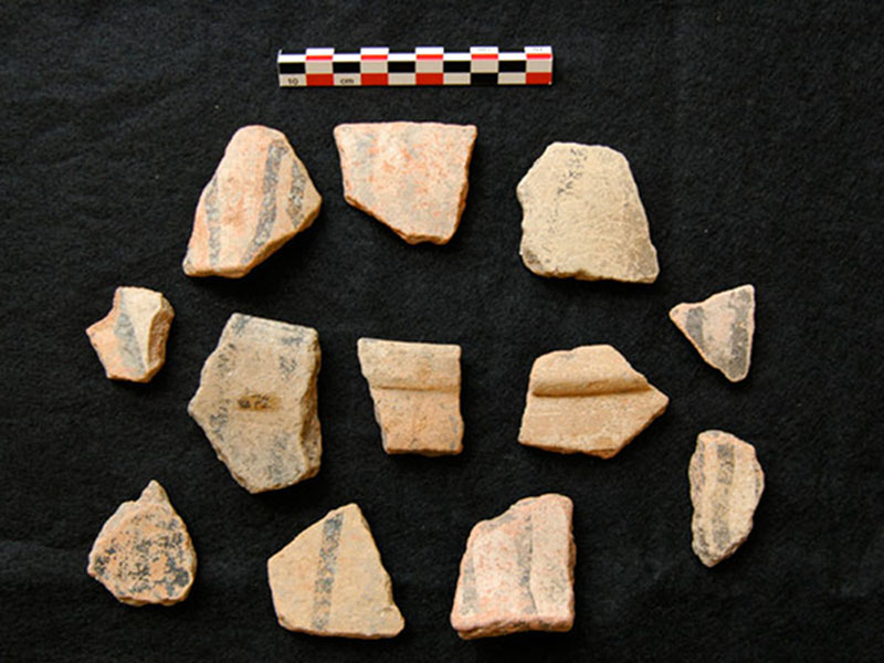
Sherds of Balantun Black on Slate. This ceramic type with the black trickle design was a common domestic ware during the Terminal Classic at Chichén Itzá (AD 900 – 1100). Image courtesy of Proyecto Costa Escondida Maritime Maya 2011 Expedition, NOAA-OER. Download larger version (jpg, 2.1 MB).