By Brian Kakuk, Founder/Director - Bahamas Caves Research Foundation
June 15, 2011
On today’s mission, Paul Heinerth, Jill Heinerth and myself were tasked with an all-out scientific assault on a 220 foot deep site known as the Natural Bridge, a 100+ plus long tunnel that has openings at two ends, one higher up the slope of the Bermuda bank than the other. The site is located near North Rock, outside the reef on the northern side of the island.
Paul’s job was to collect biological and geological samples for the local scientific community while I was asked to survey and map the site. Jill recorded all of the efforts on digital video and still cameras.

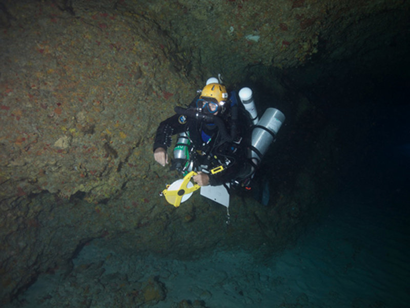
Brian Kakuk making his way back to the boat after measuring the cave and collecting compass headings. Image courtesy of Jill Heinerth, Bermuda Deep Water Caves 2011 Exploration, NOAA-OER. Download larger version (jpg, 564 KB).
Surveying caves is done by taking measurements, either by laying out a pre-measured line through the passages, or by laying out a fiberglass measuring tape, which is more accurate. Measurement of the cave are done in a series of “stations” and each station consists of three measurements, which included Depth (line or tape depth), Azimuth (compass heading), and Distance (measured either on the tape or measured line). This process is known as Cartesian Coordinate Plotting and the stations are then recorded and converted into a map on the surface.
The accuracy of the map is dependent upon several aspects of measurement:
Grade 1 - A sketch of low accuracy where no measurements have been made.
Grade 2 - May be used, if necessary, to describe a sketch that is intermediate between grades 1 and 3.
Grade 3 - A rough magnetic survey. Horizontal and vertical angles measured to + 2.5 degrees; distances measured to + 50 cm (+ 20 in); station position error less than + 50 cm (+ 20 in).
Grade 4 - May be used, if necessary, to describe a survey that fails to attain all of the requirements of grade 5 but is more accurate than grade 3.
Grade 5 - A magnetic survey, horizontal and vertical angles accurate to + 1 degree; distances accurate to + 10 cm; station position error less than + 10 cm (+ 3.9 in).
Grade 6 - A magnetic survey that is more accurate than grade 5.
Grade X - A survey that is based primarily on the use of a theodolite instead of a compass.
Class A - All details based on memory.
Class B - Passage details estimated and recorded in the cave.
Class C - Measurements of detail made at survey stations only.
Class D - Measurements of detail made at survey stations and whenever necessary between stations to show significant changes in passage shape, size, direction, etc.
Due to the depth of the site, time to complete the task was extremely limited, so I quickly swam out a fiberglass measuring tape from one end of the passage to the other, then swam back and began taking measurements and compass headings along its length. Additional measurements were taken for passage depth and passage width at various distances into the tunnel so that a more accurate sketch could be made.
Occasionally during the survey, I would run into Jill and Paul working in the tunnel and at times it got a little loud as Paul hammered away at geology samples on the walls and ceiling of the passage. I was able to keep track of the two other divers by the flurry of light flashes as Jill’s camera recorded our efforts for NOAA and the local scientific community.
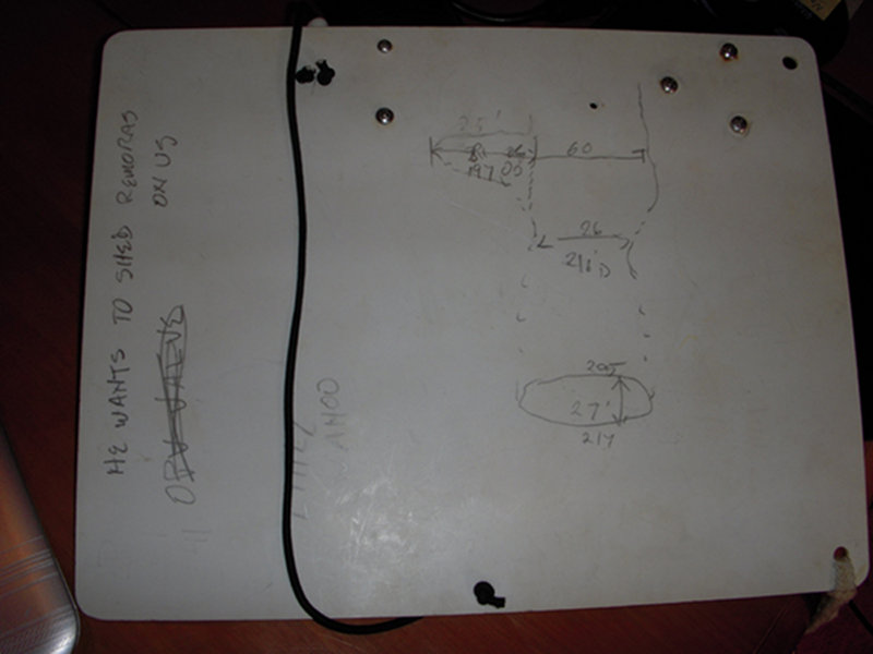
In the end, only 7 linear stations were accomplished in my 20 minutes at the bottom, but the additional measurements taken allowed me to sketch out a fairly accurate interpretation of the site. This gave my resulting map a grade of 3-C which should give the scientific community a good idea spatial representation of the site.

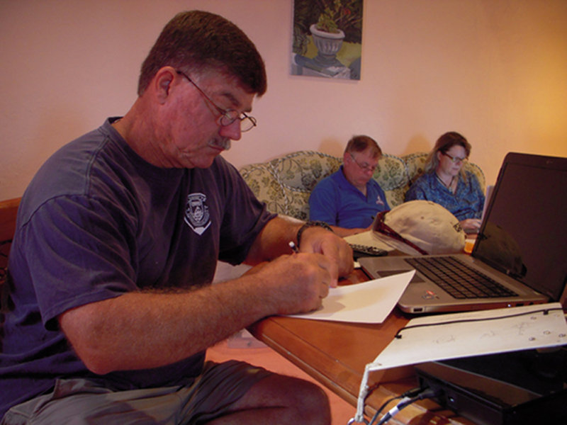
Brian sketching the natural bridge cave back at the cabin. Image courtesy of Bermuda Deep Water Caves 2011 Exploration, NOAA-OER. Download larger version (jpg, 3.7 MB).

Rough sketch of the natural bridge cave outline. Image courtesy of Bermuda Deep Water Caves 2011 Exploration, NOAA-OER. Download larger version (jpg, 3.9 MB).
At the 20 minute mark, Jill, Paul and I met at the bottom of our buoy line and began our long ascent back to the surface. The mission was a great success and the “icing on the cake” for this dive was when a 10 foot wide manta ray came right up to us at our 60 foot decompression stop and swam with me for a few minutes. Surveying an underwater cave has never been so exciting!