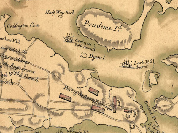
This chart shows the location of the sunken British frigates Cerberus and Lark. It was drawn by a French engineer named Fage, shortly after the scuttling. The wrecks were precisely located in the 1970s by a University of Rhode Island graduate student. Image courtesy of AUVfest 2008: Partnership Runs Deep, Navy/NOAA, OceanExplorer.noaa.gov
NOTICE: This page is being retained for reference purposes only and is no longer being updated or maintained.


