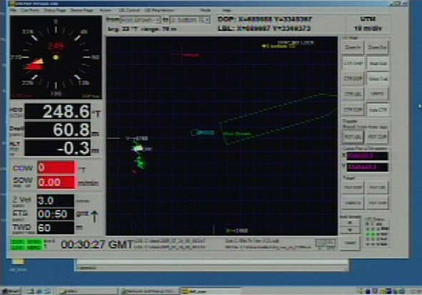
The DVLnav screen indicates the position of the NOAA ship Ronald H Brown and the IFE ROVs Argus, and Hercules. Heading and depth are shown on the left side of the screen, and X and Y coordinates are along the top. Image courtesy of IFE, URI-IAO, UW, Lost City science party, and NOAA.
Related Links


