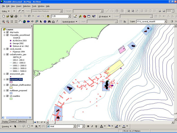
Figure 2. Screen capture of an ArcMap scene containing several layers of data. The left side of the image is a list of the data files included in the map. Check marks indicate that the layers are active (visible). Any data containing spatial information (latitude and longitude) can be displayed in such a scene. Data layers can be turned on or off as needed. Image courtesy of Ross et al., NOAA-OE, HBOI.
Related Links
Life on the Edge 2005: Oct 19 Log


