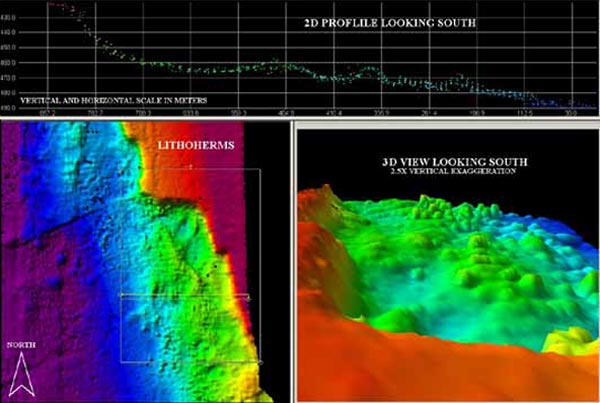
Multibeam image of Mullins Lithoherm. Top map is a 2-D southward view. Left map is a mapview. Right map is the 3-D southward view of the dive site. Image courtesy of NOAA.
NOTICE: This page is being retained for reference purposes only and is no longer being updated or maintained.


