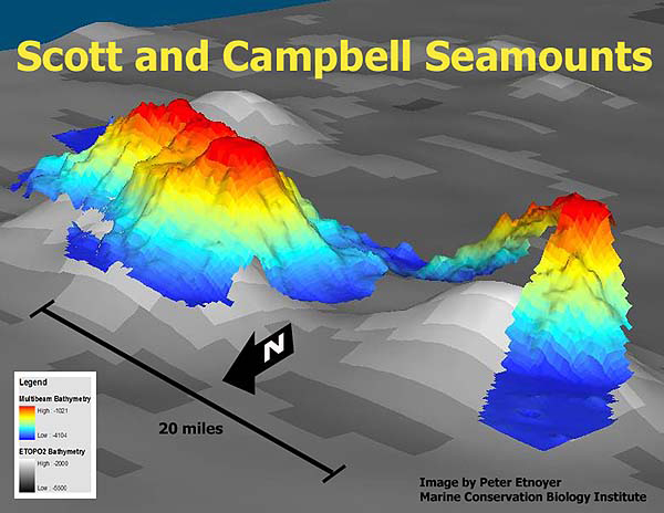
High resolution Seabeam bathymetry (in color) derived from the Atlantis shipboard echosounder is overlayed upon lower resolution ETOPO2 satellite derived bathymetry. Multibeam swath mapping is state of the art technology, but this information is only available for those few areas of the world's oceans where surveys have been conducted. It took the crew of the R/V Atlantis two nights to survey Scott and Campbell Seamounts in the Gulf of Alaska. Image courtesy of Exploring Alaska's Seamounts 2002, NOAA/OER.
NOTICE: This page is being retained for reference purposes only and is no longer being updated or maintained.


