NOAA Ocean Exploration Data Atlas
The NOAA Ocean Exploration Data Atlas is a map-based portal that provides access to all data from NOAA Ocean Exploration-supported expeditions in the NOAA archives. It replaces the Ocean Exploration Digital Atlas, which will be retired in 2023.

NOAA Ocean Exploration expeditions are displayed graphically on the map and listed in the pane on the right side of the viewer. The map and list change as filters are applied in the Filter tab in the pane on the left side of the viewer and when a selection is made.
To make a selection and learn more about an expedition, click on its track or point on the map, and the expedition track will be highlighted and a pop-up windw will appear. Click Zoom to on the pop-up window to zoom in to the expedition. Alternatively, click on the related Show on Map link in the right pane to zoom directly to the expedition (the expedition track will also be highlighted and the pop-up window will appear).
You can use the filters in the Filters tab to search the data atlas by collection year, expedition name/number, platform name, mission group (e.g., campaign), and open text (e.g., seamount, coral). The results of the search will be displayed on the map and in the right pane. Click on the Show on Map link in the right pane for the expedition of interest to zoom in to the expedition. Note: If searching on text, click the magnifying glass icon after entering the text.
A help dialog box will be displayed when entering the data atlas and can also be accessed by clicking on the question mark icon in the upper-right corner of the viewer.
The details provided in the following sections are based on expeditions on NOAA Ship Okeanos Explorer as of 2021. Details and data may vary for older expeditions and expeditions on other platforms. NCEI adds data to the data atlas after data are quality controlled and released and publications and related materials are published. Thus, not all data will be made available at the same time.
Expedition Pop-Up Windows
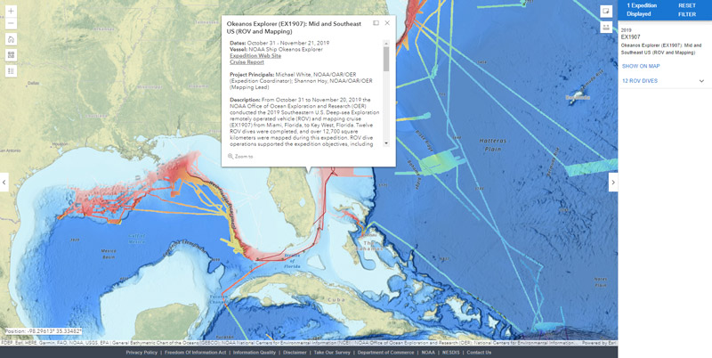
Expedition data and information in a pop-up window include:*
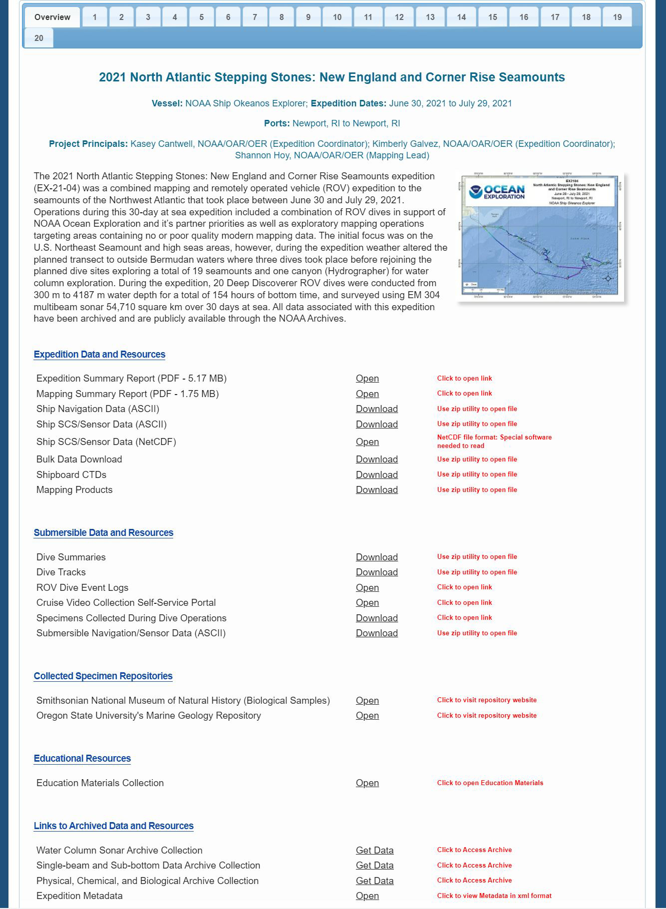
- Basic Expedition Information: This section includes the expedition name and number, dates, vessel, project principals, a brief description, and links to the expedition website and report.
- Data Access: This section includes links to expedition-related data, including:
- Cruise Summary Products:
- Cruise summary map, cruise ship track, seafloor mapping products collection, mapping data report, and CTD profile data.
- Archived Collections:
- Expedition metadata; multibeam, water column sonar, single-beam and sub-bottom, and physical, chemical, and biological archive collections.
- Selected Data Sets:
- Ship navigation data and ship SCS/sensor data.
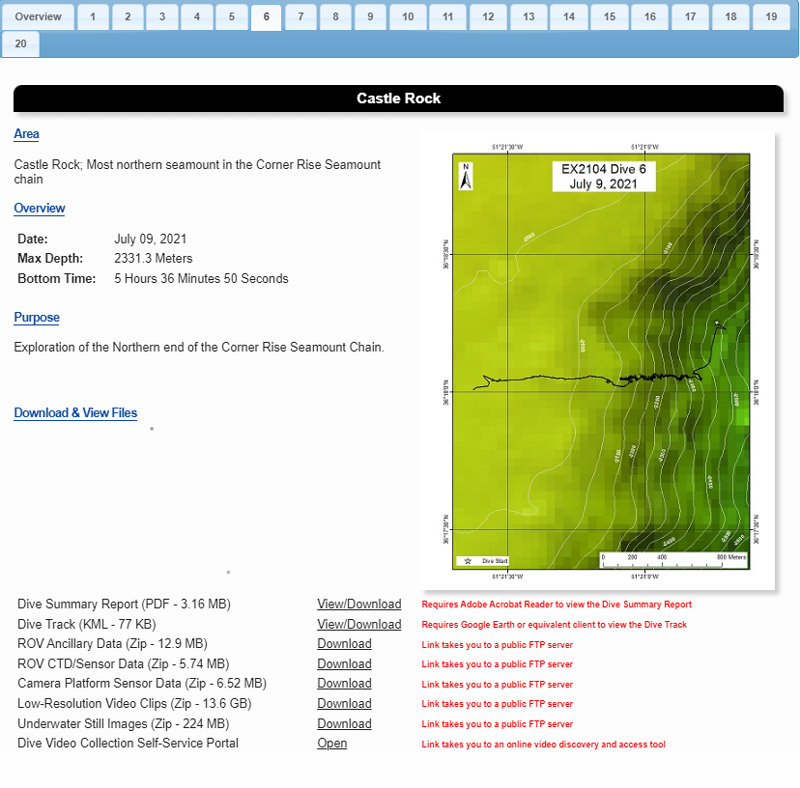
- ROV Data Access: For expeditions with ROV operations, this section provides links to ROV-related data, including:
- ROV Summary Products:
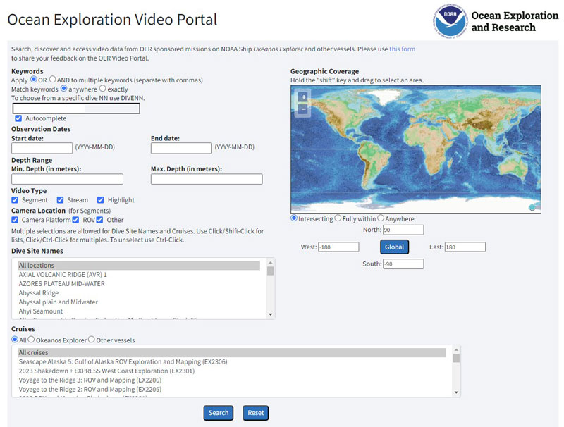
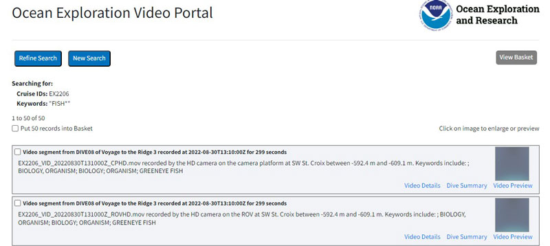
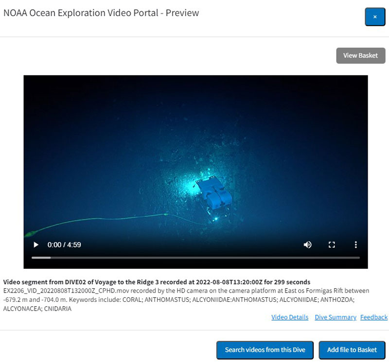
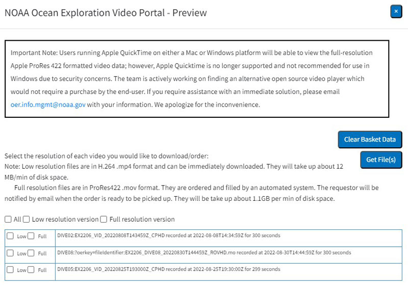
- ROV data access by dive, ROV dive event logs, video, samples collected during dive operations, and submersible navigation/sensor data.
- Sample Repositories:
- Repositories for biological and geological samples collected during an expedition (see Accessing Samples Collected During Expeditions on NOAA Ship Okeanos Explorer).
- Surveys of Opportunity:
- Unplanned data collected as circumstances allow (e.g., photometer data for the NASA Maritime Aerosol Network).
- Publications: This link provides access to expedition-specific plans and reports and expedition-related peer-reviewed publications through the NOAA Central Library’s NOAA Ocean Exploration Library Guide.
- Education: This section describes and links to general and expedition-specific educational materials. (Note: expedition-specific educational materials were not produced for expeditions on Okeanos Explorer after 2019.)
*Some old expeditions had more than one leg. These legs are treated as individual expeditions.
ROV Dive Pop-Up Windows
In the right pane of an ROV expedition display, click on the [number] ROV Dives link to expand the pane to show each of the dives by number. Click on a dive number to zoom to the dive on the map. ROV dive data layers include ROV dive location, ROV entry/exit points (in water, out water, on bottom, off bottom), dive track, and sample locations by type (biological, geological).

Click on a dive location (green diamond) or dive track when zoomed in (purple line) to access a pop-up window.
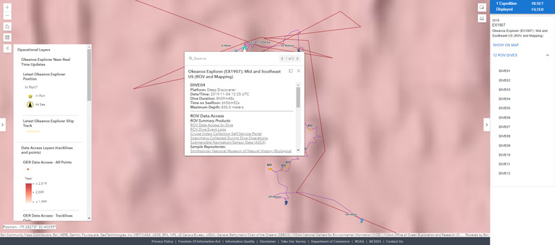
ROV dive data and information in a pop-up window include:
- Basic Dive Information:
- Expedition name and number, dive number, dates, platform, dive duration, time on seafloor, and maximum depth.
- ROV Data Access:
- Links to ROV-related data, including ROV data access by dive, ROV dive event logs, video, samples collected during dive operations, and submersible navigation/sensor data.
- Sample Repositories:
- Links to repositories for biological and geological samples collected during an expedition (see Accessing Samples Collected During Expeditions on NOAA Ship Okeanos Explorer).
- Basic Expedition Information:
- Expedition dates, vessel, project principals, and a brief description plus links to the expedition’s website and report.
